

I’ve camped all over the world and the Cirque of the Towers trail, located in the Wind River range of Wyoming, is probably THE most beautiful backpacking trip I’ve ever been on, with sprawling fields of wildflowers, turquoise lakes, and dramatic granite spires that jut out of the earth.
You have a LOT of options while planning this trip—from which direction to hike the loop trail and how many days it will take you to hike it to where to set up camp along the way. After my husband, Justin, and I spent hours upon hours researching and perfecting our route, here’s everything you need to know to have an incredible time along the Cirque of the Tours, one of the best backpacking trips in the United States.
This post may contain affiliate links. If you make a purchase through them, we may receive a small commission, for which we are extremely grateful, at no extra cost to you.
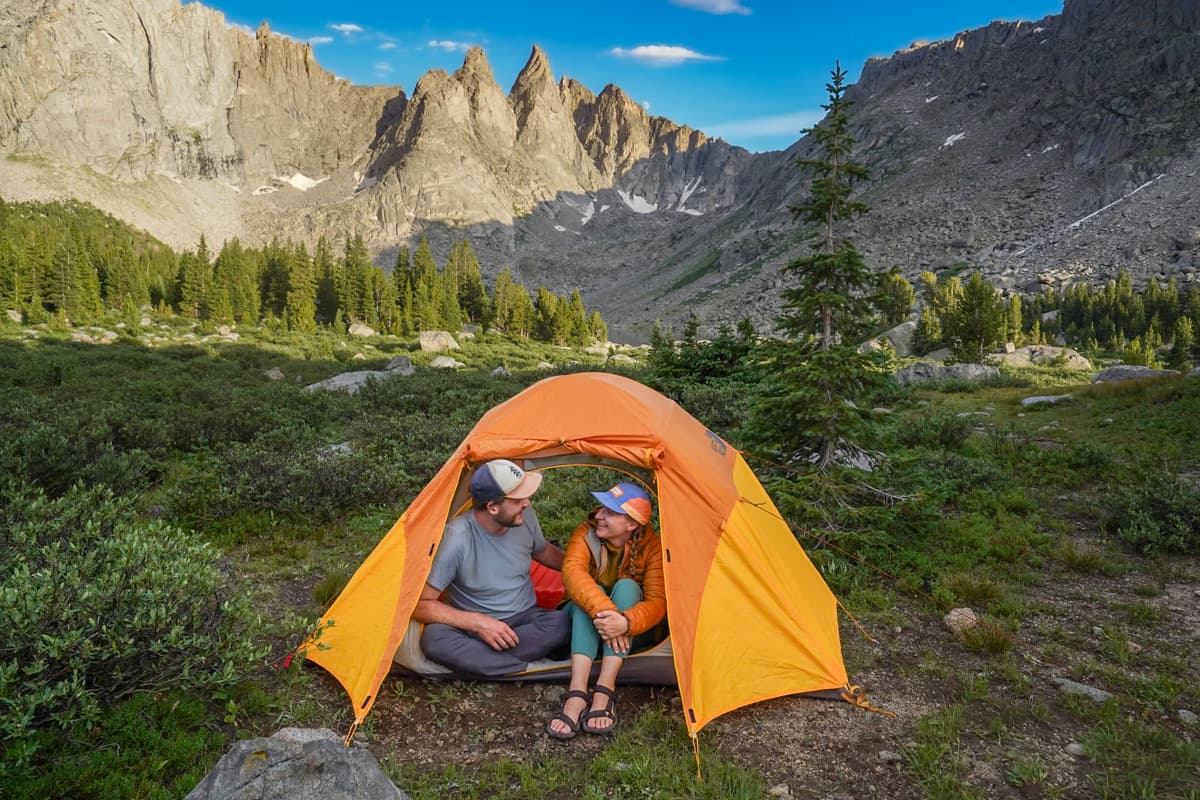

About the Cirque of the Towers
The Cirque of the Towers is a loop trail that sits on the Continental Divide, straddling the boundary between the Bridger-Teton and Shoshone National Forests.
It’s typically hiked over the course of three days and two nights, although some people (including us!) do it as a two night trip, while others take four days (or more!) to immerse themselves in the epic views. I love that it’s kind of a choose-your-own-adventure—you can make it as challenging or doable as you want!
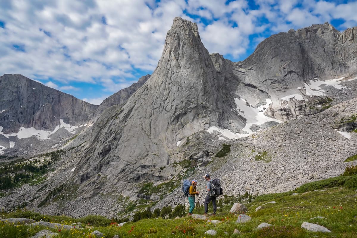
Here’s a brief look at the stats for the trail:
- Length: 23.7 miles
- Elevation gain: 3,871 feet
- Difficulty: Hard
- Trail map
- Permit required? No permit is required, but you are supposed to register at the trailhead sign.
How to get to the Cirque of the Towers
The Cirque of the Towers trail departs from the Big Sandy trailhead, located here near the town of Boulder, Wyoming.
Getting to Boulder, Wyoming
To be honest, Boulder is kind of in the middle of nowhere, located about three hours southeast of Jackson or five hours southwest of Cody, Wyoming.
If you’re flying in for the Cirque of the Towers (we met TONS of people on the trail who specifically traveled to hike it!), I’d generally suggest flying into Jackson Hole Airport, picking up a rental car, and, after spending a couple days exploring Grand Teton National Park, driving down to Boulder.
Most travelers spend the night before their hike in the nearby town of Pinedale, which has a handful of hotels, like the Gannett Peak Lodge or Lakeside Lodge, so they can get a bright and early start at the trailhead in the morning.

Alternatively, if you’re on a tighter budget, we spotted lots of people camping at dispersed sites in the Bridger-Teton National Forest, right by the trailhead, or even at the trailhead parking lot itself!
Driving to the trailhead
From Pinedale or Boulder, it’s still a little over an hour and a half drive to the trailhead.
Most of the drive is along Big Sandy Elkhorn Road, which winds through a bunch of free range cattle farms. If you’re driving when it’s dark out, be sure to drive slowly—the cows can be difficult to spot along the road!
The road starts paved, but the last 26 miles are gravel. The majority of the road is REALLY well-maintained, but as we got closer to the trailhead, we encountered some pretty gnarly potholes and uneven sections.
It really wasn’t too awful in our high-clearance SUV, but I’d be super careful if you’re driving a sedan (and, if you have a rental, be sure you’re allowed to drive on unpaved roads!).
Parking lot
The parking lot is pretty large, holding over 100 cars and with lots of extra areas for overflow parking.
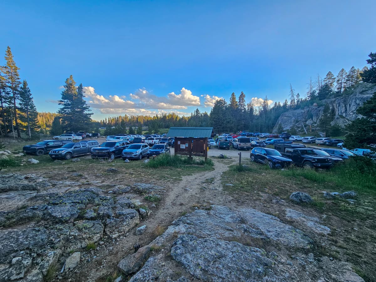
Still, when we arrived around 8 AM on a Friday in July, the parking lot was almost completely full, with only a handful of parking spots left. Accordingly, if you’re visiting on a weekend or holiday, I’d be sure to get here early (ideally, before 7 AM) to ensure you can snag a spot!
There are two vault toilets on the northeastern side of the parking lot, as well as a trailhead sign with important notifications, like fire and camping restrictions or warnings about cyanobacterial blooms in the water.
What to know about hiking the Cirque of the Towers
Here are some things that I wish I knew before hiking the Cirque of the Towers.
The trail is really poorly marked
The Cirque of the Towers intersects with TONS of trails, both established and social, that seemingly lead off in every direction. It’s not an exaggeration to say that we got turned around on the trail over a dozen times, even following along with an offline map. You absolutely need to have an offline map of the trail, like on AllTrails, with you to safely complete it.
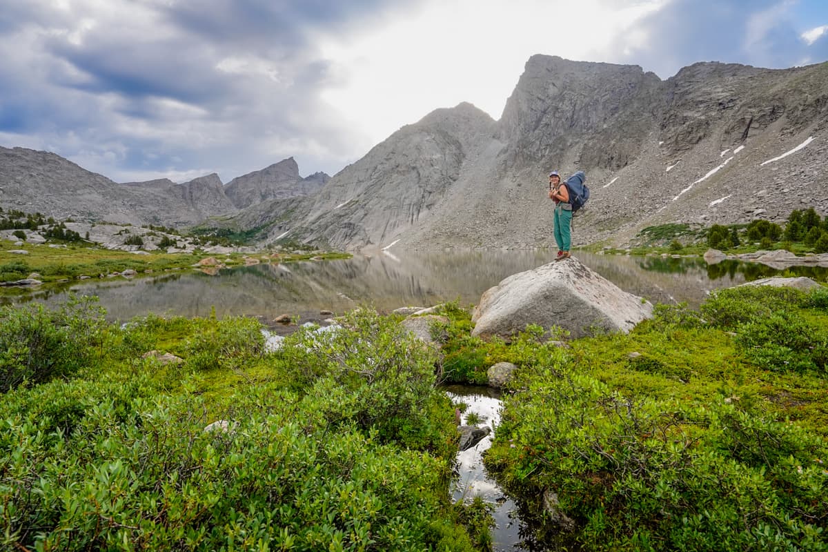
You need to have AllTrails+, a premium membership of AllTrails, to download offline maps, but luckily, we got the hookup for our readers, with 30% off your annual subscription. All you need to do is use this link and use the promo code “UPROOTED30” at check out!
Dogs are allowed (but I’d personally only bring an adventure pup with me!)
Dogs on leashes are allowed here, but I’d be a bit cautious about bringing one.
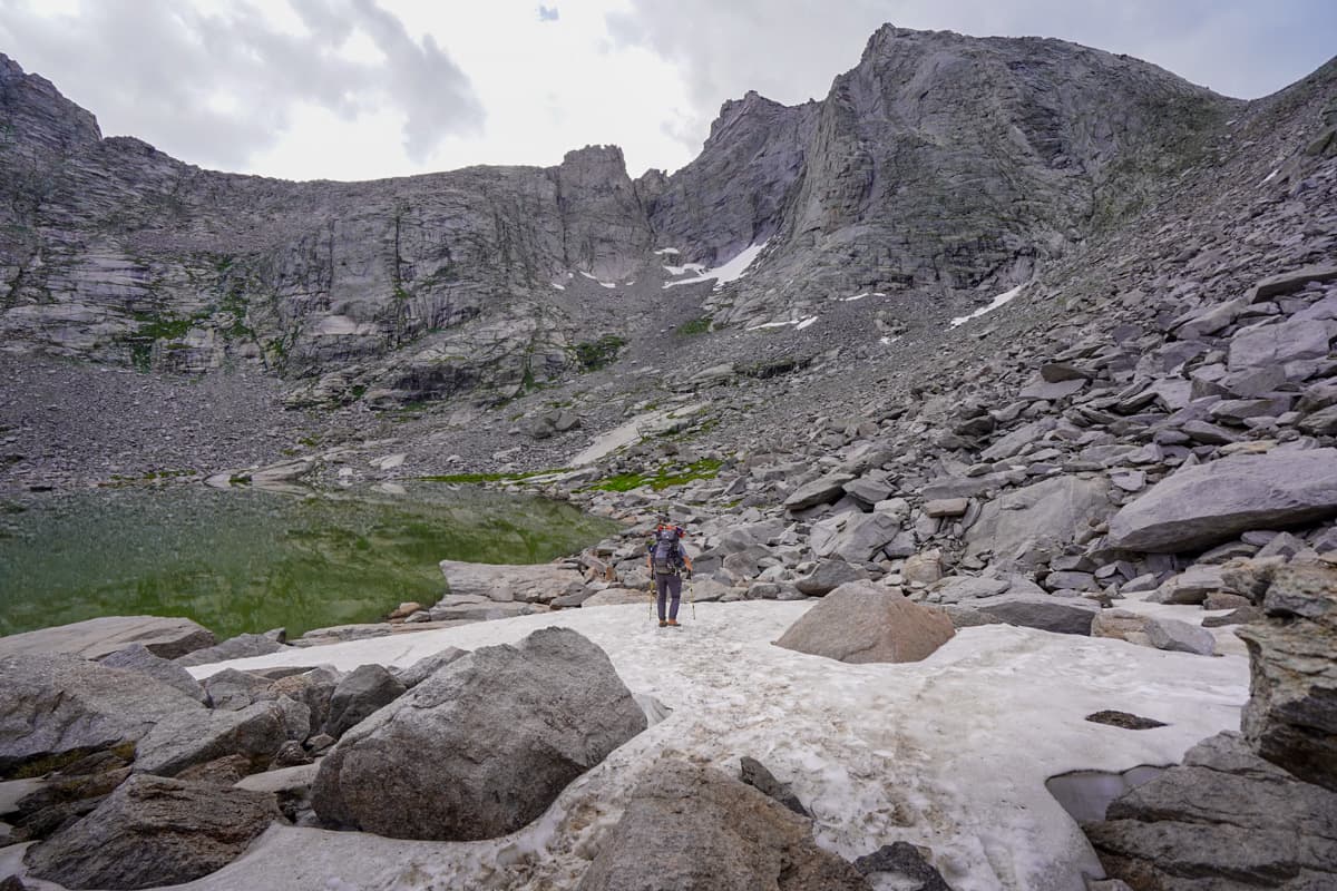
Dogs should be fine for the vast majority of the trail, but there is one section, called Texas Pass, that requires a REALLY steep scramble (climbing about 700 feet in just 0.3 miles) up a field covered with boulders and scree.
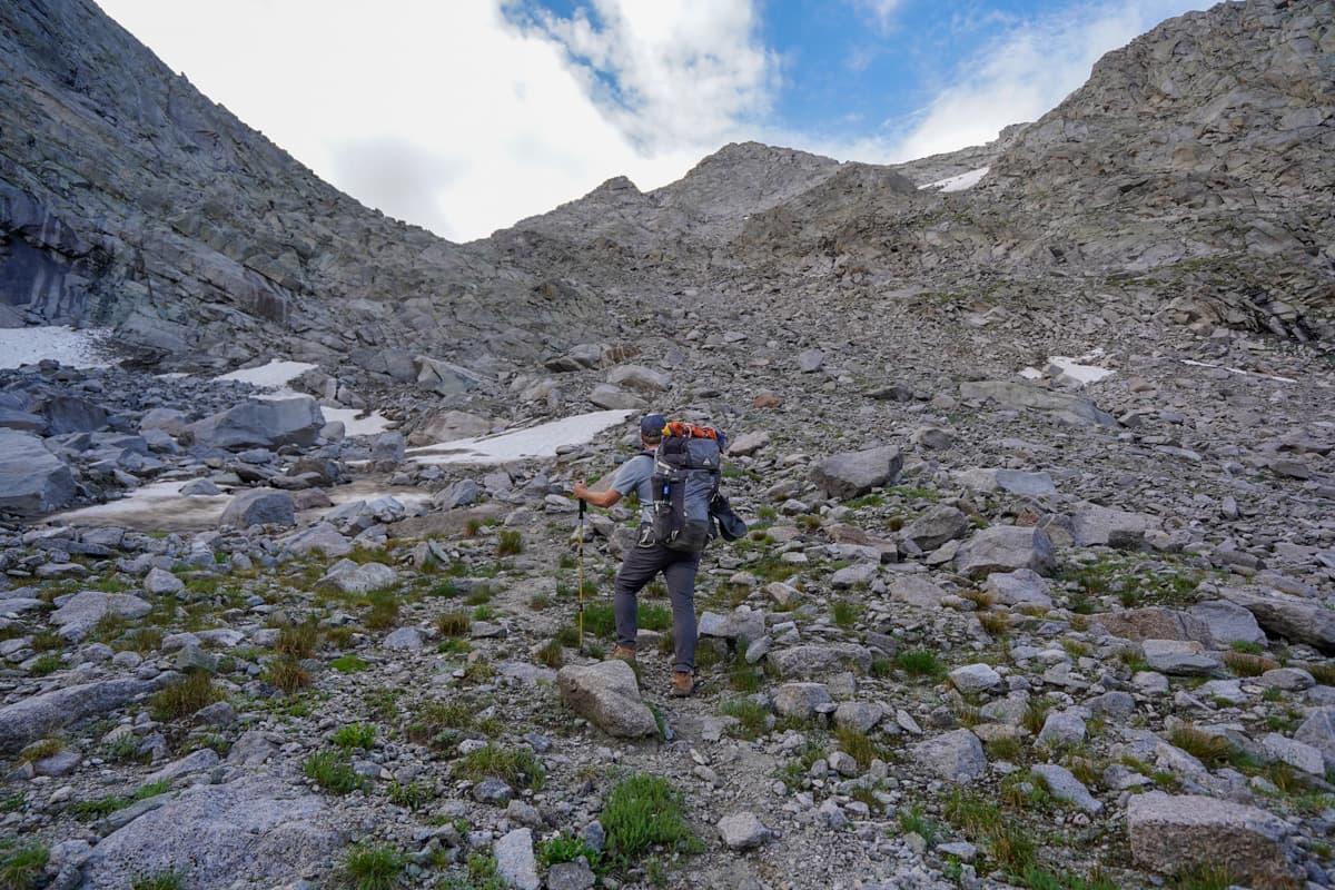
While we were hiking this section of the trail, there was a group in front of us that had a dog that was REALLY struggling and who even fell between two boulders during her climb.
Obviously, this may not be the case for all dogs, but I’d personally only bring pups that are experienced at scrambling on this type of rocky terrain—it would absolutely not be safe for you to hike on this section while carrying a dog.
Pssst… if you bring your dog along for the hike, please be sure to bring enough doggie bags, clean up after it, and carry all the used bags out with you. The Wind River range is quite fragile, and the ecosystem definitely doesn’t need more dog poo added to the mix!
Mosquitoes can be really bad
Before hiking here, we kept reading review after review on AllTrails about how mosquito-y the hike was.
We certainly encountered LOTS of bugs on the trail, but, for the most part, the mosquitoes were concentrated around the boggy Shadow Lake, as well as the last five miles of the trail (if you’re hiking clockwise) from Big Sandy Lake, back to the trailhead.
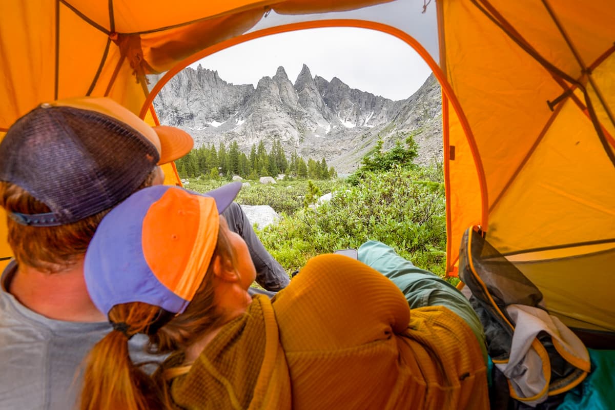
If you’re really sensitive to mosquitoes, I might suggest camping or cooking at other locations besides these particular places. Otherwise, just bring lots of bugspray with you and you’ll be fine!
Insider tip: We also encountered LOTS of bees on the western half of the trail. If you happen to be allergic or sensitive to bee stings, I’d definitely recommend coming prepared with whatever medication you might need, in case you get stung.
Be careful of where you drink from
One of the awesome things about the Cirque of the Towers is how many water sources there are along the trail, with seemingly countless streams and lakes to get your water from.
However, cyanobacterial blooms (i.e., blue-green algae) have been reported in the water around the Cirque of the Towers. This type of algae can produce toxins or other irritants, which can cause illness in humans and animals.
Boiling or using a water filter does not get rid of these toxins.
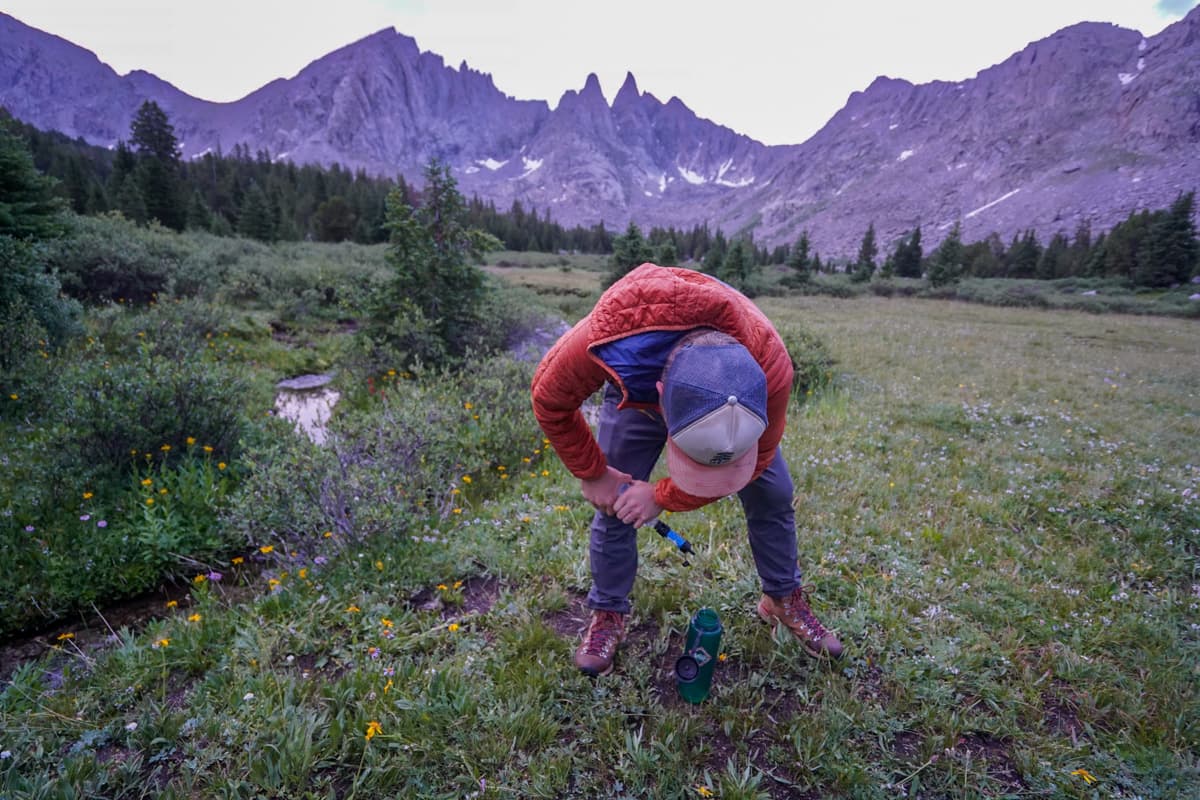
When you’re getting water to drink, be sure to steer clear of any kind of growth in the water that might look like spilled paint, grass clippings, clumps, or scum.
You also shouldn’t drink from Lonesome Lake, which sits directly at the foot of the Cirque of the Towers. Due to people pooping too close to its shores, it has fecal bacteria levels that are almost 400 times higher than safe swimming levels (gross, gross, gross!). Friendly reminder to poop (and pee!) at least 200 feet away from any water sources along the trail!
Finding campsites can be tricky
There are a handful of camping restrictions along the trail:
- Don’t camp within 200 feet of any of the lakes or the trail itself
- Don’t camp within a quarter of a mile of Lonesome Lake (due to its fecal contamination)
- Only camp on durable surfaces, like dirt or rock, and on campsites that have been previously established by others
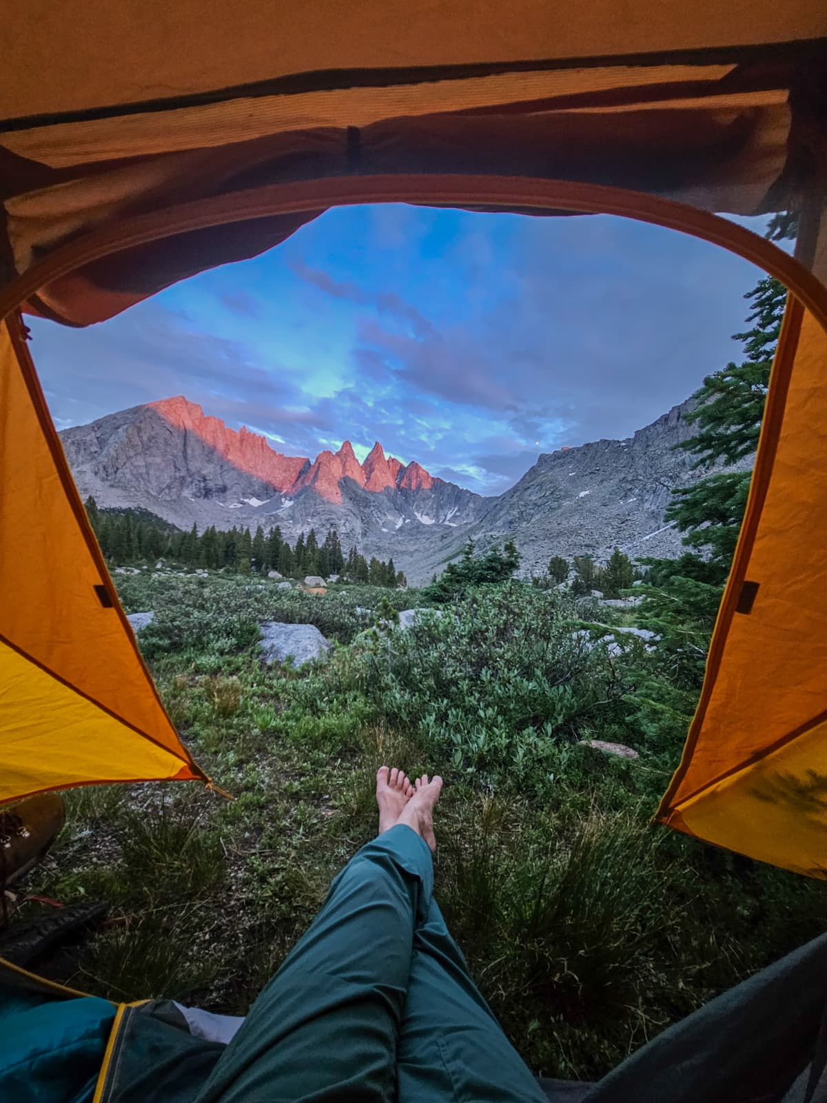
Despite there being limited requirements to stick to and the expansive area that the Cirque of the Towers covers, finding campsites can actually be kind of tough.
Most of the established campsites are around the many lakes and WAY closer to both the trail and the water than 200 feet away. Plus, it can be tough to find spots that are on durable surfaces (i.e., there are ENDLESS meadows, but you definitely shouldn’t camp on that!).
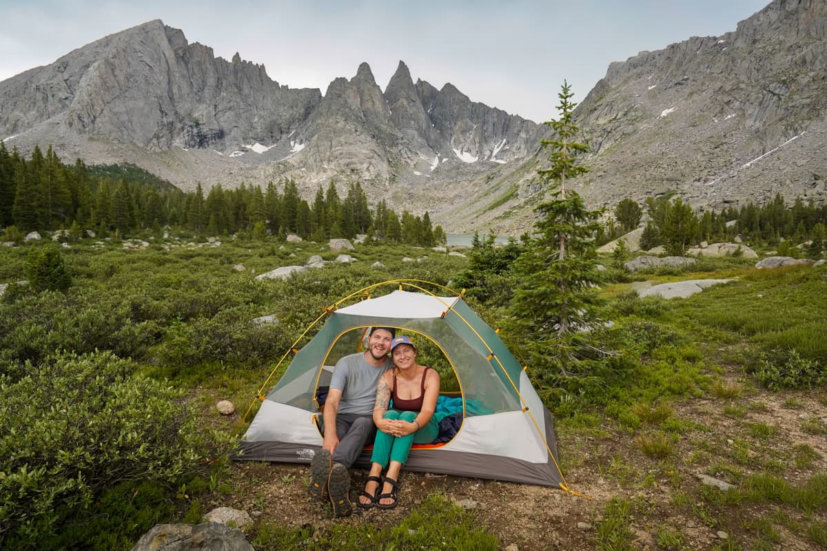
I’d suggest trying to get to wherever you’re camping for the night on the early side to scope out an ideal spot and to give yourself a buffer, in case you have a tough time finding anything. We ran into quite a few people who had hiked the trail multiple times, so, when in doubt, don’t be afraid to ask others to point you in the right direction!
This is bear country
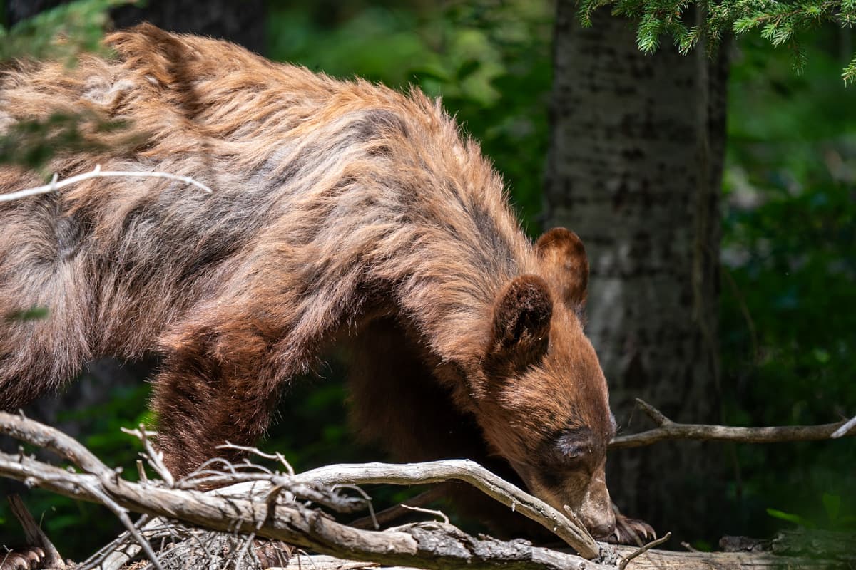
Both black and brown bears live around the Cirque of the Towers, so you should take appropriate safety precautions while hiking and camping here, including:
- Using a bear canister to store your food and any items with smells (e.g., toothpaste, chapstick, and deodorant) and store it at least 200 feet downwind of your tent. Bear canisters are required along the trail.
- Cooking 100 to 200 feet downwind of your tent
- Knowing how to behave if you happen to encounter a bear along the trail (here‘s a good guide that the National Park Service put together)
- Having bear spray in an accessible spot in the unlikely event that a bear acts aggressive towards you
What to expect along the Cirque of the Towers
The Cirque of the Towers is a lollipop trail, with a 0.5 mile section from the trailhead that leads to a loop.
Should you hike the loop clockwise or counterclockwise?
The most popular way—and the way that Justin and I hiked the Cirque of the Towers—is clockwise.
The elevation gain is much more gradual in this direction. Plus, you’ll be going up Texas Pass, a notoriously steep section of the trail that requires scrambling over a scree rock field. In our opinion, it’s always a bit scarier (and more likely to lead to injuries) to be going down a steep and rocky area!
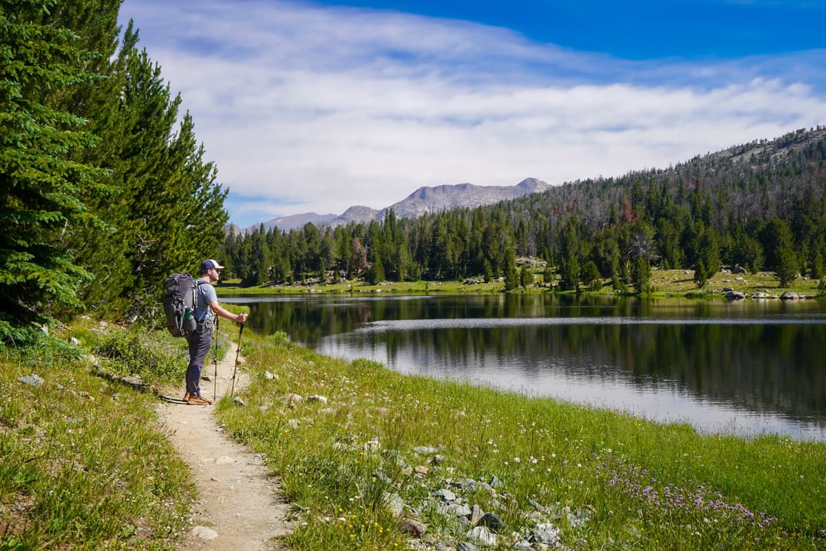
Accordingly, I’m going to be detailing the trail in a clockwise direction.
From the trailhead to Shadow Lake
- Length: 10.9 miles
- Elevation gain: 1,700 feet
From the trailhead, it’s 0.6 miles along a fairly flat pathway that follows along the Big Sandy River to where you’ll turn left to enter the loop, if you’re hiking clockwise like us.
The fork here isn’t super obvious (a consistent theme throughout the Cirque of the Towers), so I’d suggest being sure to keep an eye on your GPS, so you don’t miss it (like we did!).
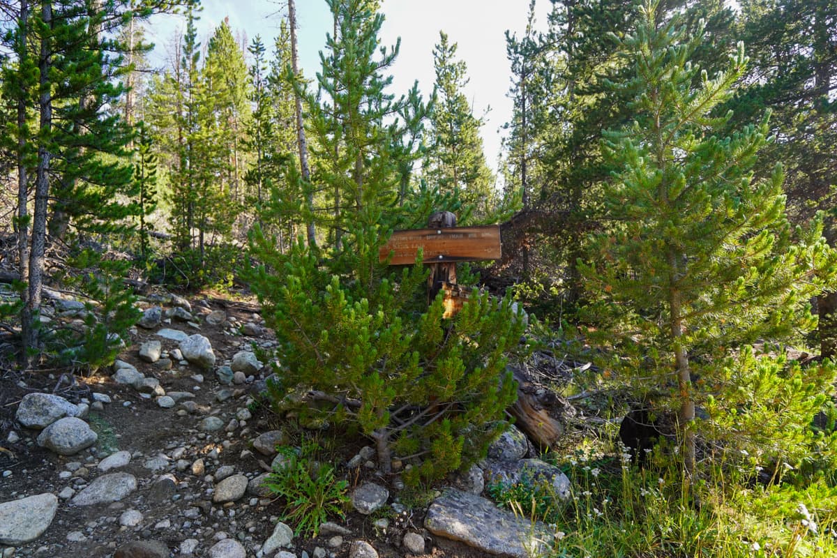
The next three miles climb through a spruce and pine tree forest, before popping out into a meadow, with your first views of the Wind River Range, off in the distance.
The trail flattens out for the next four or so miles, weaving between the shorelines of a number of pretty lakes, like Mirror, Dads, and Marns Lakes. We stopped at Dads Lake for lunch, which had beautiful views and, more importantly, good sittin’ rocks to enjoy the aforementioned views.
After our lunch, we continued on for the last few miles of our hike. While the incline becomes a bit steeper in this section, the elevation gain on this entire stretch of the hike is pretty gentle.
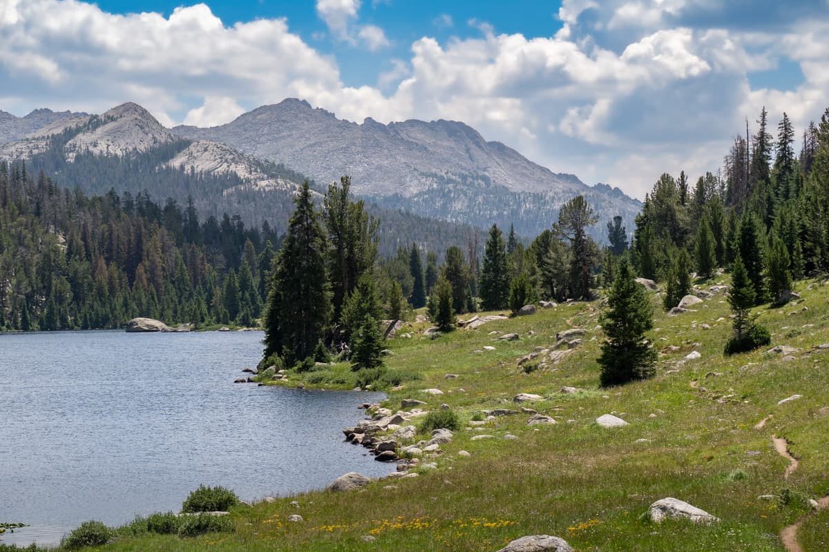
About nine miles into your hike, the trail curves to the east, offering the first views of some of the crazy, jagged mountain peaks of the backside of the Cirque of the Towers, off in the distance.
After hiking for about another mile through wildflower meadows, you’ll have to cross the Washakie Creek.
When we visited in mid-July, after a few very rainy days, the creek water was up to approximately our knees, so we took off our hiking boots and crossed in our Tevas instead (here’s the pair that I wear and here’s the pair that Justin uses).
However, from looking through other hikers’ reports on AllTrails, it’s not always that high, so you might be able to get away with crossing it in waterproof boots during certain parts of the year, like if you’re visiting in fall, when there’s less snowmelt.
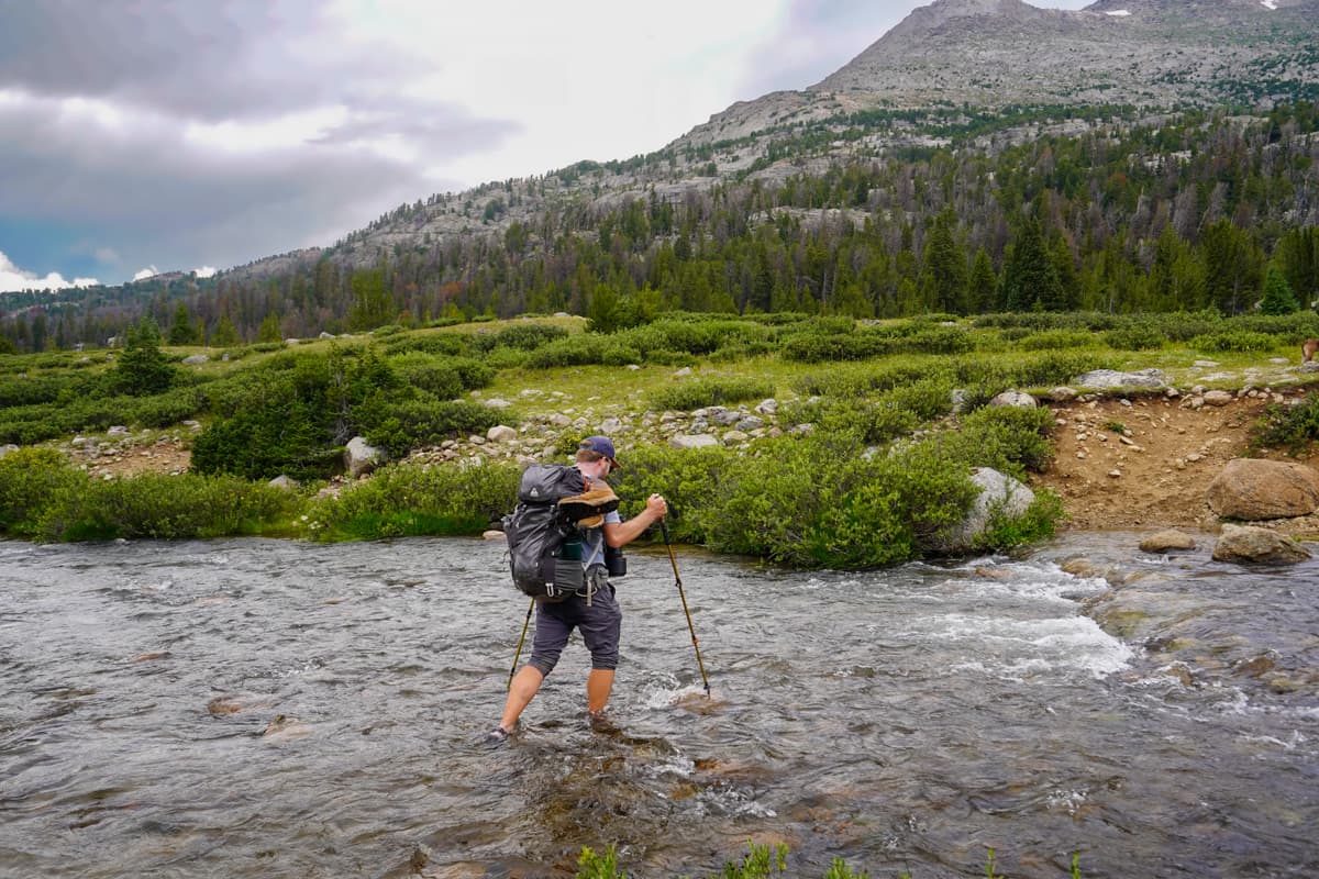
Once you make it across Washakie Creek, it’s only about another mile to Shadow Lake, which most people use as their campsite for the first night.
The trail forks from the main Cirque of the Towers pathway towards Shadow Lake at 10.9 miles into your hike. Be sure to follow the fork to the right and continue along the Shadow Lake Trail here.
We tried hiking along the main trail in this area, which just disappeared into a thick wet bog and dense shrubbery. I’m not sure if that’s normally the case, given that we visited after a few days of heavy rain, but, as far as we could tell, there was no discernible trail to follow here. So you’d be much better off veering off onto the Shadow Lake Trail.
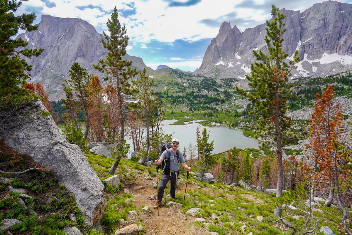
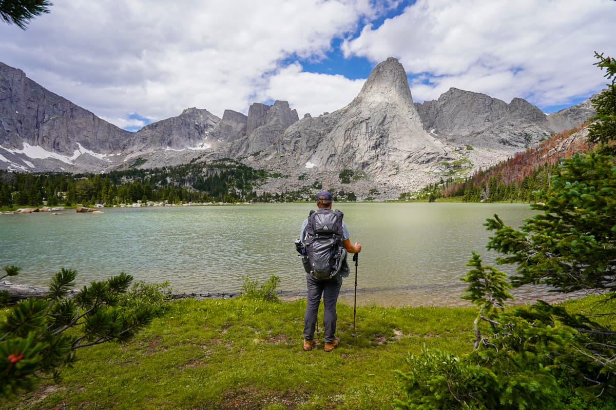
Shadow Lake itself is ABSOLUTELY stunning, with a huge pool of turquoise waters sitting in the shadow of dramatic granite spires, towering above.
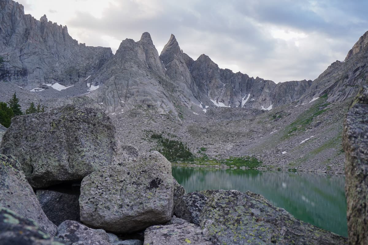
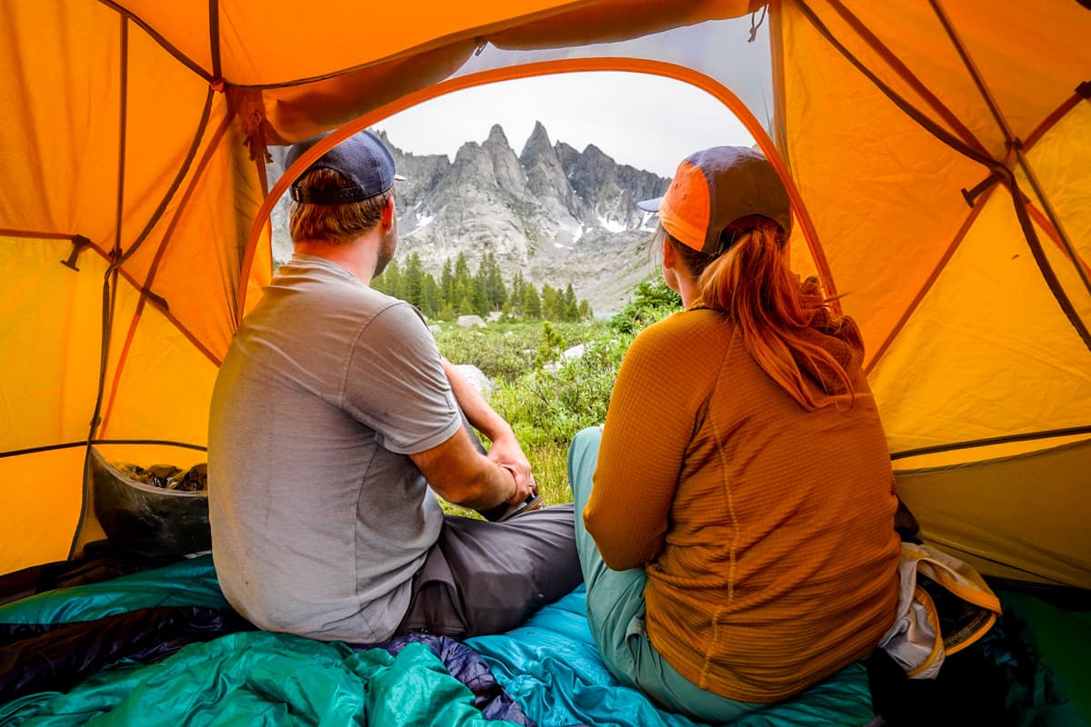
Most people camp on their first night around Shadow Lake. There are several campsites along the Shadow Lake Trail, as well as tucked amongst the trees along the lake’s northern coastline. We found a campsite near the trail that had spectacular views of the lake and the surrounding mountains—it was (and probably always will be!) one of the coolest campsites we’ve ever stayed in.
I mentioned it above, but it bears mentioning again—Shadow Lake is the MOST buggy spot along the trail, so come prepared with some bugspray and an adventurous attitude.
Shadow Lake to Lonesome Lake
- Length: 3.6 miles
- Elevation gain: 1120 feet
Assuming you camp here for the night, you’ll pack up your stuff and continue along the Shadow Lake Trail, which skirts along its northern shoreline and climbs through a dense forest.
You’ll meet back up with the “normal” Cirque of the Towers trail on the western edge of Billy’s Lake, about half a mile later. This area was BEAUTIFUL and I think offers a great alternative to camping at Shadow Lake, given that it has lots of wide, grassy fields; is a LOT less buggy; and shaves off a bit of mileage for your second day on the trail.
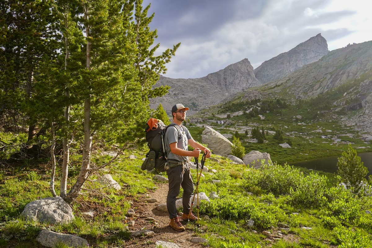
From here, it’s a gradual uphill climb along the shorelines of two more lakes as you approach the most challenging part of the Cirque of the Towers, Texas Pass, which ascends about 700 feet in just 0.3 miles.
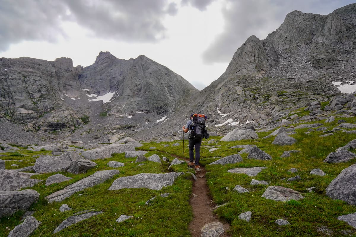
There’s no official trail here, with a choose-your-own-adventure climb up a VERY steep slope. The right hand side of the hill has bigger boulders, whereas the left hand side is mostly loose scree. We opted to go up the more scree-y side, but if scrambling on boulder fields is more your jam, go for it!
After reading lots of AllTrails reviews about how tough Texas Pass was, I was EXTREMELY nervous about climbing it. While it was a thigh burner and I was definitely glad to have trekking poles with me, I really didn’t think it was too terribly bad or technical—so don’t let other people’s intense reviews scare you about it!
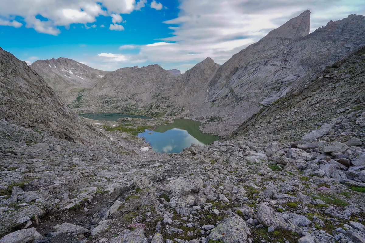
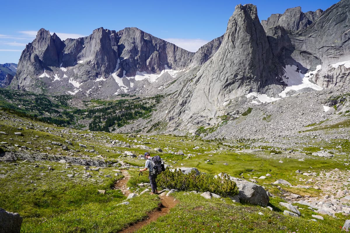
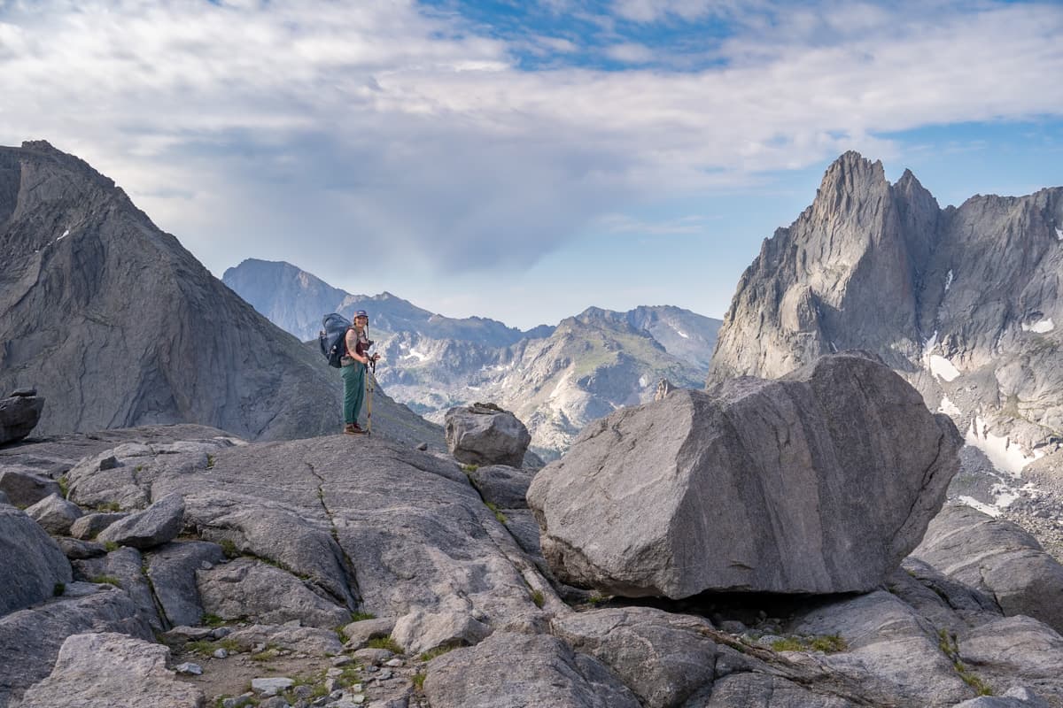
At the top of the pass, the trail flattens out. After scrambling across a large boulder field that sprawls across the pass, you’ll be rewarded with your first epic glimpses of the Cirque of the Towers, including the enormous granite spire of Pingora Peak and the rugged monolith of the Warrior II peak.
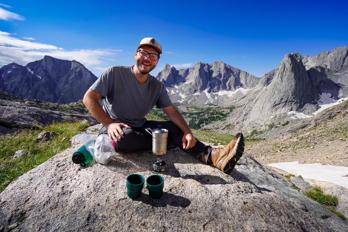
The view was SO incredible that we decided to stop to make coffee on one of the rocky outcroppings overlooking the Cirque to drink in the views—and some extra caffeine!
From here, the trail climbs steeply down towards the turquoise waters of Lonesome Lake, through seemingly endless fields of wildflowers and a portion of forest that has been badly burned by wildfires. This section of the trail, through the wildfire wreckage, was very steep and crumbly (I may have fallen pretty hard on my butt here!), so I’d definitely suggest using trekking poles and making your way downhill carefully.
Also, remember to stop and take in the views of the Cirque, off to your righthand side, here—they’re absolutely incredible!
Lonesome Lake to Big Sandy Lake
- Length: 4.3 miles
- Elevation gain: 739 feet
Once you reach the shores of Lonesome Lake, you can either head around the west side of the lake (as is suggested by the AllTrails trail map) along the Cirque of the Towers Trail, which requires scrambling along a boulderfield, or around the eastern side along the North Fork Trail, which continues through a forest.
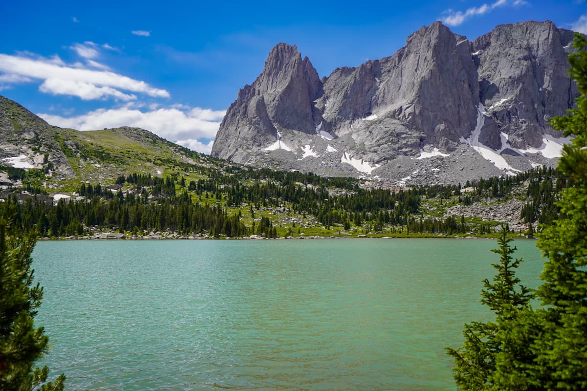
Both of these options are about the same length (around 1.4 miles), before climbing up to Jackass Pass.
We aren’t crazy about boulder scrambling, especially with heavy packs on, so we opted to go on the eastern side of the trail. The trail was a bit boggy and hard to follow in some areas, but offered some beautiful views of Lonesome Lake (plus, no boulders!).
From here, your last significant climb on the entire trail is up to Jackass Pass, which climbs 600 feet in 0.6 miles. Unlike the climb to Texas Pass, it’s just along dirt switchbacks carved into the mountain—so a walk in the park, in comparison!
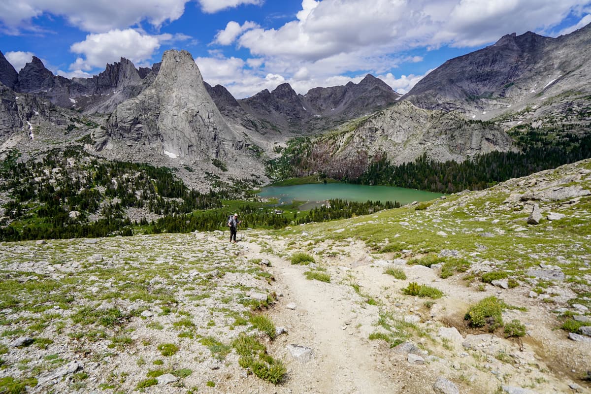
At the top of Jackass Pass, be sure to turn around and take one last look at the Cirque of the Towers—it’s one of the best views along the trail!
On the other side of Jackass Pass, you’ll climb steeply downhill towards Arrowhead Lake, with yet another jagged mountain peak towering above it.
Here (around 15.8 miles into the hike), you can again choose which way to go, either around the western side of the lake, requiring you to scramble along another boulder field, or the east side of the lake, which climbs up and down a rocky slope.
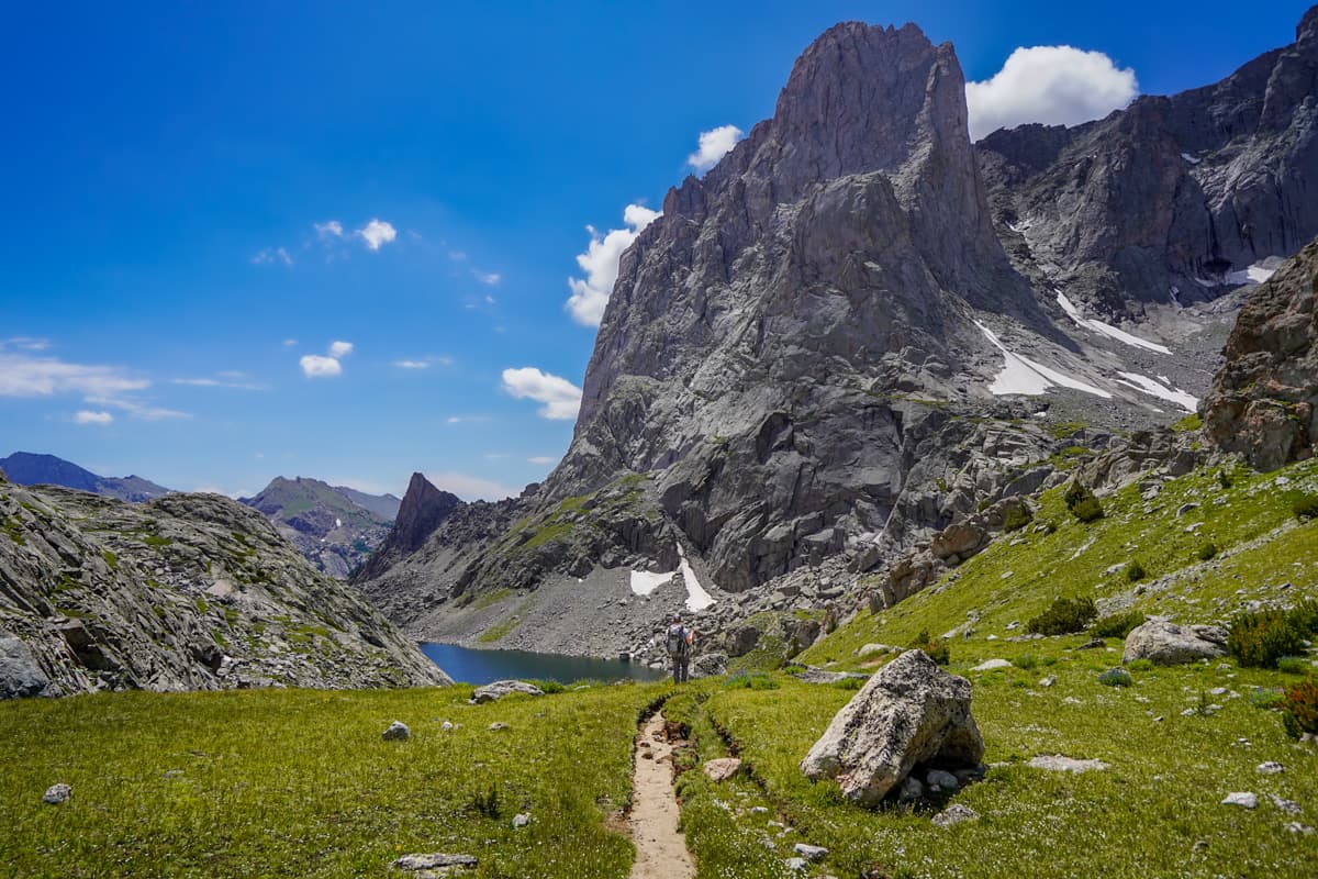
We opted to also take the eastern route here to avoid the boulder field. We were not excited for any more elevation gain, but it was only about 150 feet of climbing, with limited scrambling required.
After this rocky section, it’s a pretty gradual climb downhill, through a mix of forested sections, meadows, and smaller lakes, to reach Big Sandy Lake.
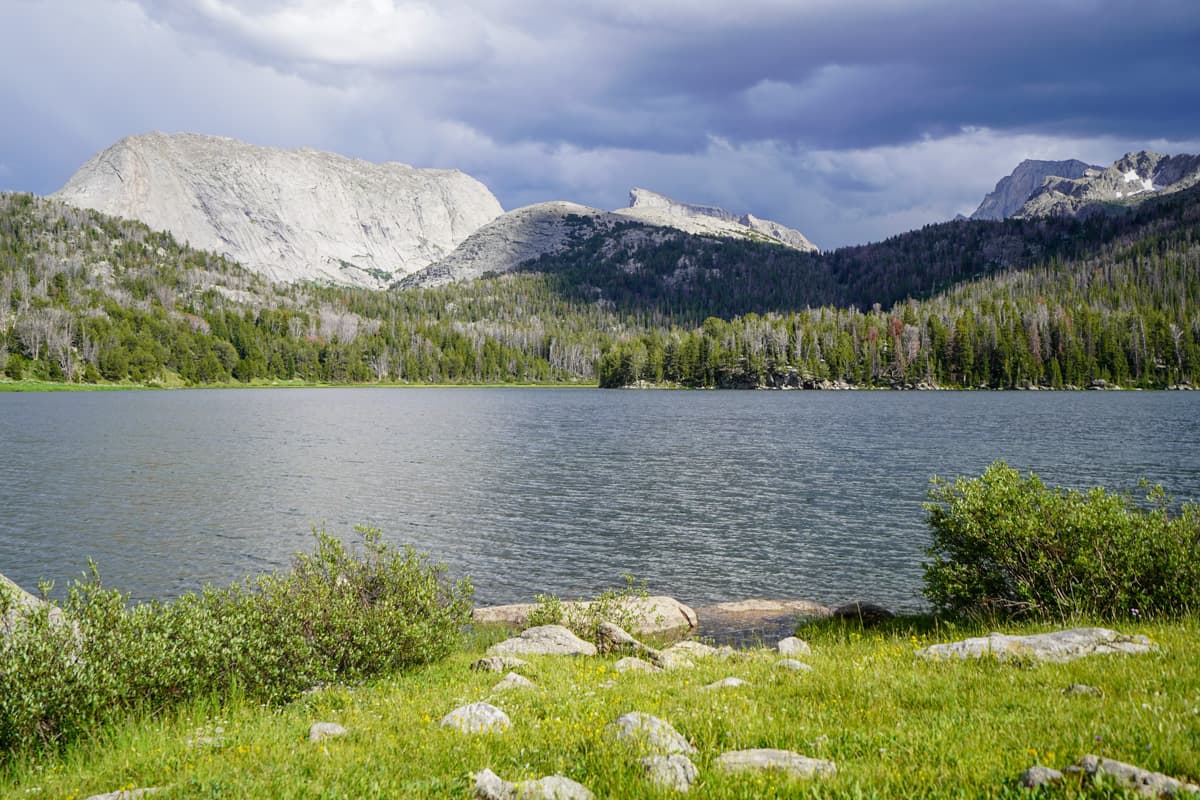
We opted to hike this trail in two days, instead of three, but Big Sandy Lake seemed to be a VERY popular place to camp the second night on the trail. We also met several people who were using Big Sandy Lake as a basecamp of sorts to do day hikes to Cirque of the Towers, as well as other lakes in the surrounding area.
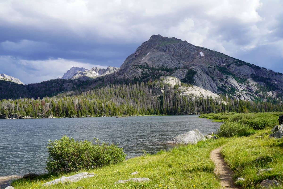
There are TONS of campsites available here, both along the lake’s eastern edge (along the Black Joe Trail) and its western edge, along the Big Sandy Trail.
Big Sandy Lake to the trailhead
- Length: 5.5 miles
- Elevation gain: 24 feet
From Big Sandy Lake, the trail is either sloping gently downhill or flat, winding through the forest and along the Big Sandy River.
As mentioned above, this was the second buggiest spot on the trail and, between our aching feet and the limited mountain views along this part of the trail, we just kind of hoofed it back to our car.
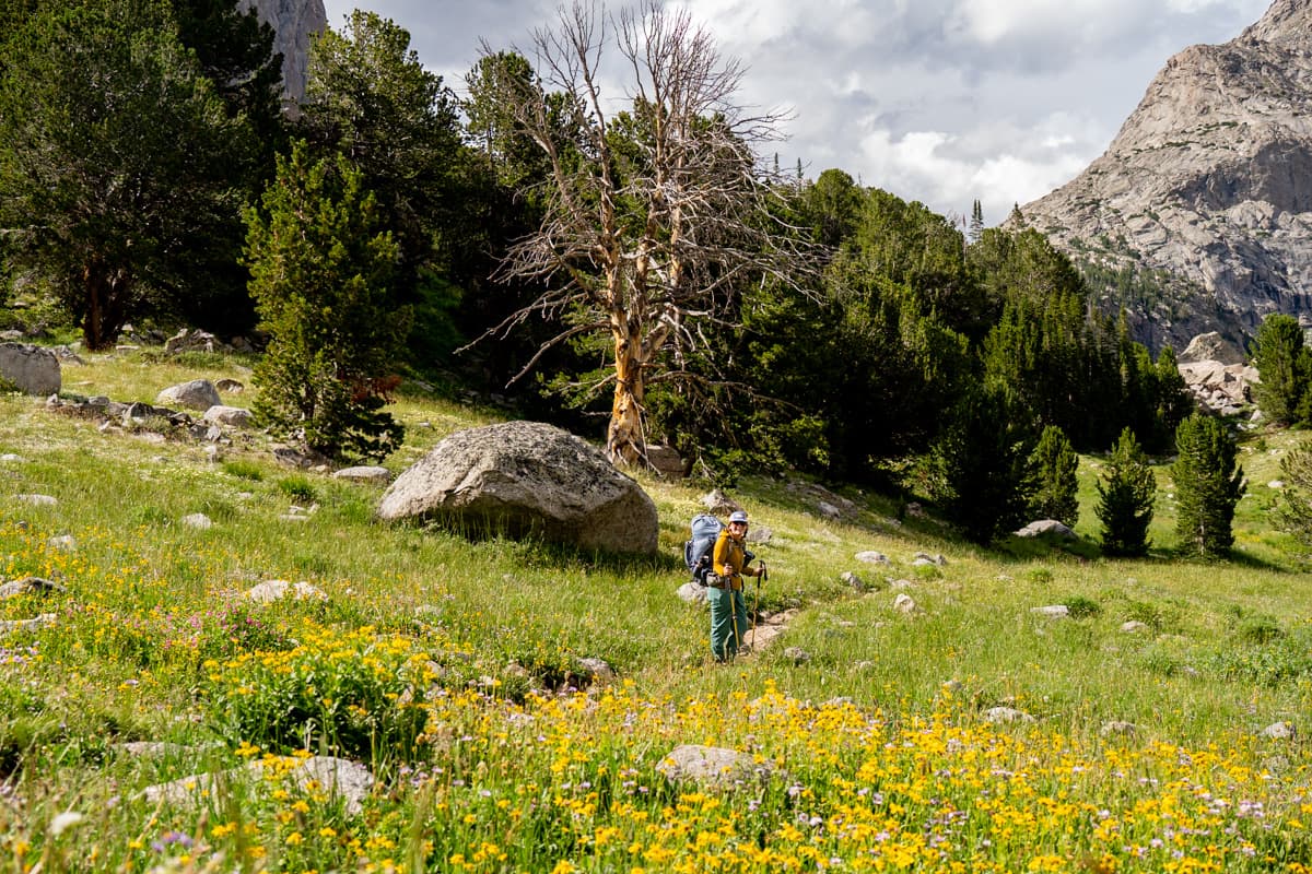
Once you reach the trailhead, rejoice—you just completed one of the coolest hiking experiences in the United States!
Cirque of the Tower Itineraries
Here’s how I’d suggest breaking up your hike, depending on how many days you have.
1 day
Theoretically, you can do the entire Cirque of the Towers loop in one day, if you’re an experienced trail runner (we met a handful!).
Otherwise, I would definitely not recommend trying to tackle this trail in just one day.
2 days, 1 night
I think there are two options that you can consider with this route:
First option (hiking it as an out-and-back trail, clockwise from the trailhead)
- Day 1 (9.2 miles): Hike to and camp around Lonesome Lake (keeping in mind that you can’t camp within a quarter mile of its shores)
- Day 2 (9.2 miles): Hike back to the trailhead
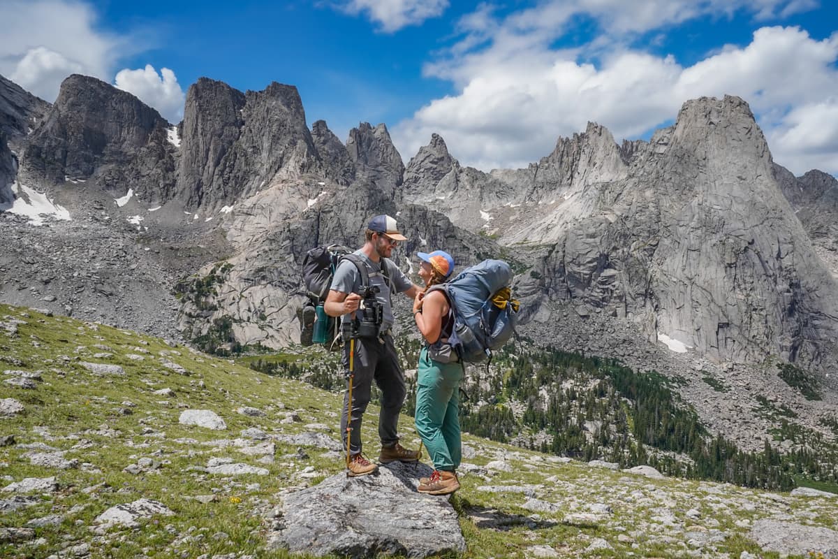
This option completely cuts out the western half of the trail, but you’ll still hit most of the main highlights along the trail (i.e., the frontside of the Cirque of the Towers!).
Second option
- Day 1 (11 miles): Hike from the trailhead (clockwise) and camp at Shadow Lake
- Day 2 (12.8 miles): Hike back to the trailhead
This is the exact route that we choose to do!
3 days, 2 nights
- Day 1 (11 miles): Hike from the trailhead (clockwise) and camp at Shadow Lake
- Day 2 (7.3 miles): Hike to and camp at Big Sandy Lake
- Day 3 (5.5 miles): Hike back to the trailhead
4 days, 3 nights
- Day 1 (7 miles): Hike from the trailhead (clockwise) to Marns Lake
- Day 2 (4 miles): Hike to and camp at Shadow Lake
- Day 3 (7.3 miles): Hike to and camp at Big Sandy Lake
- Day 4 (5.5 miles): Hike back to the trailhead
What to pack for the Cirque of the Towers
Offline map
As mentioned above, the trail is REALLY poorly marked and has a zillion unmarked offshoots.
It would be extremely dangerous to hike this trail without having an appropriate offline map, like the one available on AllTrails.
Trekking poles
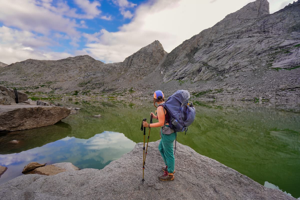
Given the steep sections along the trail, plus the fact that you’re carrying heavy packs, trekking poles definitely come in handy!
Water filter and refillable water bottle
One of the things we loved about this trail was how many water sources there were—no need to carry around a ton of water! Just bring along your water filter, plus your refillable water bottle, and filter as you go!
Bugspray
We honestly didn’t have too much trouble with bugs along most of the trail, but they were UNRELENTING at Shadow Lake and from Big Sandy Lake back to the trailhead.
Sun protection
A decent amount of the trail is exposed to the trail, so bringing along sunscreen, a hat, and sunglasses are a must!
Bear canister
As mentioned above, you need to pack all items that smell in a bear-resistant container, given that you’re camping in bear country. We’ve had this one and it’s worked great so far!
Bear spray
Just in case!
Hiking boots
Between the length and uneven, rocky terrain you encounter along this trail, you absolutely should be wearing proper, waterproof hiking boots. Justin has this pair and I have this pair.
Hiking sandals
We’d suggest bringing along hiking sandals, like this pair that Justin uses or this pair that I use, for the crossing of the Washakie Creek and to wear around our campsite at night (is there anything better than taking off your hiking boots at the end of a long day?).
Microspikes
The Cirque of the Towers often has snow along the trail through late July and may start getting new accumulation by mid-September.
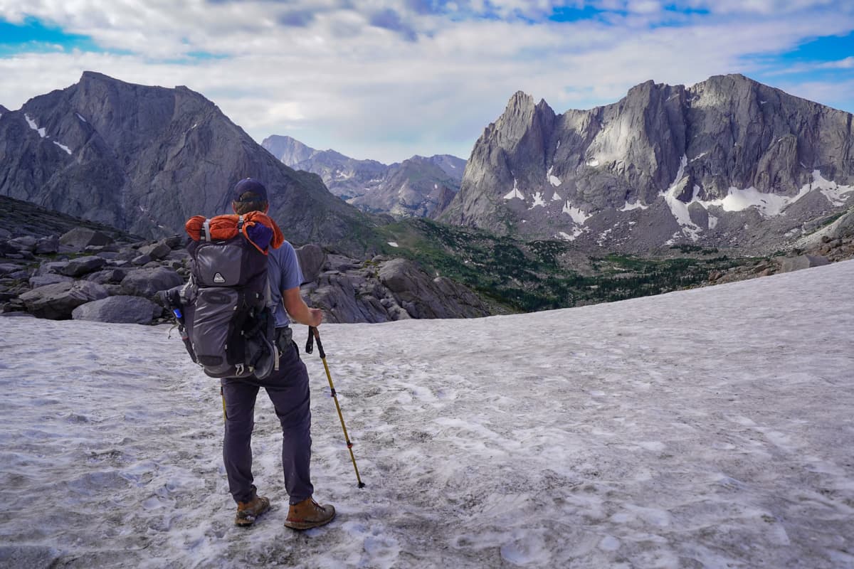
Regardless of the time of year, I’d recommend throwing a pair of microspikes in your backpack, just in case. Texas Pass tends to be the snowiest part of the trail (there was still snow some here when we hiked here in late July) and it can be extremely dangerous when there’s snow or ice on its steep slopes.
Satellite communicator
There’s no cell service here, so if you’re injured or get lost, you’re kind of out of luck. It’s never a bad idea to have a satellite communication device on hand, just in case.
Swimsuit
This one is definitely optional, but lots of campers seemed to enjoy taking a dip in Big Sandy Lake to end Day 2 of their hike!
Backpacking gear
I saved this one for last because, if you’ve been backpacking before, you probably know what gear you need to pack along! If not, here’s our backcountry camping checklist:
- Backpacks (his and hers)
- Sleeping bag
- Sleeping pad
- Inflatable pillow
- Tent and footprint
- Burner
- Fuel
- Lighter
- Shelf-stable food, like this option or this option
- Cook kit
- Camping sporks
- Powdered coffee (if you’re a coffee lover, like us!)
- Poop kit (i.e., backpacking trowel, toilet paper, and plastic baggies to carry out your waste, including your used toilet paper)
- Battery pack and charging cables for your phone, headlamp, or any other electronics
- Headlamp
When to hike the Cirque of the Towers
The best time to hike the Cirque of the Towers is from mid-July to mid-September, when the trail is mostly snow- and ice-free. We hiked the trail in late July and it was absolutely perfect—pleasantly warm temperatures, fields of blooming wildflowers, and barely any snow on the trail.
Outside of this window, hiking the Cirque of the Towers becomes much more dangerous, with tons of avalanche chutes and steep passes that would become treacherous when icy. Additionally, the road to the Big Sandy trailhead is not maintained in the wintertime, so it’s usually impassable, due to snow, from around mid-October through early May.
There you have it—everything you need to know to plan an incredible trip to the Cirque of the Towers. Do you have any questions about planning a hiking or camping trip here? Let us know in the comments below!
Thank you for reading our post! Check out our latest stories here and follow us on Instagram (@JustinAndJess_), YouTube, TikTok, or on Facebook to see what we’re up to next!
