

The Tour du Mont Blanc is Europe’s most popular multi-day trek, looping 105 miles through the Alps of Italy, Switzerland, and France. Along the way, you’ll pass fairytale villages, epic alpine scenery, and lots of cute sheep, complete with traditional cowbells.
Sounds like a dream? It is! But the Tour du Mont Blanc can also be seriously confusing to plan, with competitive refuge reservations, ambiguous “stages”, and seemingly unlimited itinerary options.
My husband, Justin, and I just completed the Tour du Mont Blanc and have first hand experience of completing the entire trek, from the planning stages to taking the final steps on the trail. So, if you want to have this once-in-a-lifetime adventure for yourself, here’s everything you need to know to plan your very own Tour du Mont Blanc itinerary.
This post may contain affiliate links. If you make a purchase through them, we may receive a small commission, for which we are extremely grateful, at no extra cost to you.
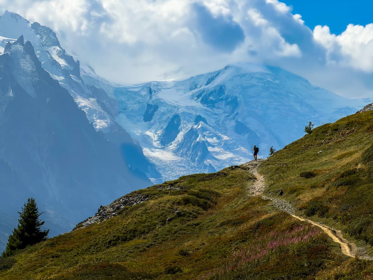

What is the Tour du Mont Blanc?
The Tour du Mont (also referred to as the “TMB”) is a multi-day trek that loops through France, Italy, and Switzerland around the Mont Blanc massif, which, at 4,805 meters, is the tallest mountain in the European Union. You can start and end the hike anywhere along the trail, but most people, including us, started and ended in the small town of Les Houches, France, right next to the popular resort town of Chamonix, France.
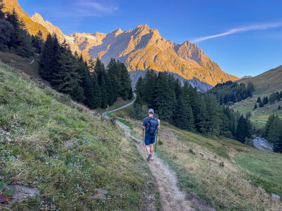
Here are some quick stats about the hike:
- Length: 171 kilometers
- Elevation gain: 10,493 meters
- Difficulty: Hard
- Trail map
The trail is traditionally hiked in 11 days (which does not include a rest day), which correspond with 11 “stages”. These stages basically represent the traditional starting and ending points for each day of the hike, which are typically small villages or mountain refuges—but more on that below!
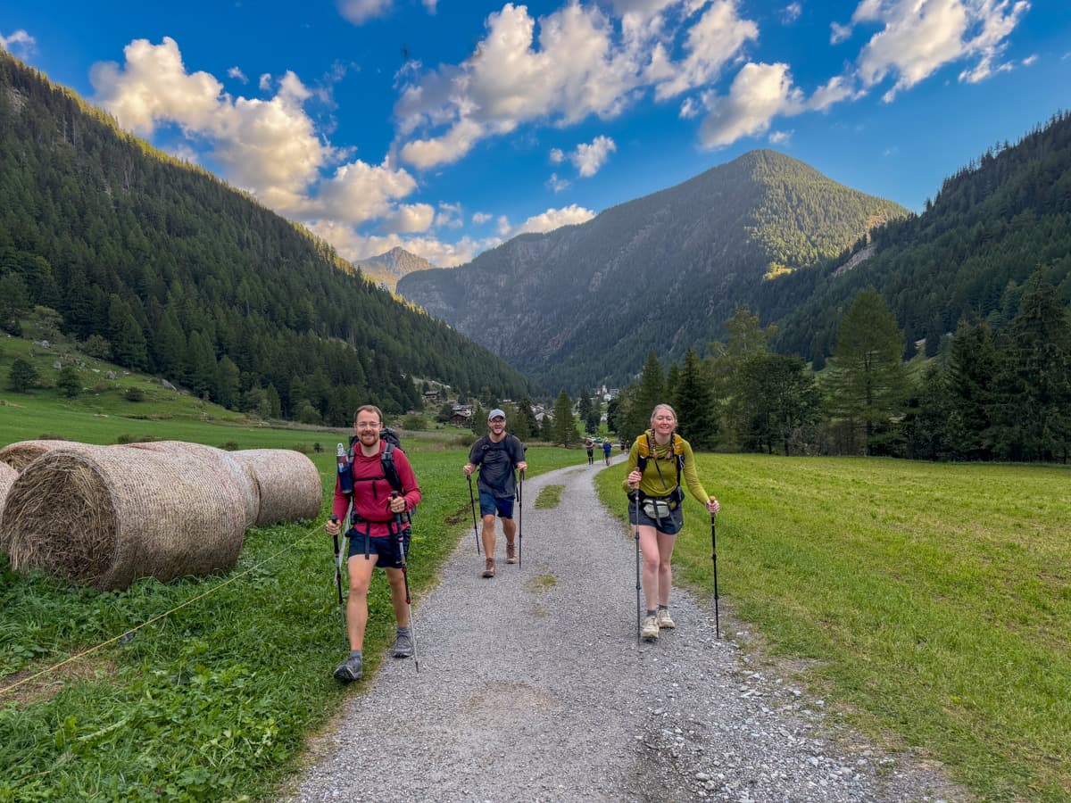
However, there are tons of different ways that you can hike the trail if you have more or less time or want to adjust the trek a bit, based on your abilities. For example, we did the trail in 10 days, combining the last two traditional stages of the trek into a longer mileage hike on our last day.
Where do you stay during the Tour du Mont Blanc?
When you’re hiking the Tour du Mont Blanc, you have two options of where to stay along the trail.
Hut-to-hut
The most popular way to hike the Tour du Mont Blanc is hut-to-hut, staying at mountain refuges, hotels, gîtes d’étape, or auberges along the way. This is, by far, the most popular way to hike the Tour du Mont Blanc, with an estimated 90% of hikers choosing to stay in huts.
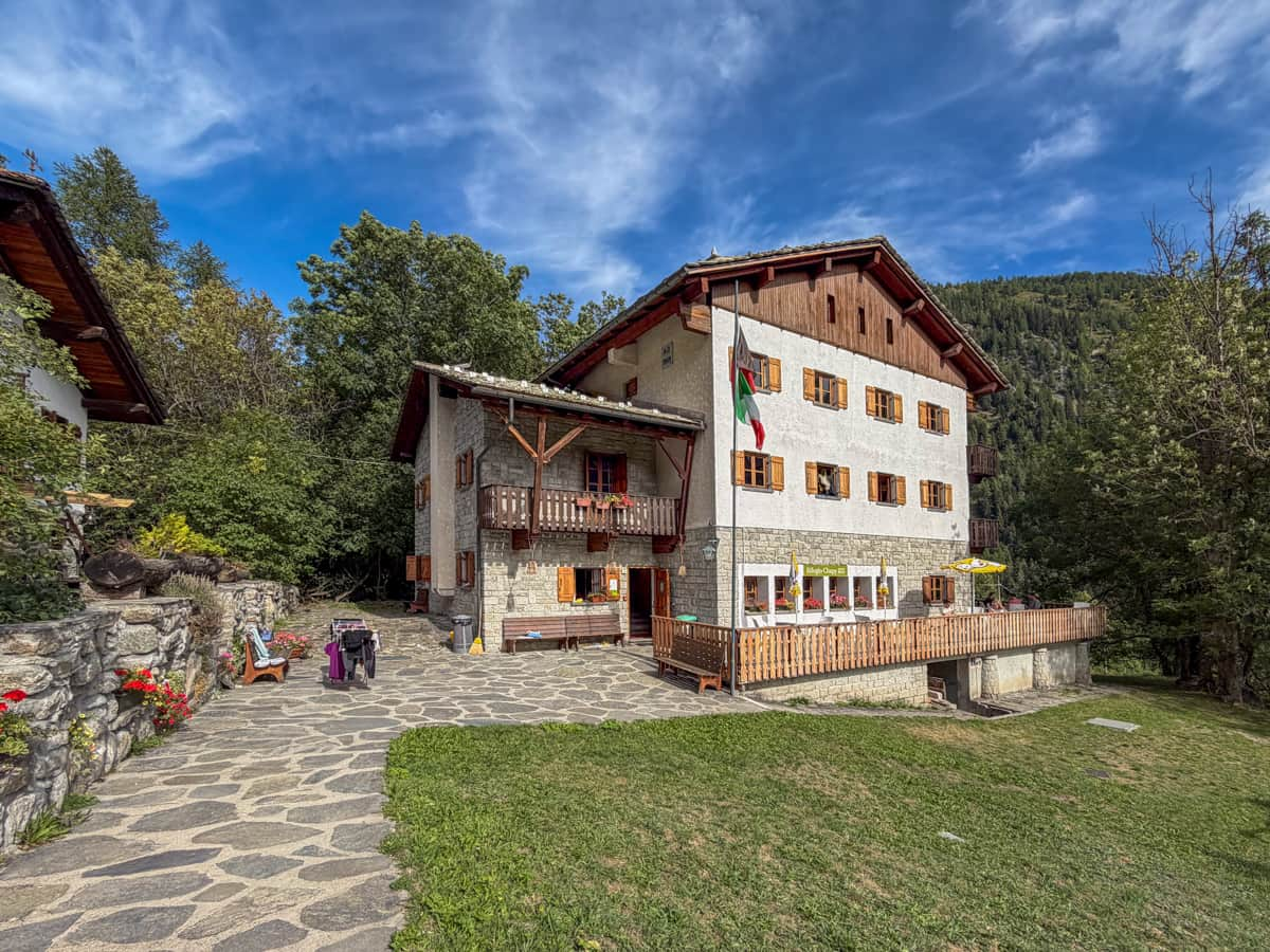
In my opinion, there are a LOT of positives to hiking the TMB hut-to-hut—you don’t have to carry heavy camping gear and you get all the benefits of staying in a refuge, like a comfy bed, hot showers, and tasty meals (and cold beer!) at the end of each day.
The largest downside is that it’s significantly more expensive than camping. An average campground along the TMB costs about €13 per person per night, whereas we paid an average of €76 for a private room and half board (i.e., dinner and breakfast) at each of our refuges.
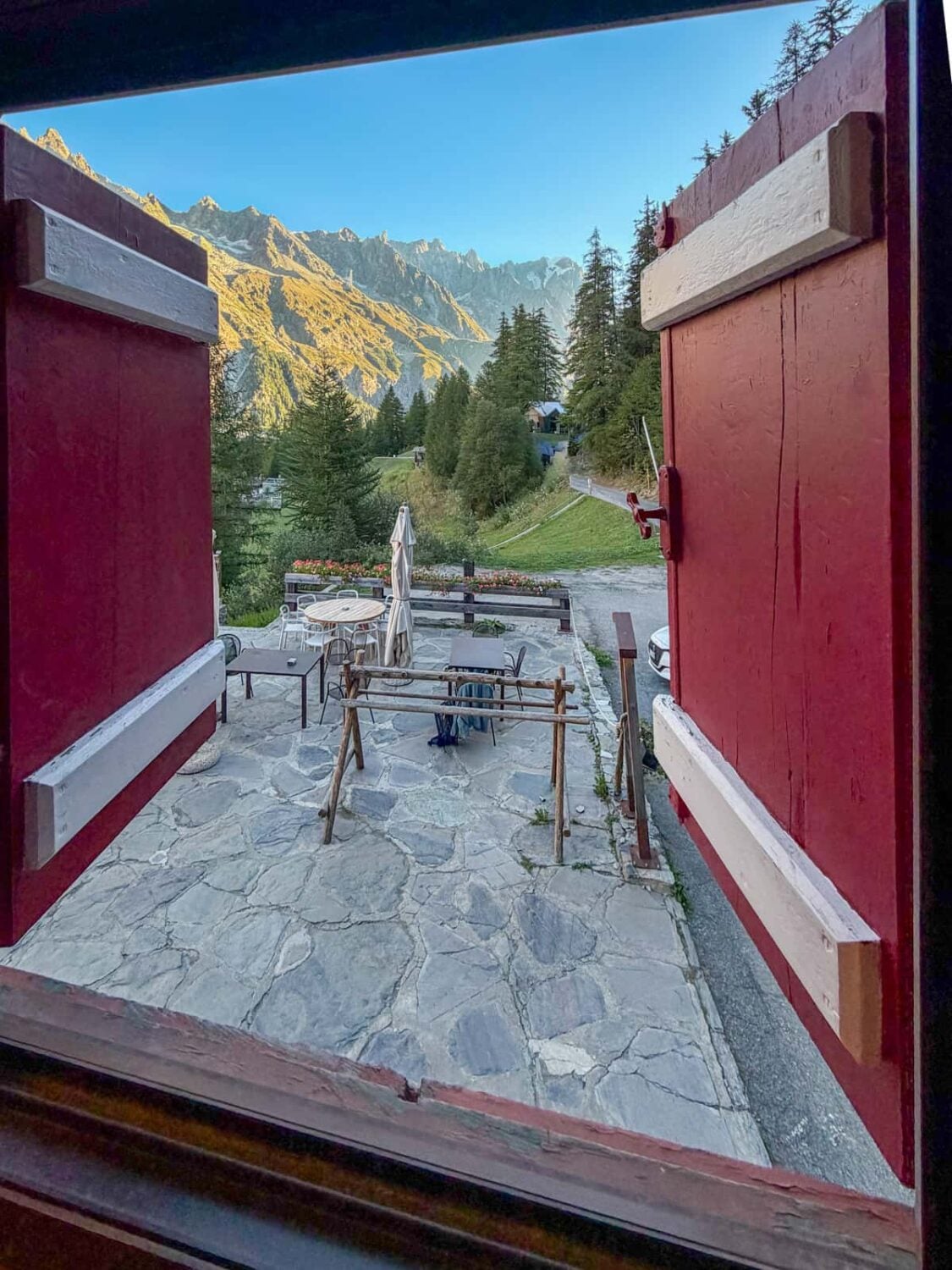
Additionally, due to the growing popularity of the Tour du Mont Blanc, getting reservations at the huts have become quite competitive, requiring people to secure reservations almost a year in advance of your hike (for more information on the booking process, check out the How to Book Refuges for Your Tour du Mont Blanc Itinerary section below).
Due to the competitiveness of reserving accommodations along the trail, I am going to list two to three options for mountain huts or hotels for each day, in case some of the options are unavailable on your desired dates.
It’s REALLY important to be flexible and open-minded when planning your Tour du Mont Blanc itinerary.
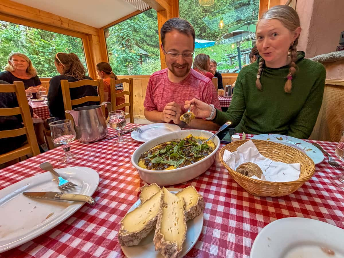
There are some portions of the trail that have extremely limited refuges, like Stage 3 and Stage 5. Accordingly, there may be days where the traditional TMB route is supposed to be 16 km, when you’ll actually need to hike 24 km (or longer!), due to what accommodations are available. It’s all part of the adventure!
Camping
Alternatively, you can camp.
Typically, you will need to camp in established campgrounds along the trail. There are a few limited areas where wild camping has historically been allowed (in a handful of places in France, outside of protected reserves), but there is a significant push to completely prohibit wild camping along the trail, starting in 2027.
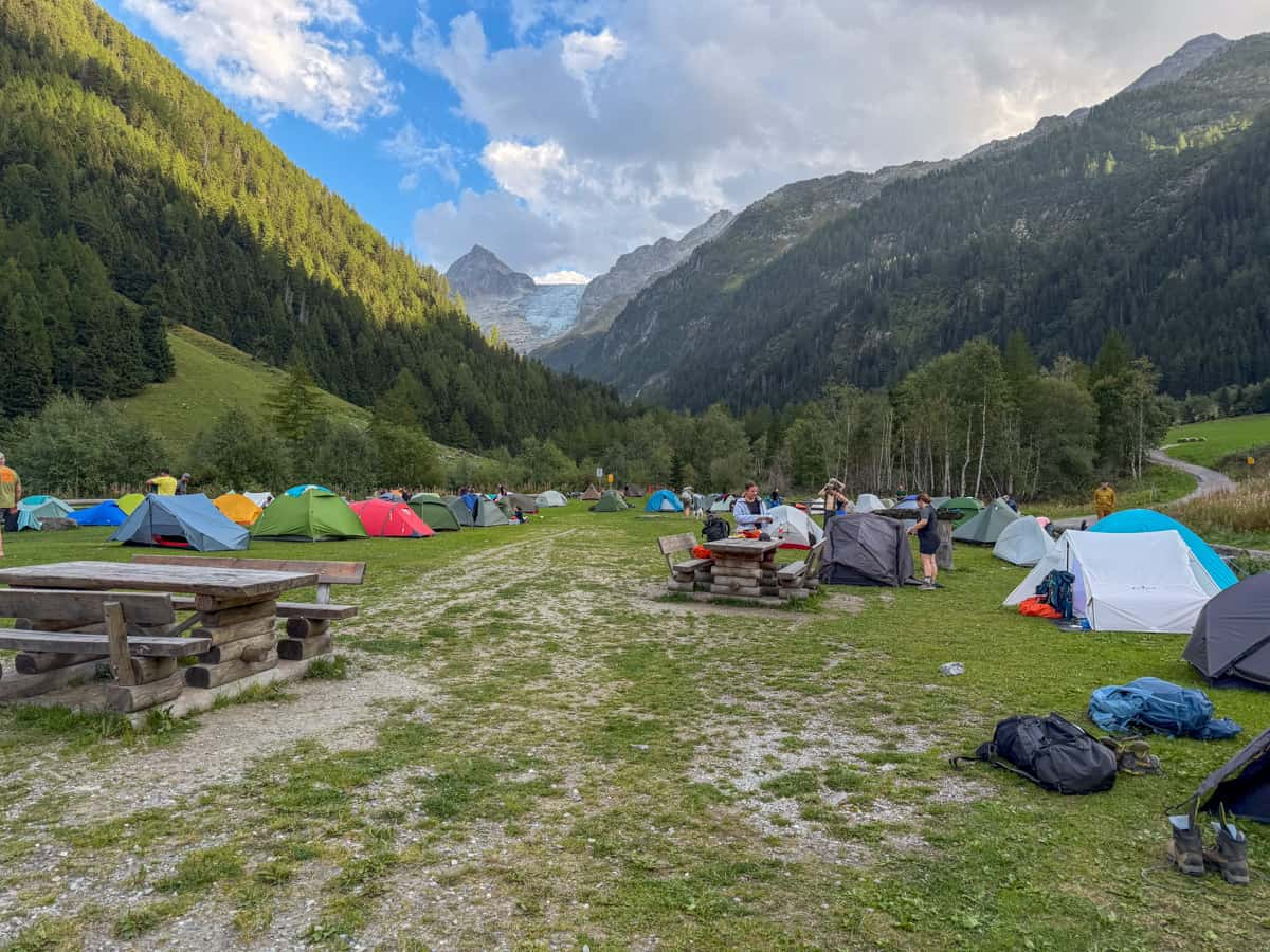
Camping absolutely has some benefits. It’s much cheaper than hiking the trail hut-to-hut and it can feel like a more authentic backpacking adventure.
Plus, you historically have not had to make reservations for campgrounds, meaning you had more flexibility in where you hiked and stayed every day. However, like the pending prohibition on wild camping, there’s also a push to require that campers prebook their campgrounds around their route, starting in 2027.
Tour du Mont Blanc Itinerary
Before we get into the nuts and bolts of planning your Tour du Mont Blanc itinerary, it’s important to reiterate that there are literally ENDLESS ways to hike the trail.
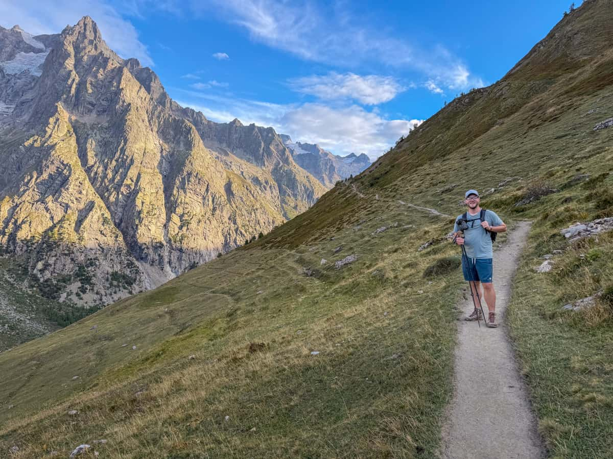
You can start in Chamonix, France or Courmayeur, Italy (or literally, anywhere else along the trail) and, similarly, can end the trail wherever you please. You can also only hike a section of the trail or take more difficult variants, if the traditional route isn’t challenging enough for you.
In this article, we’re going to be highlighting how we specifically hiked the Tour du Mont Blanc, following the most traditional route, including what to expect and where we stayed. Plus, we’ll provide some popular alternative options when they’re available.
Where should you start the Tour du Mont Blanc?
The most common place to start the hike is the small village of Les Houches, France, right next to the much more famous Chamonix.
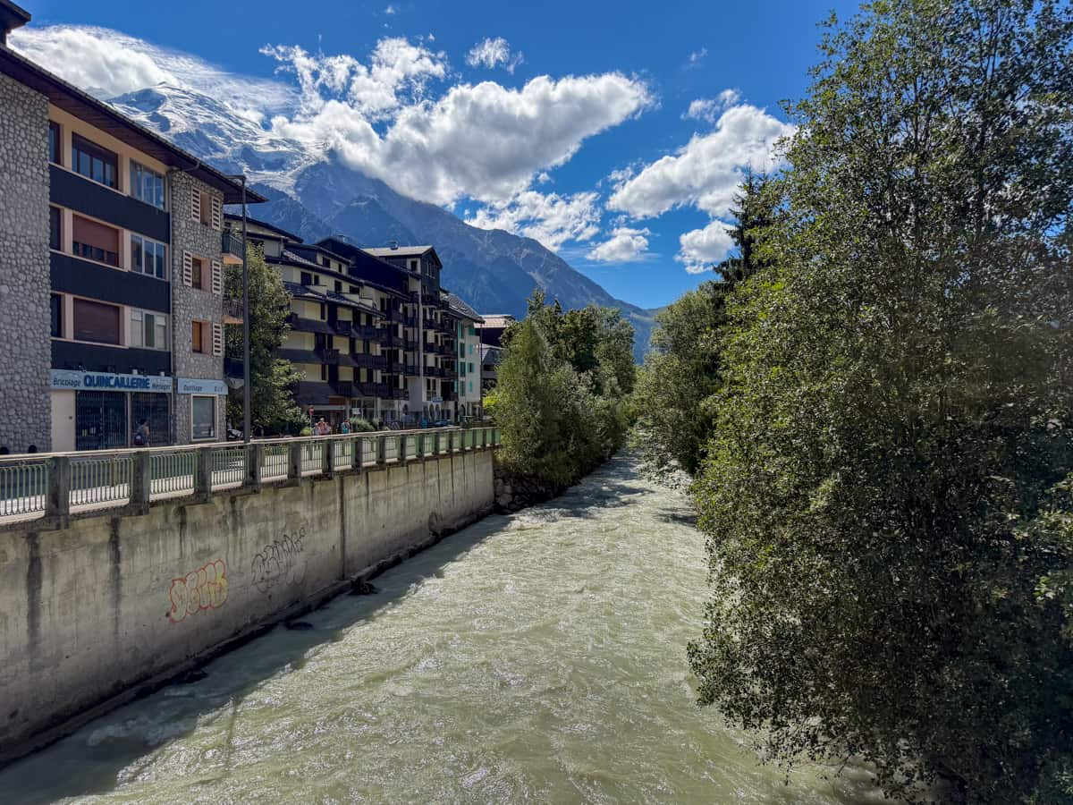
Chamonix is an awesome place to start the Tour du Mont Blanc, given its easily accessible location from the airport in Geneva, Switzerland, a little over an hour away. We used this company to get to and from Chamonix and it was an absolute breeze!
It also has a ton of hotels, restaurants, and outfitters, if you need to pick up any last minute gear.
Plus, Les Houches is the official home of the Tour du Mont Blanc arch, which signifies the traditional starting point of the trek. We walked through this arch at the beginning and end of our hike and it definitely was a cool visual indicator of completing a full loop around Mont Blanc!
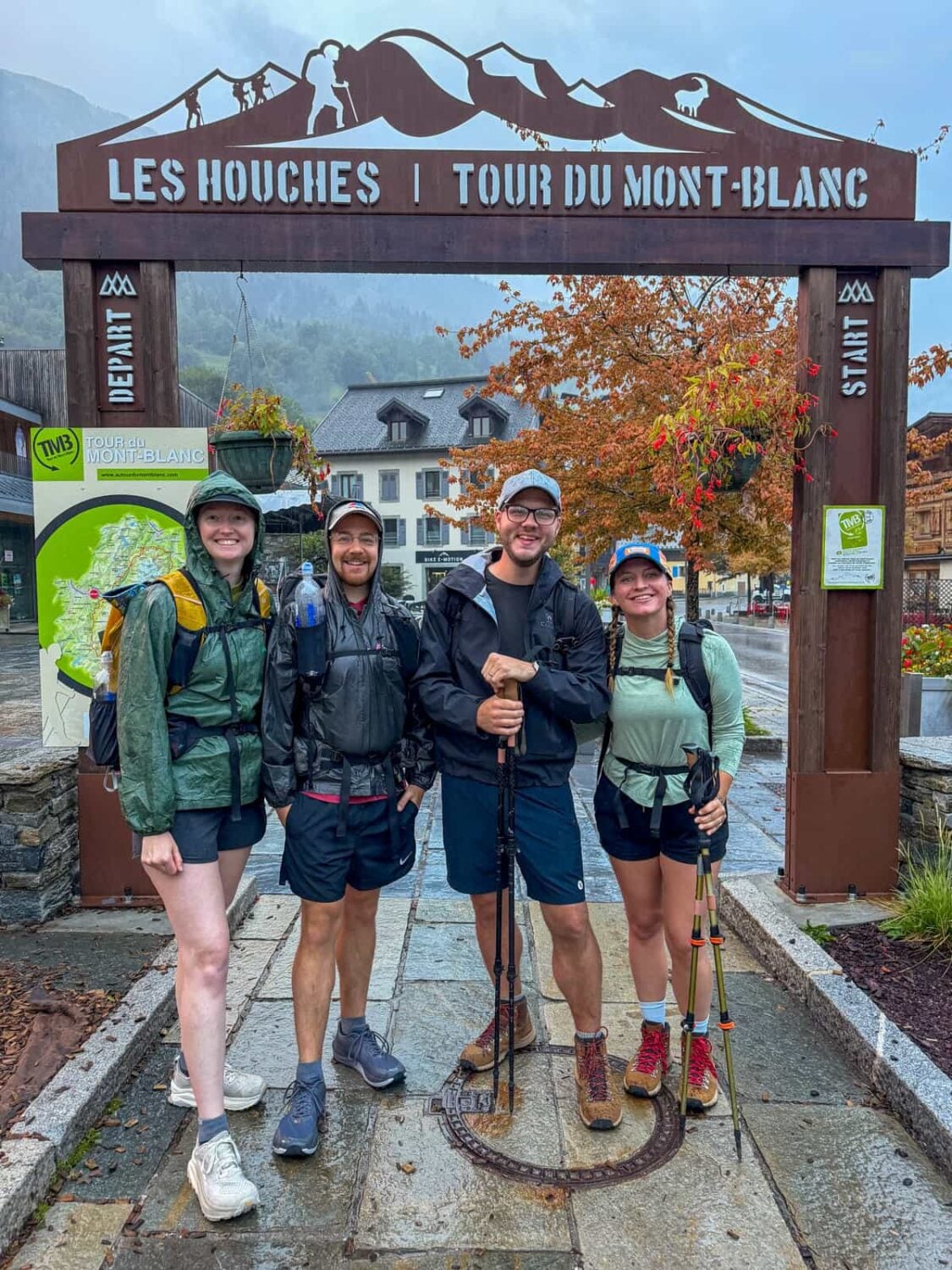
Given its popularity and the fact that this is where we choose to kick off our trek, that’s where the Tour du Mont Blanc itinerary in this article will start and end.
A less popular alternative is Courmayeur, Italy, a small alpine city with lots of hotels and restaurants that serves as the midway point of the traditional trek. It’s also pretty easy to access, given that it’s directly connected to Chamonix with a tunnel through Mont Blanc itself, with several daily buses between the two cities.
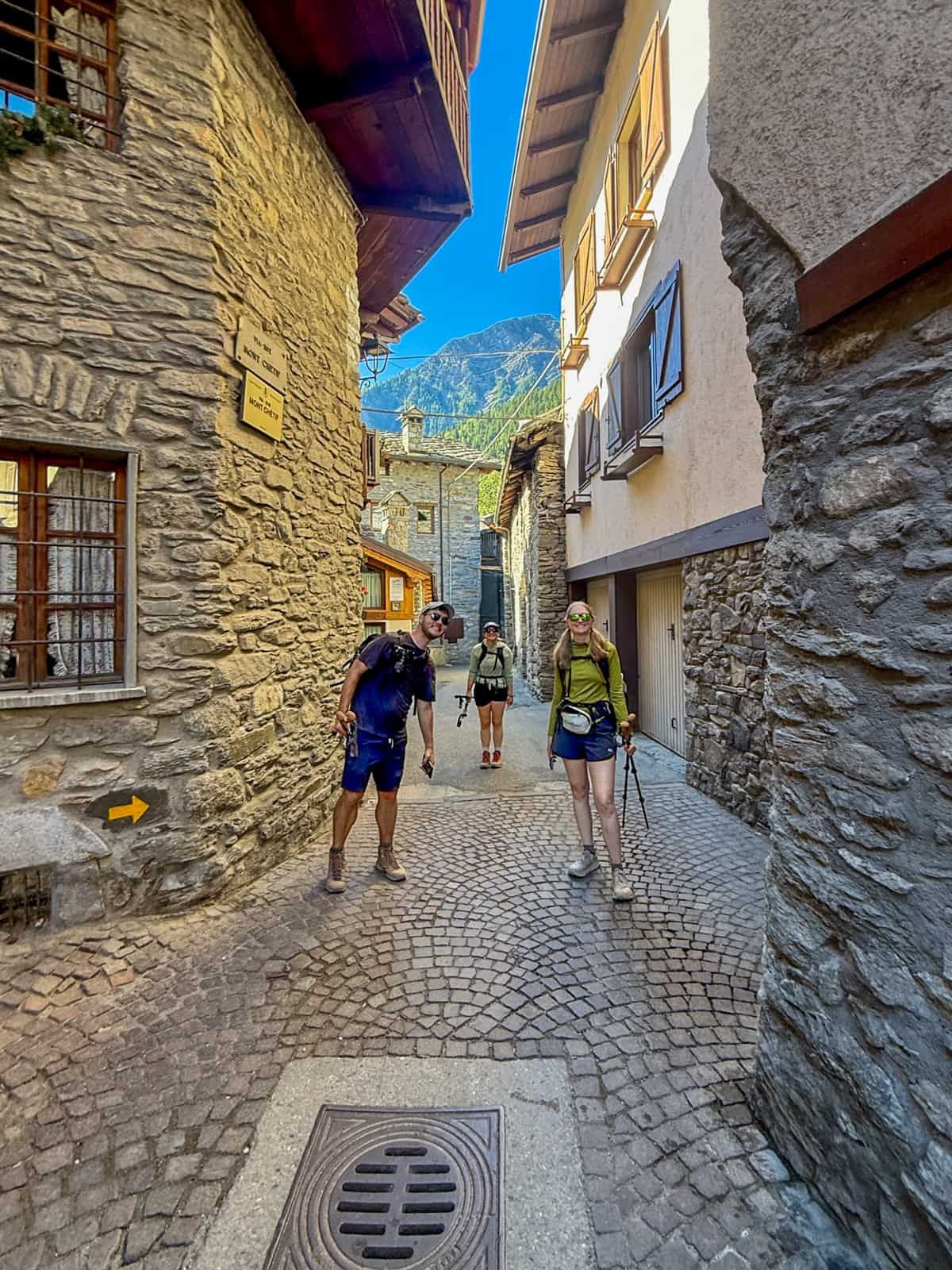
If you’re short on time, many folks choose to hike the 69 km section from Chamonix to Courmayeur and I think this is a solid choice. In my opinion, it’s the most beautiful part of the trail!
Stage 0: Arrive in Chamonix
- Distance: None
- Elevation gain: None
- Trail map: N/A
I’d suggest getting to Chamonix a day or two before you start the Tour du Mont Blanc.
If you’re traveling from abroad, a buffer day at the beginning of your trip is helpful to get your body on the right time zone and to pick up any last minute items, like sunscreen, trekking poles, or a rain jacket, from outfitters in Chamonix.
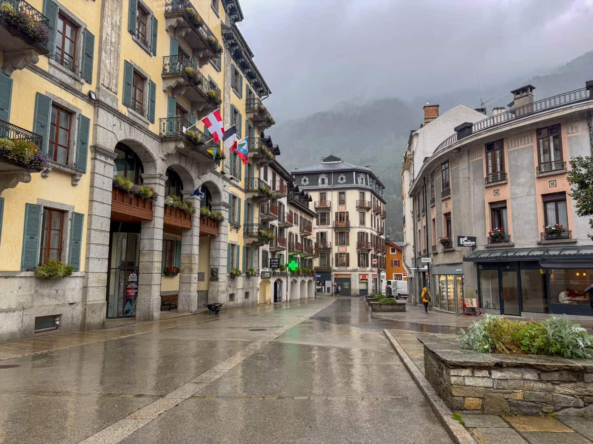
Insider tip: If you’re a carry-on only traveler, like us, and are worried about bringing trekking poles onto the plane, we had a pretty easy time finding some that were left behind by other hikers that we could borrow for free.  Simply go to any of the larger hotels in Chamonix and see if they have any available at the front desk.

We picked both of ours up at the Plan B Hotel, which had a HUGE collection of poles to borrow. Just be sure to return them after you’re done with the TMB to pay it forward to other hikers!!

If you’d prefer to purchase your own trekking poles, we found the cheapest pair in Chamonix at Technique-Extrême, for about €30 per pair.
Where to stay the night
- Option 1: Chalet Hôtel Le Prieuré & Spa in Chamonix, France
Stage 1: Les Houches, France to Les Contamines, France
- Distance: 17.2 km
- Elevation gain: 1,016 meters
- Trail map
If you stayed in Chamonix the night before your hike, hop on one of the local buses and ride about 20 minutes to the official Tour du Mont Blanc starting arch. You can pay via contactless credit card using the ticketing machines on the bus.
Insider tip: If you have extra luggage you need to store while you’re hiking the TMB, be sure to check whether your hotel offers storage. Our hotel offered up to two weeks of storage for just €10 per bag!
Once you pass through the arch, congratulations—you’re officially on the TMB!
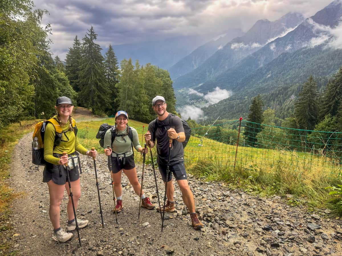
The trail is mostly flat, following along a busy roadway in Les Hourhces, for the first two km. Afterwards, the trail turns sharply left and climbs steeply uphill through a dense forest, along a gravel pathway, for the next 5.6 km.
Since you literally just started the TMB, you might be keen to do this part of the trail yourself, but, if you’re looking to shave off some distance or elevation gain, you can consider taking the Bellevue Cable Car, whose station is about 1.3 km into the trail. The 15-20 minute ride (which typically costs around €18 per person) helps shave off about 7 km and 680 meters of elevation gain.
We elected to hike this portion of the trail. Since you’re hiking in the trees, you don’t really get to see any mountain or village views. So, if you decide to take the cable car, you’re really not missing much!
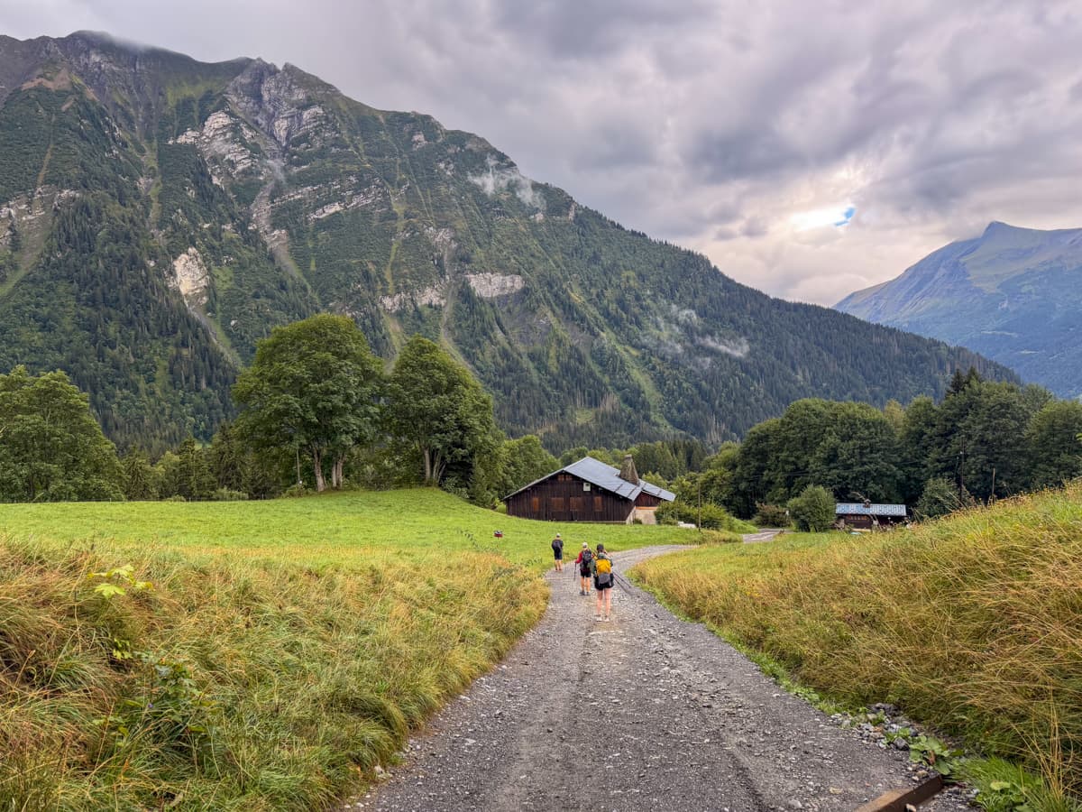
Once you reach the top of your ascent, the views open up a bit more, with views of Les Houches in the valley below and the surrounding Alps.
The rest of the day is spent walking downhill, primarily through small hamlets with adorable French alpine chalets and buildings.
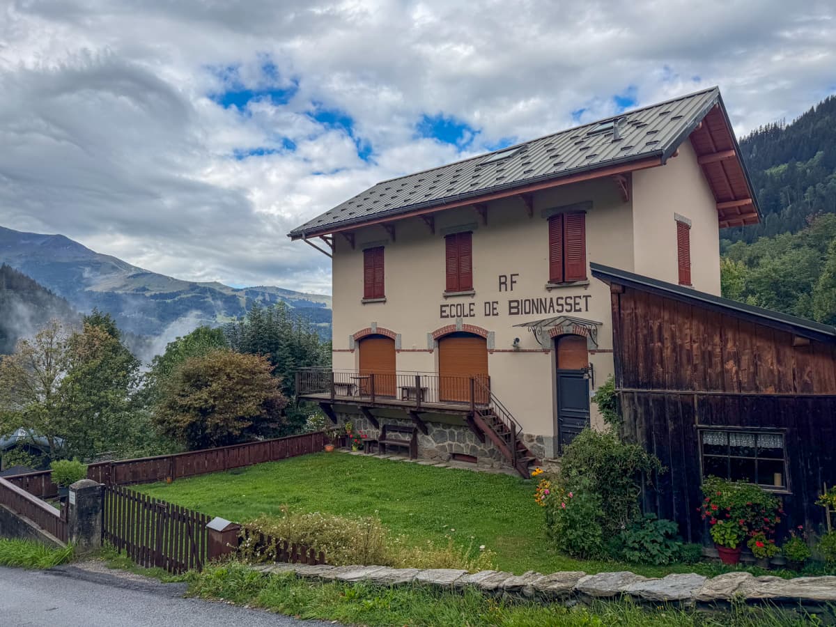
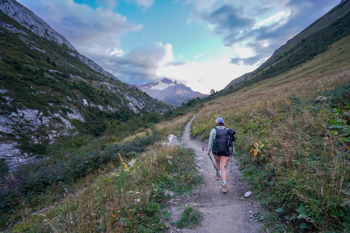
Out of all of the days on the TMB, Stage 1 was one of the least impressive, in terms of mountain scenery. However, we still enjoyed hiking through the fairytale villages and through rolling pastures, with cute cows and sheep grazing away.
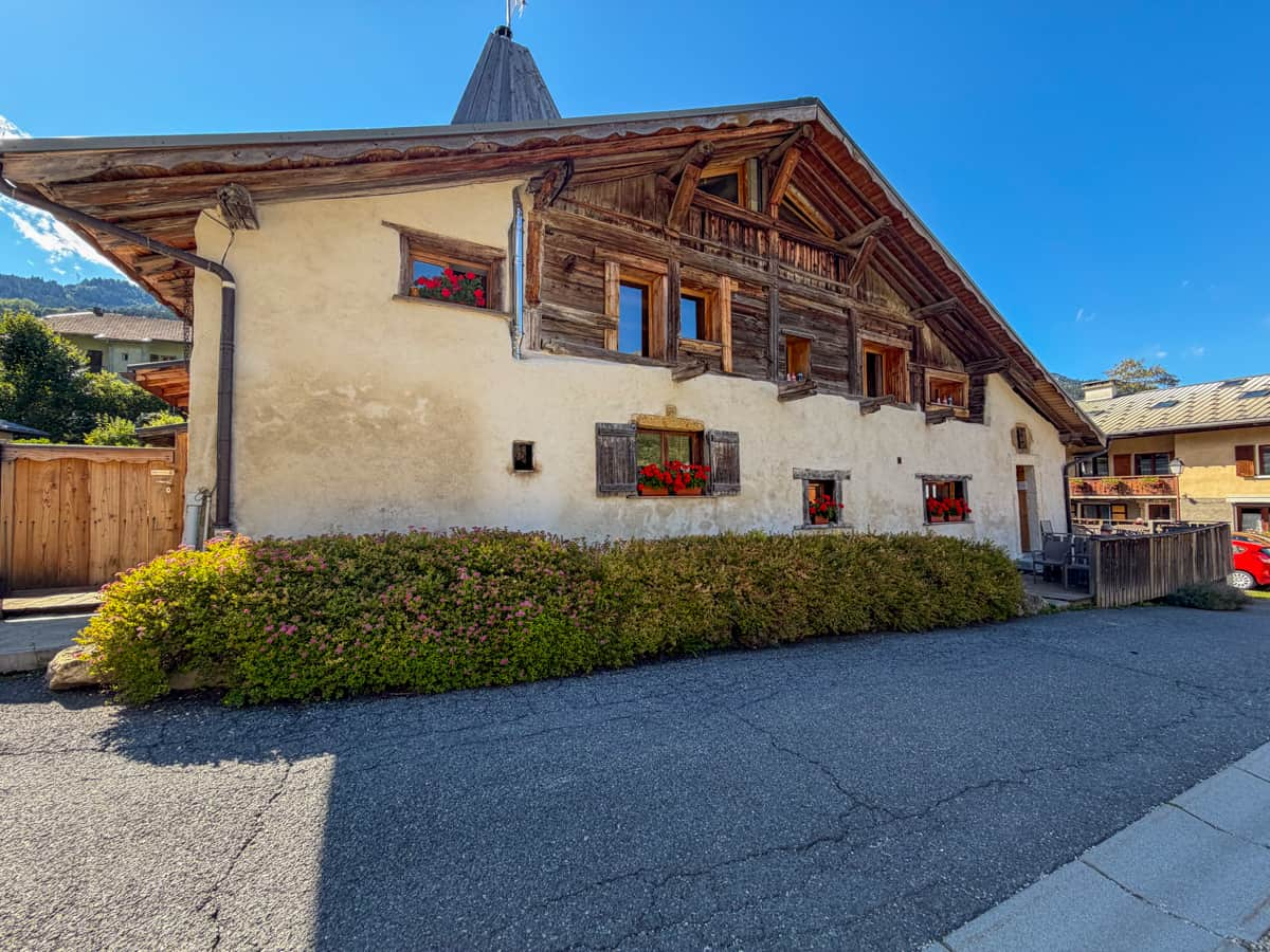
Before we knew it, we had reached Les Contamines, our home for the night. Les Contamines is a great place to ease into your first night of the Tour du Mont Blanc, given there are tons of amenities, like grocery stores, restaurants, bars, and even a pizza vending machine!
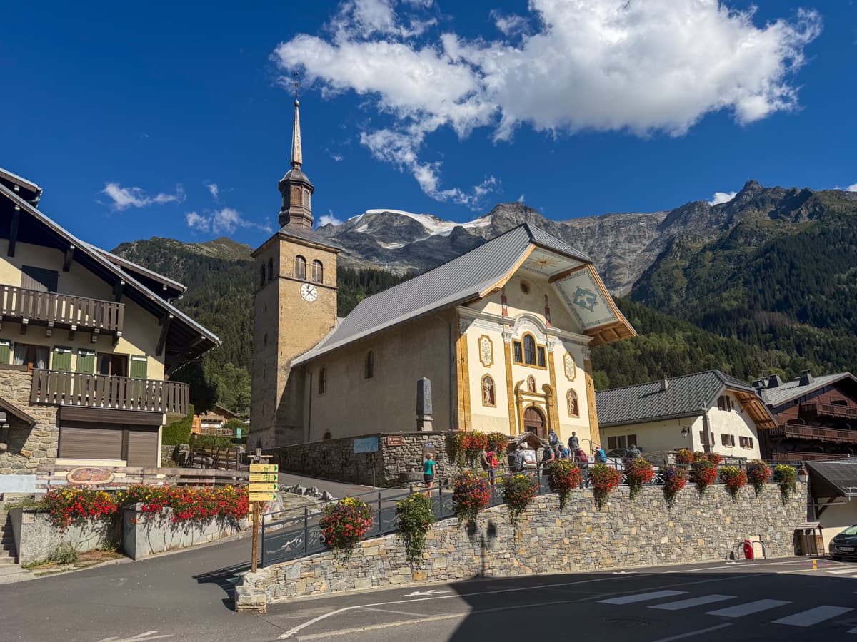
Insider tip: When we hiked the TMB, we didn’t really pass any restaurants or refuges on the first day that were open for lunch. Plus, even though we got to Les Contamines around lunchtime, most places didn’t open until dinnertime.

Accordingly, I’d recommend buying and packing your lunch from a grocery store in Les Houches or Chamonix the day before you start your hike.
Where to stay the night (hut to hut)
- Option 1: La Ferme à Piron. This is where we stayed in Les Contamines and really enjoyed it—we were able to get a private room with the two friends we were hiking with AND a private bathroom!
- Option 2: Gîte Les Mélèzes
- Option 3: Chalet-Hôtel La Chemenaz
Where to stay the night (camping)
- Option 1: Camping le Pontet
Stage 2: Les Contamines, France to Les Chapieux, France
- Distance: 18.3 km
- Elevation gain: 1,350 m
- Trail map
The second day of hiking the Tour du Mont Blanc starts quite easy, following a flat pathway that meanders through the forest, just east of the town of Les Contamines. About 3.2 kilometers, the path curves to the south and steeply starts climbing uphill.
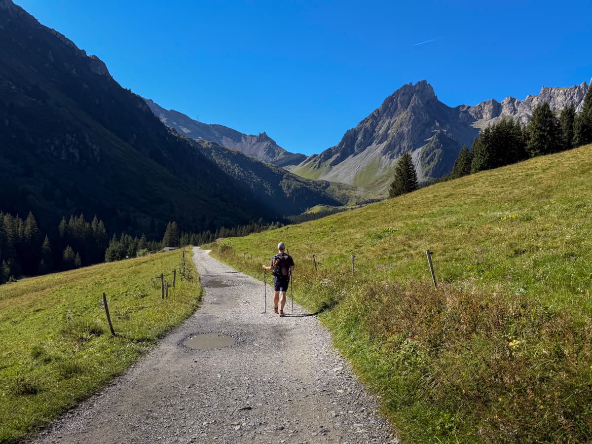
For the next 9.6 kilometers, it’s a pretty steady climb uphill, initially through a wooded forest and then through open grassy pastures.
For me, this was one of the hardest sections of the entire trail.
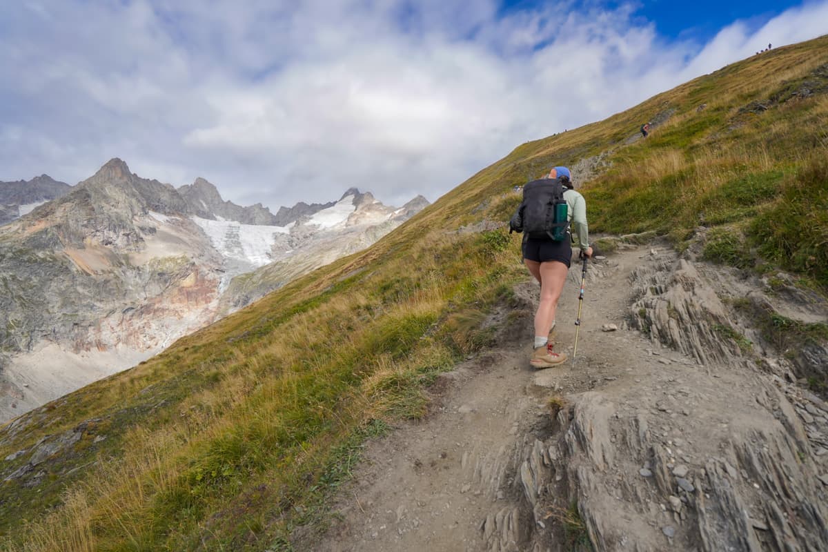
The uphill climb felt pretty unrelenting, with virtually no shade along the way to give you a reprieve from the sun and a crumbly trail that caused me to slide backwards with seemingly every other step. Plus, the trail was insanely busy AND there were at least two false summits along the way.
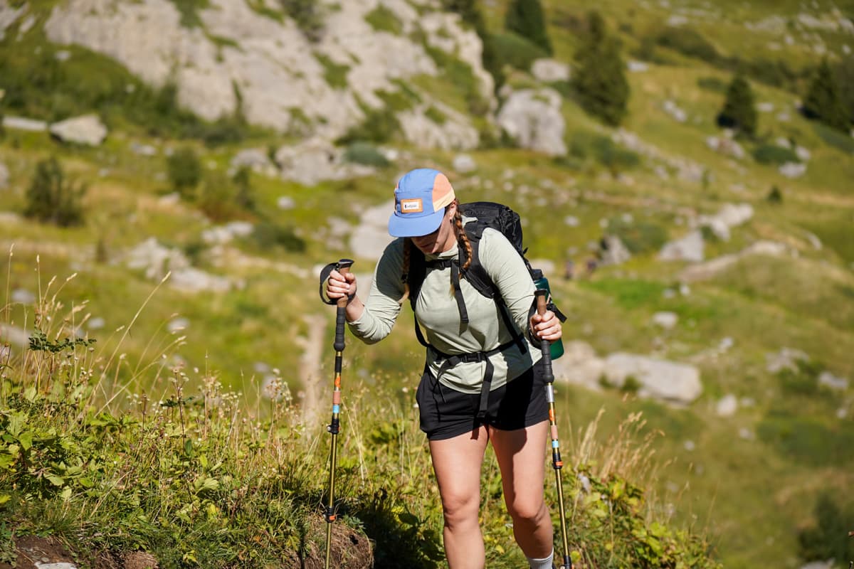
Still, there is a lot to enjoy about this section. Around 5.8 km into the hike, the forest clears and you’re able to get unobstructed views of the jagged peak of Aiguilles de la Pennaz, with the sounds of cowbells from grazing cows and sheep tingling off in the distance. And the mountain views keep getting better and better as you keep ascending higher and higher!
Once you FINALLY get to the top of the climb, you’re rewarded with jaw-dropping views of the impossibly green French Alps.
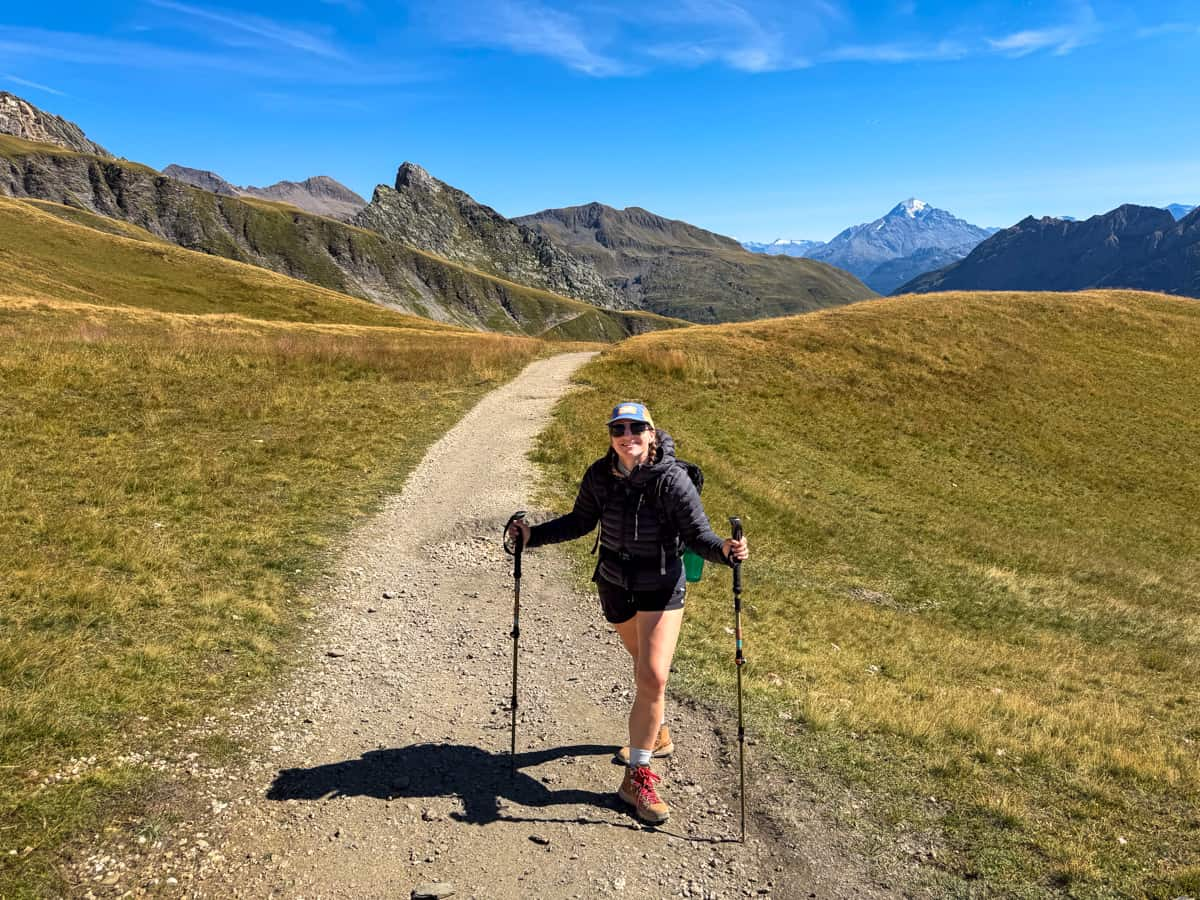
Refuge du Col de la Croix du Bonhomme is right past the summit. It was closed for renovations when we visited, but its picnic tables served as a great place to enjoy our lunch (picked up from the grocery store in Les Contamines), with potable waters and (very stinky) vault toilets available.
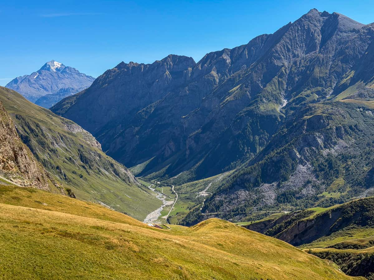
Afterwards, you climb steeply downhill for 5.6 kilometers until you reach the blink-and-you-miss-it town of Les Chapieux. The town is TEENY tiny, with basically two refuges, a pizzeria, and a very small market.
Where to stay the night (hut to hut)
As mentioned above, there are only two mountain refuges (or any accommodations) in Les Chapieux.
- Option 1: Auberge de la Nova. This is where we stayed—we generally really liked it, especially the food, which was some of the best out of our entire trip!
- Option 2: Les Chambres du Soleil
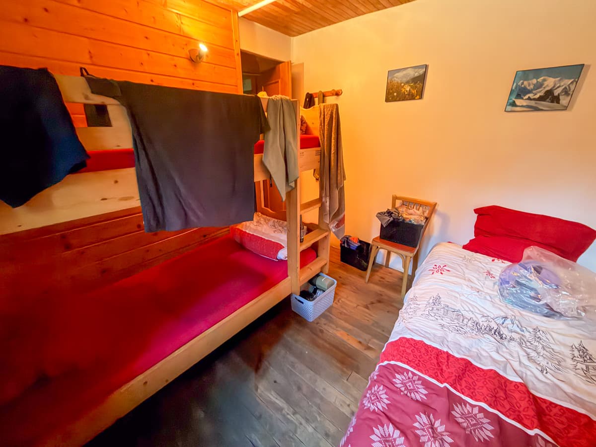
Since the two refuges in Les Chapieux only have a total of 85 available beds, it’s very common for them to completely sell out almost immediately after reservations become available.
Accordingly, many hikers book a stay outside of Les Chapieux, at either the Refuge des Mottets or in the nearby town of Bourg-Saint Maurice, which has plenty of hotels and other types of rentals to choose from.
There are daily shuttles that depart from Les Chapieux to Refuge des Mottets or Bourg-Saint Maurice (and vice versa), with tickets available for between €5-8 from a machine at the Les Chapieux Visitor Center.
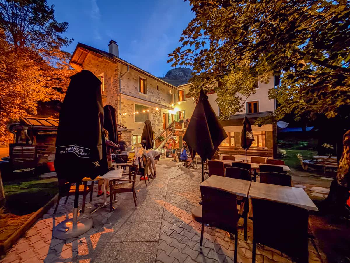
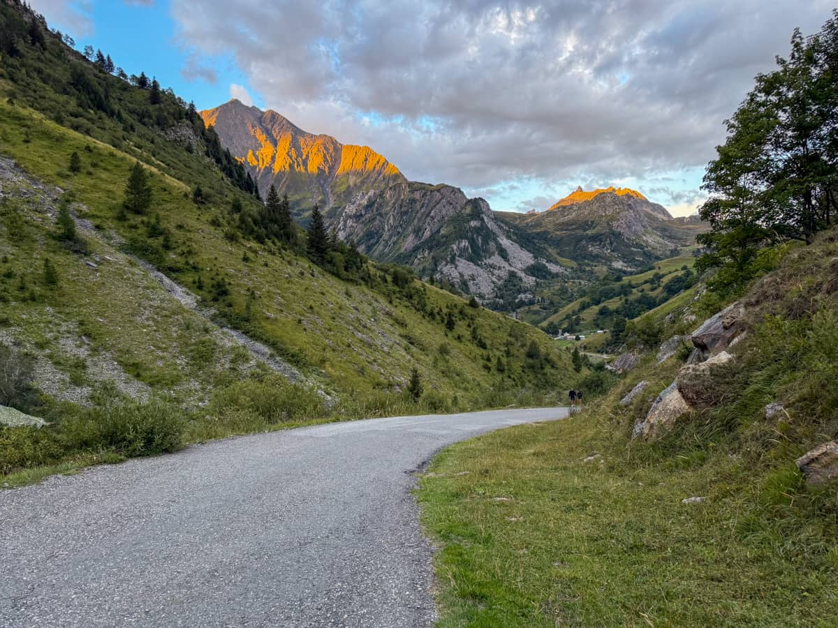
It’s VERY common for these shuttles to sell out, and, depending on where you’re headed, they stop running quite early in the day (for example, the last bus to Les Mottets leaves as early as 2:30 PM during September!). So be sure to buy tickets both to and from Les Chapieux immediately when you arrive into town.
If you’re unable to catch a shuttle for whatever reason, there’s also a list of about 30 taxi companies posted by the machine that you can call to take you to your refuge. Expect to pay at least €65 for a taxi ride, though!
With all that context in mind, here are a few other options near Les Chapieux that you’d likely need to take a shuttle or taxi to:
- Option 3: Refuge des Mottets. This option is right along the TMB, about 6.4 km past the traditional endpoint for Stage 2. So, if you’re a TMB purist and want to hike the entire trail, you’ll either have a VERY long and challenging hike on Day 2 to reach Refuge des Mottets (although a pleasantly short Day 3!) or, alternatively, will have to shuttle back and forth from Les Chapieux to cover the entire trail.
- Option 4: Hostellerie du Petit Saint Bernard in Bourg-St. Maurice. This hotel is close to where you’ll be dropped off if you take the shuttle from Les Chapieux.
Where to stay the night (camping)
- Option 1: Bivouac des Chapieux. This is a FREE campground (although they do suggest a €5 donation), with flushing toilets and potable water.
Stage 3: Les Chapieux, France to Rifugio Elisabetta, Italy
- Distance: 14.5 km
- Elevation gain: 1,079 meters
- Trail map
The third day is my FAVORITE day on the Tour du Mont Blanc, with absolutely jaw-dropping views the entire way.
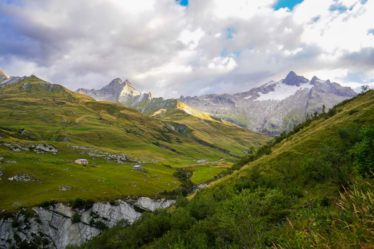
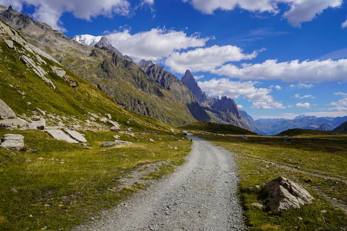
The first 6.4 km of Day 3 starts with a gentle uphill climb through the Vallée des Glaciers toward the Ville des Glaciers. Along the way, you hike directly through alpine cow pastures, with charming French chalets tucked into the surrounding hillsides.
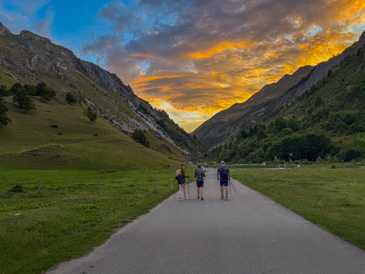
We had a LOT of mileage this day (more on that later!), so we left quite early and this valley was SO stunning with the soft glowy light of the rising sun!
We saw a ton of people take shuttles from Les Chapieux to Refuge de Mottets, bypassing the first several kilometers of this hike. If you physically need a break, then do what you have to do, but, otherwise, do NOT skip this section!
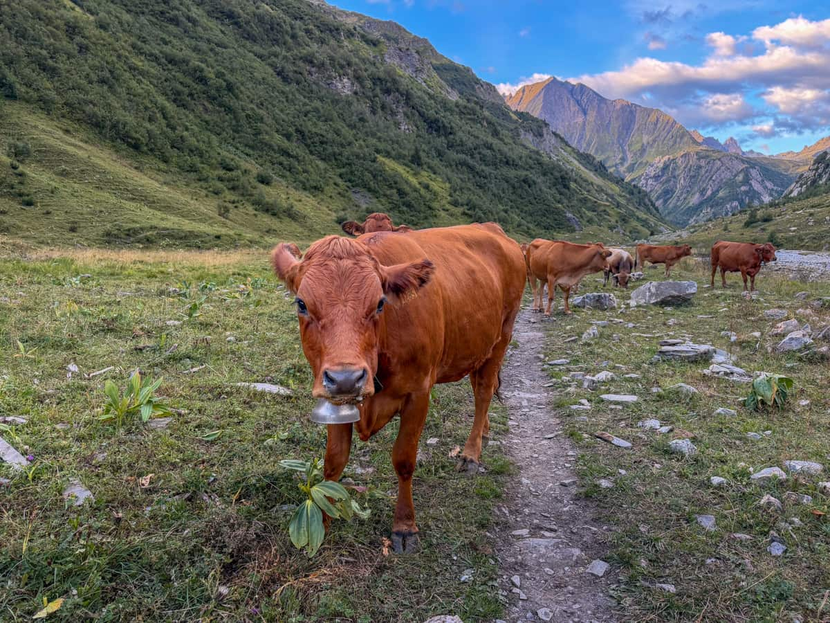
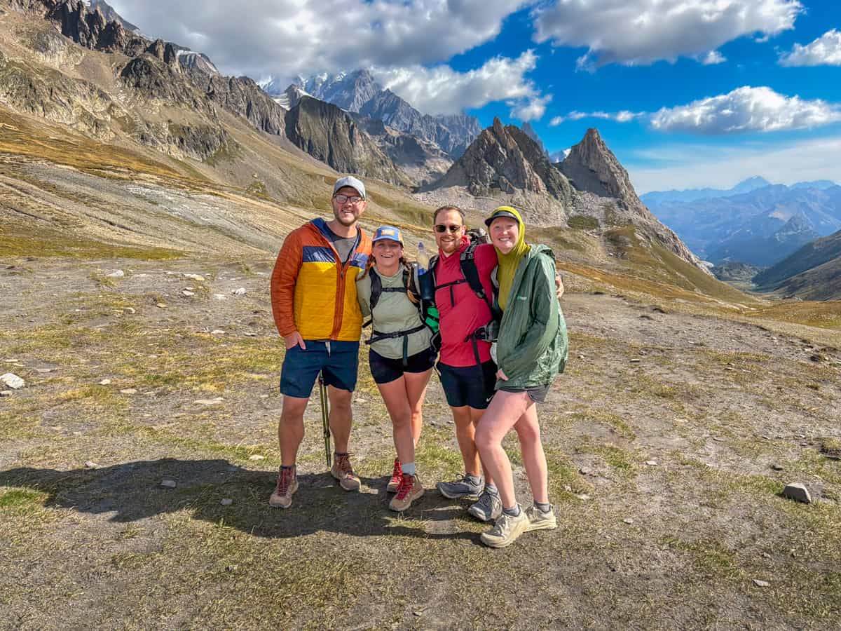
Once you pass Refuge des Mottets, the incline gets a lot more pronounced as you climb up to the French and Italian border at the Col de la Seigne pass, located 10.7 km into today’s hike.
Here, you’ll have in-your-face views of the jagged spires of the Val Vény and seemingly endless glaciated peaks of the surrounding mountains of the Mont Blanc massif.
From Col de la Seigne, the trail descends the rest of the way into the Combal glacial basin, with cow pastures and a rushing glacial river to your right and the dramatic Italian Alps to your left.
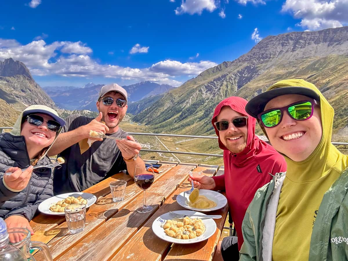
Your hike ends with a steep climb up a gravel pathway to Rifugio Elisabetta. Don’t miss the blue cheese gnocchi here–it’s their house specialty!
Insider tip: To be honest, Rifugio Elisabetta has a pretty bad reputation on online forums for being dirty and having low quality food at dinner and breakfast.. Additionally, not all of the hikers completing the Tour du Mont Blanc can possibly sleep in the 80 total beds in Rifugio Elisabetta. Accordingly, it’s pretty common for hikers to combine Stages 3 and 4, making their way to the city of Courmayeur (or, at least, most of the way there!) on their third day on the trail.

That’s exactly what we did on Day 3—we stopped at Rifugio Elisabetta for some blue cheese gnocchi for lunch and then continued hiking on the TMB for an additional 11 km (plus, some extra off-trail hiking) to Rifugio Monte Bianco, which is nestled in the Val Vény, right above Courmayeur. This allowed us to have a bit more options with respect to accommodations and have a “rest day” on Day 4, with just a short, downhill hike into Couermayeur.

So, decide whether you want to try to duke it out for a bed in Rifugio Elisabetta or if you’re up for the 25+ km hike to Courmayeur or the surrounding areas.
Where to stay the night (hut to hut)
- Option 1: Rifugio Elisabetta, if you want to follow the traditional Tour du Mont Blanc itinerary
- Option 2: Cabane du Combal, which is 3.4 km past Rifugio Elisabetta on the TMB
- Option 3: Rifugio Maison Vieille, which is 10.7 km past Rifugio Elisabetta on the TMB
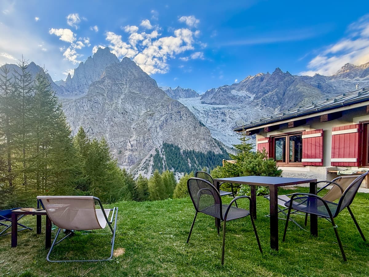
Where to stay the night (camping)
While the traditional Stage 3 of the TMB ends at Rifugio Elisabetta, there are no campgrounds available here, so you’ll need to go quite a bit further down into Val Vény.
- Option 1: Camping Aguille Noire
- Option 2: Hobo Camping
Both of these options are about 11 km past Rifugio Elisabetta, on the ridgeline above the town of Courmayeur, Italy, and require some off trail walking.
Stage 4: Rifugio Elisabetta, Italy to Courmayeur, Italy
- Distance: 16 km
- Elevation gain: 520 meters
- Trail map
If you stayed at Rifugio Elisabetta, Stage 4 will continue leading you deeper into Val Vény.
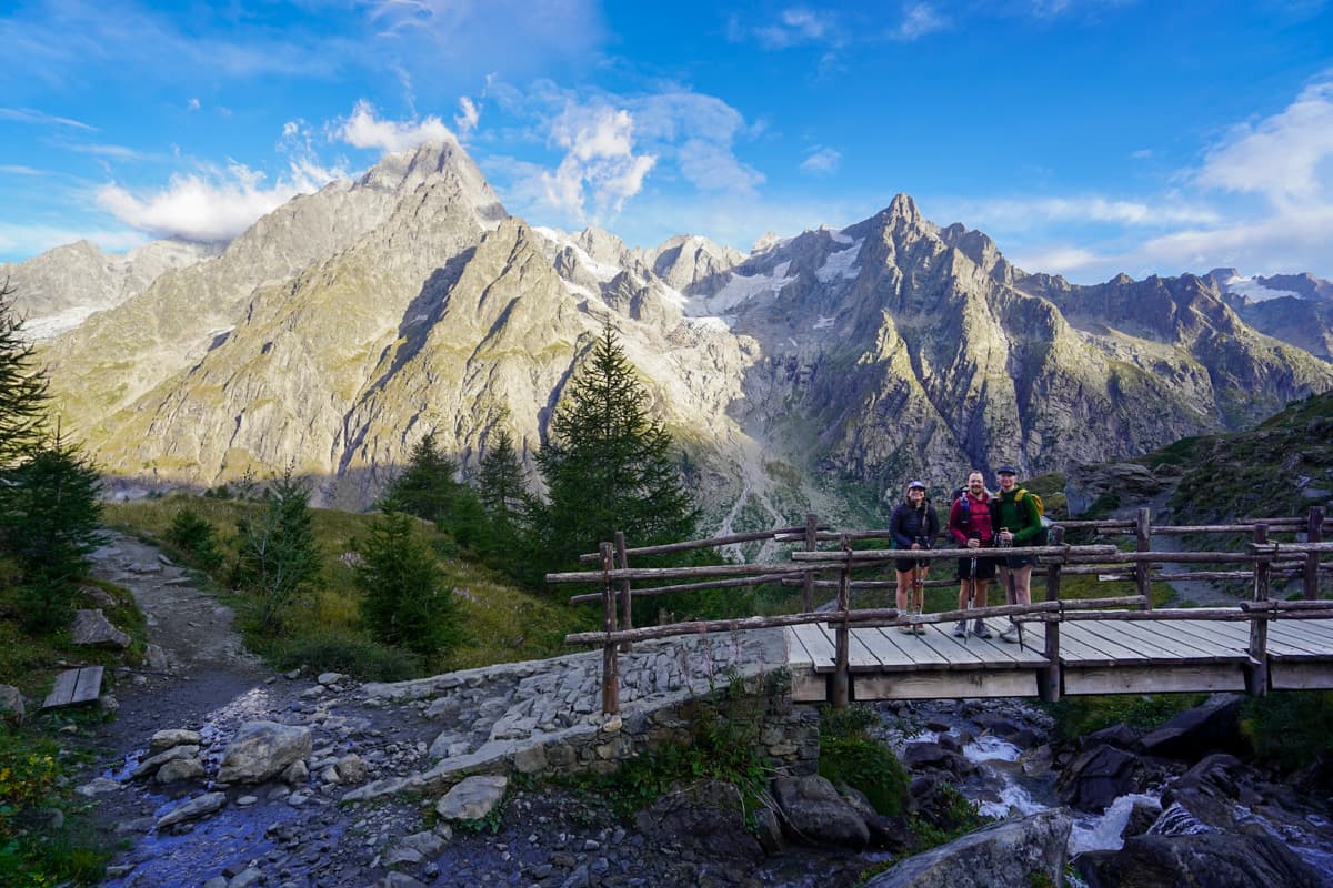
The beginning portion of the hike is a very gentle downhill walk through the valley, with dramatic views of the granite walls of the Mont Blanc massif to your left hand side. My favorite portion of this section was the shockingly turquoise colors of the glacially fed Lago del Miage—it looks like something you’d see in the Canadian Rockies!
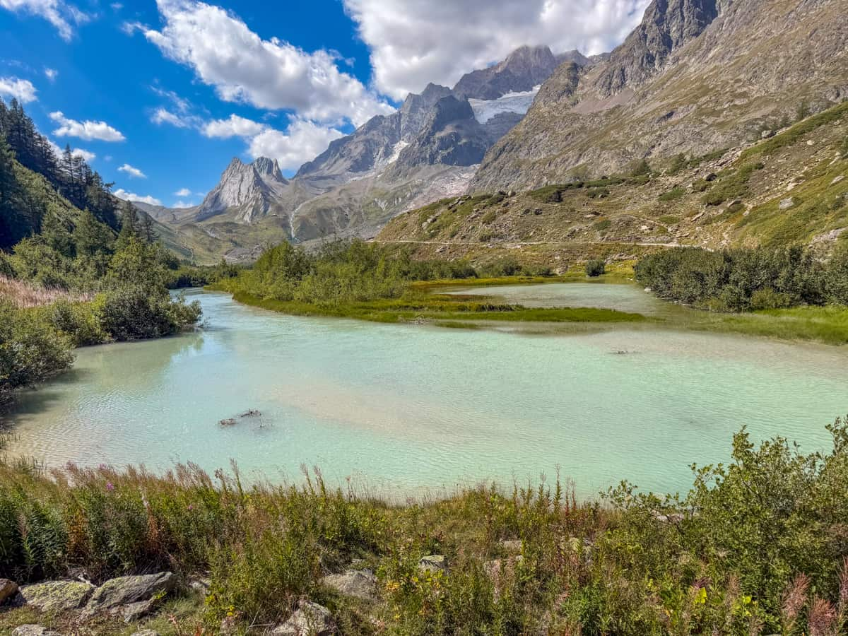
Around 3.5 km into your hike, the trail will sharply veer from the valley floor, steeply up into a dense forest. From here, you’ll climb 457 meters up to the highest terrace along the Val Vény, offering you an even higher perspective of the shockingly jagged peaks that you passed underneath yesterday.
Once you’ve climbed up to the highest point along the pass, you’ll start making your descent down into Courmayeur, first along Val Vény and, eventually, down a series of narrow and dusty switchbacks that winds through a heavily wooded forest.
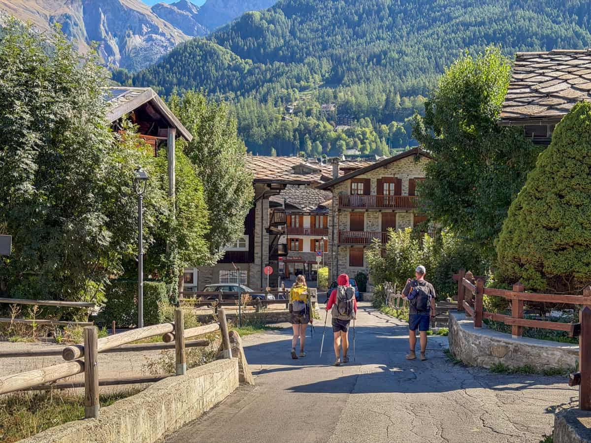
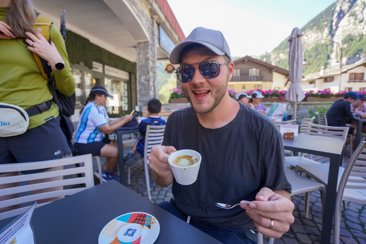
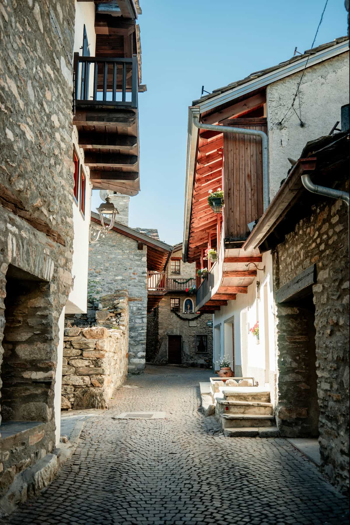
Unlike most of the villages and hamlets you’ll pass along the trail, Courmayeur is a proper town, with bakeries, laundromats, grocery shops, cafes, and lots of hotels. So grab a slice of a pizza and some gelato—you earned it!!
Where to stay the night (hut to hut)
Since there’s SO much good food in Courmayeur, I’d suggest deviating from staying at a mountain refuge and booking a more standard hotel, in the heart of the city, for your time here.
While we were in Courmayeur, we stayed at Rifugio Chapy, which was unoffensive, but inconveniently located and generally pretty forgettable. We were definitely kicking ourselves that we were stuck eating mediocre mountain hut food, when there was so much delicious Italian food in town!
With that in mind, here are some options to consider:
- Option 1: Hotel Maison Saint Jean. It’s in the heart of Courmayeur, offers free breakfast, and has a POOL!
- Option 2: Hotel Croux
- Option 3: Cresta et Duc Hotel
Where to stay the night (camping)
There aren’t any campgrounds in or really anywhere close to the center of Courmayeur. I’d generally recommend getting a hotel or refugio in the city, but if you’re super committed to camping, here are some options:
- Option 1: Camping Grandes Jorasses
- Option 2: Camping Tronchey
Both of these options are in the Val Ferret, past Courmayeur, and significantly off-trail, but you can catch a free Arriva bus (the #924) most of the way to either of these campgrounds from the city.
Adding in a rest day
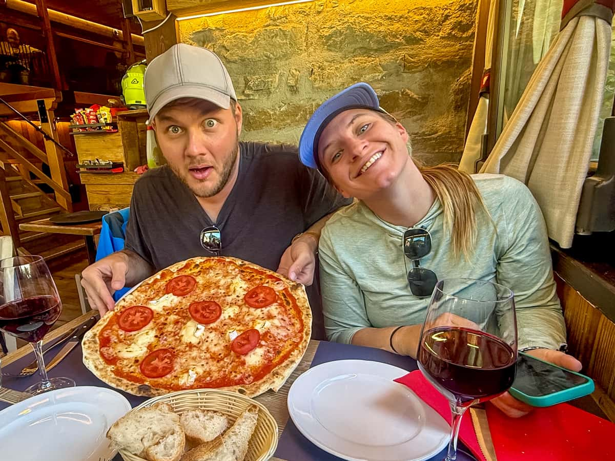
Most people elect to take an extra rest day in Courmayeur, due to the options for more comfortable accommodations (did I mention there are hotels with pools?!), restaurants, and even spas, like the QC Terme Mont Bianco Spa and Resort, that have become a popular addition to many hikers’ Tour du Mont Blanc itinerary. Plus, it’s the halfway point of the TMB!
A rest day isn’t included in the traditional stages of the TMB. Accordingly, I’m not going to add any extra days into this section of the article, but, in the Tour du Mont Blanc itineraries suggested below, I’ve built in time for rest days.
I would absolutely recommend building in some kind of easier day to give your feet and legs a break, whether you do more distance on Day 3, as mentioned above, so you can mostly take it easy on Day 4 or baking in a whole extra day after Day 4, just to chill out in Courmayeur.
Stage 5: Courmayeur, Italy to Rifugio Bonatti, Italy
- Distance: 12.3 km
- Elevation gain: 1,092 meters
- Trail map
Today starts with an uphill climb, first through the paved streets of Courmayeur and then along switchbacks through a dense forest. Be sure to take a peak at the city of Courmayeur in the valley below, as you climb higher and higher on the switchbacks—it’s crazy to see how far your feet can carry you!
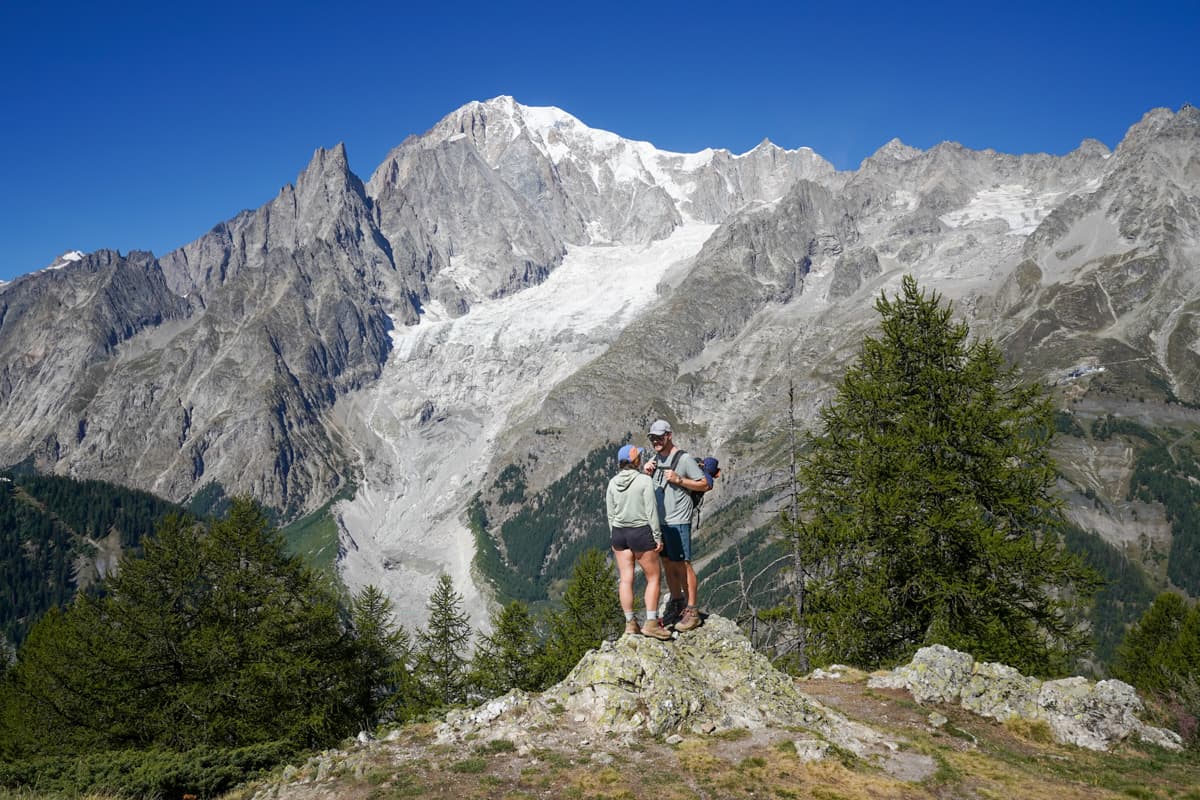
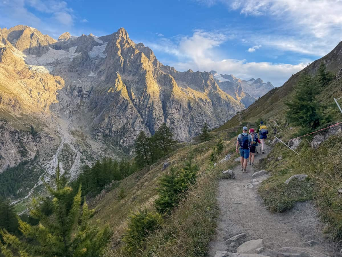
After 5.1 km, you’ll be on top of a ridge line on the Val Ferret, with spectacular views of the Grandes Jorasses and the surrounding peaks of the Mont Blanc massif.
The rest of the day continues along the flat ridgeline, with stretches of both open meadows and dense forests.
Between the relatively easy elevation gain that you tackle at the beginning of the day and the jaw-dropopping views of the Italian Alps to your left hand side, this was one of our favorite days on the Tour du Mont Blanc!
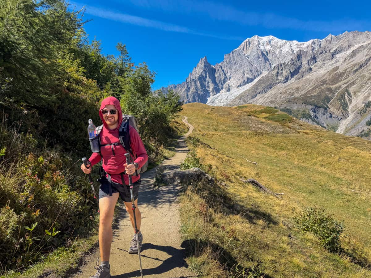
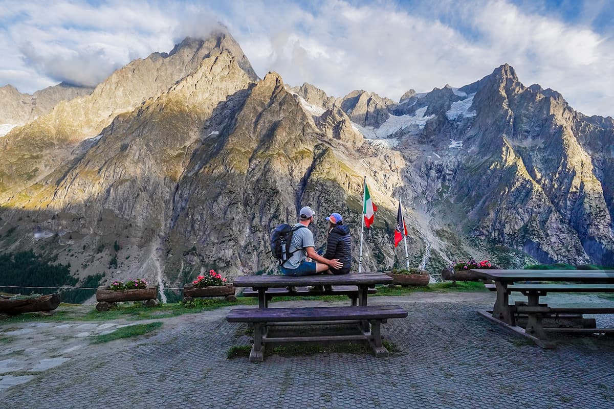
There’s a short, but steep uphill climb to Rifugio Bonatti, which provides one of the most dazzling views of Mont Blanc from any of the mountain refuges!
Insider tip: Be sure to pack a lot of water today, especially if you’re hiking later in the season. For most of the Tour du Mont Blanc, there are plenty of fountains with potable water lining the trail, so we rarely had to think about where to fill up.

However, this section of the trail doesn’t have any fountains, except for one at Bertone Hut, which wasn’t working when we visited and had a sign suggesting this was a frequent occurrence. And, all of the water sources we saw marked on our hiking apps were all dried up when we hiked the trail in early September. We bought some VERY expensive bottles of water at Bertone Hut, but, otherwise, we would have been in trouble!
Where to stay the night (hut to hut)
Like Stage 3 that ends at Rifugio Elisabetta, not all TMB hikers can stay the night at Bonatti, given their 78 total bed capacity. And, also like Elisabetta, there aren’t any other mountain huts immediately around Bonatti.
So, if you’re unable to snag a spot there, you may have to add on some extra distance to today’s hike to stay at one of the closest options.
With that in mind, here’s where I’d recommend staying:
- Option 1: Rifugio Bonatti. This is where we stayed and generally really loved it, from the incredible service and food at dinner to the stunning views out of our window. Your showers are limited to two minutes of hot water, which is a bit of a bummer and there’s no Wifi, but otherwise, this would have been one of our favorite refuges.
- Option 2: Chalet Val Ferret, 5.1 km past Bonatti on the TMB
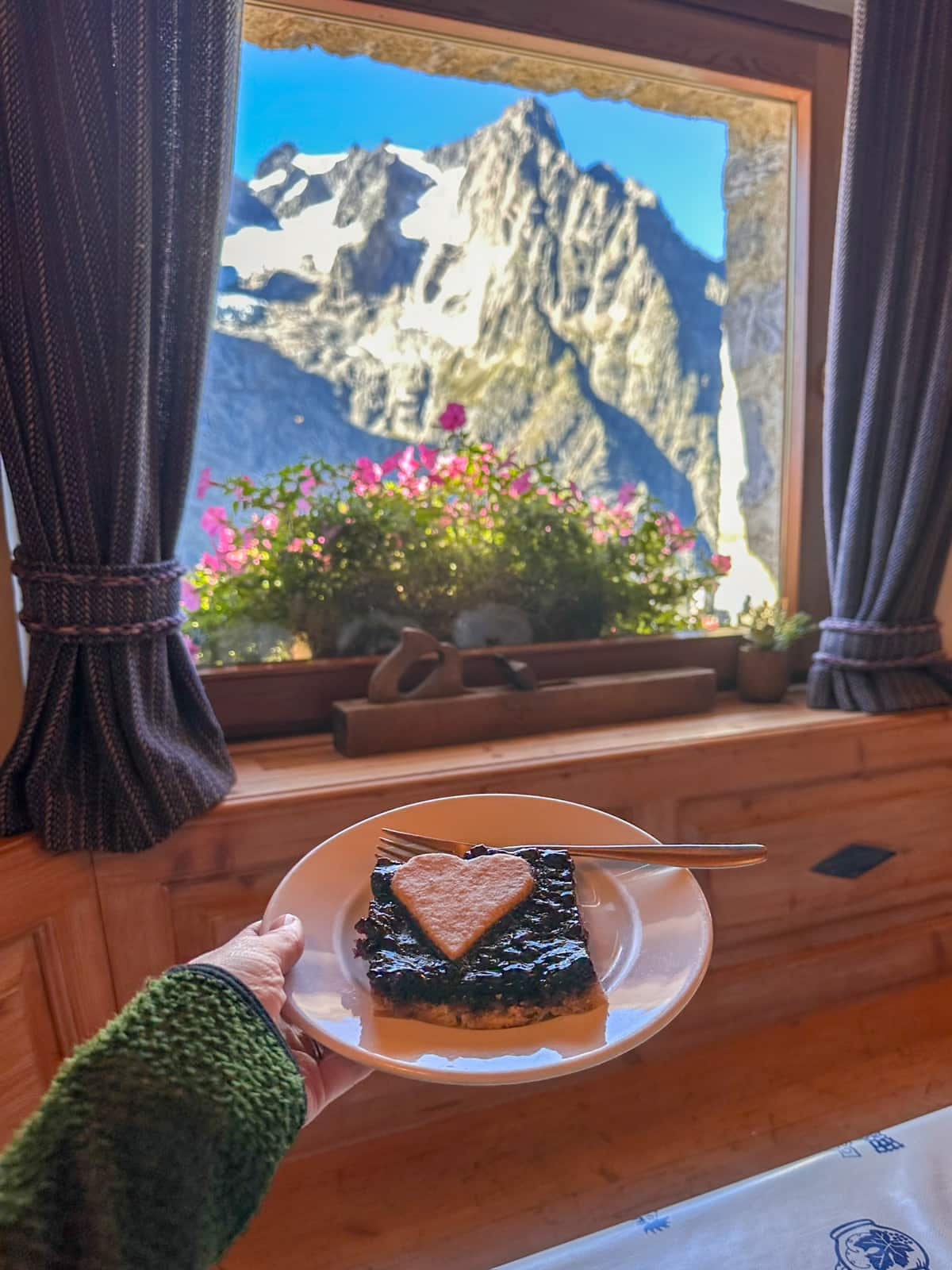
- Option 3: Rifugio Elena, 7.7 km past Bonatti on the TMB. We stopped here on our Day 6 for some pie and espresso and were SO impressed by the clean facilities and the INCREDIBLE views!
Where to stay the night (camping)
There unfortunately aren’t any established campgrounds on the stretch between Camping Grandes Jorasses and Camping Tronchey, recommended above, near Courmayeur and La Fouly, Switzerland, which is the endpoint of Stage 6.
Accordingly, some campers opt to hike Stage 5 as a day hike from the Courmayeur area.
To do this, you leave from the Val Ferret campgrounds, suggested above (leaving your camping gear there); hike up to Bonatti; climb downhill for 2.4 km back down to the road that the Val Ferret campgrounds are located on; and either take the #924 bus or walk back to your campground. The following day, you’d have to climb back up 2.4 km to Rifugio Bonatti and then continue on the typical Stage 6 hike.
Alternatively, you can hike all the way to Camping des Glaciers, in La Fouly, Switzerland, which is the endpoint of Stage 6.
This makes for a loooong and challenging day 5 (around 32.4 km!!), but there are several shortcuts that you can take with public transit if that amount of distance and elevation gain doesn’t sound doable to you. For example, you can take the #924 bus from Courmayeur to the Arp Nouvaz bus stop near Chalet Val Ferret, which would shave off a whopping 17.6 km.
This wouldn’t be my first choice, as you’d completely be skipping Stage 5 (which has BEAUTIFUL scenery), but do what you gotta do!
- Option 1: Camping Grandes Jorasses, hiking Stage 5 as a day hike and using public transit to return to the campground
- Option 2: Camping Tronchey, hiking Stage 5 as a day hike and using public transit to return to the campground
- Option 3: Camping des Glaciers, 20 km past Rifugio Bonatti, in La Fouly, Switzerland
Stage 6: Rifugio Bonatti, Italy to La Fouly, Switzerland
- Distance: 20 km
- Elevation gain: 909 meters
- Trail map
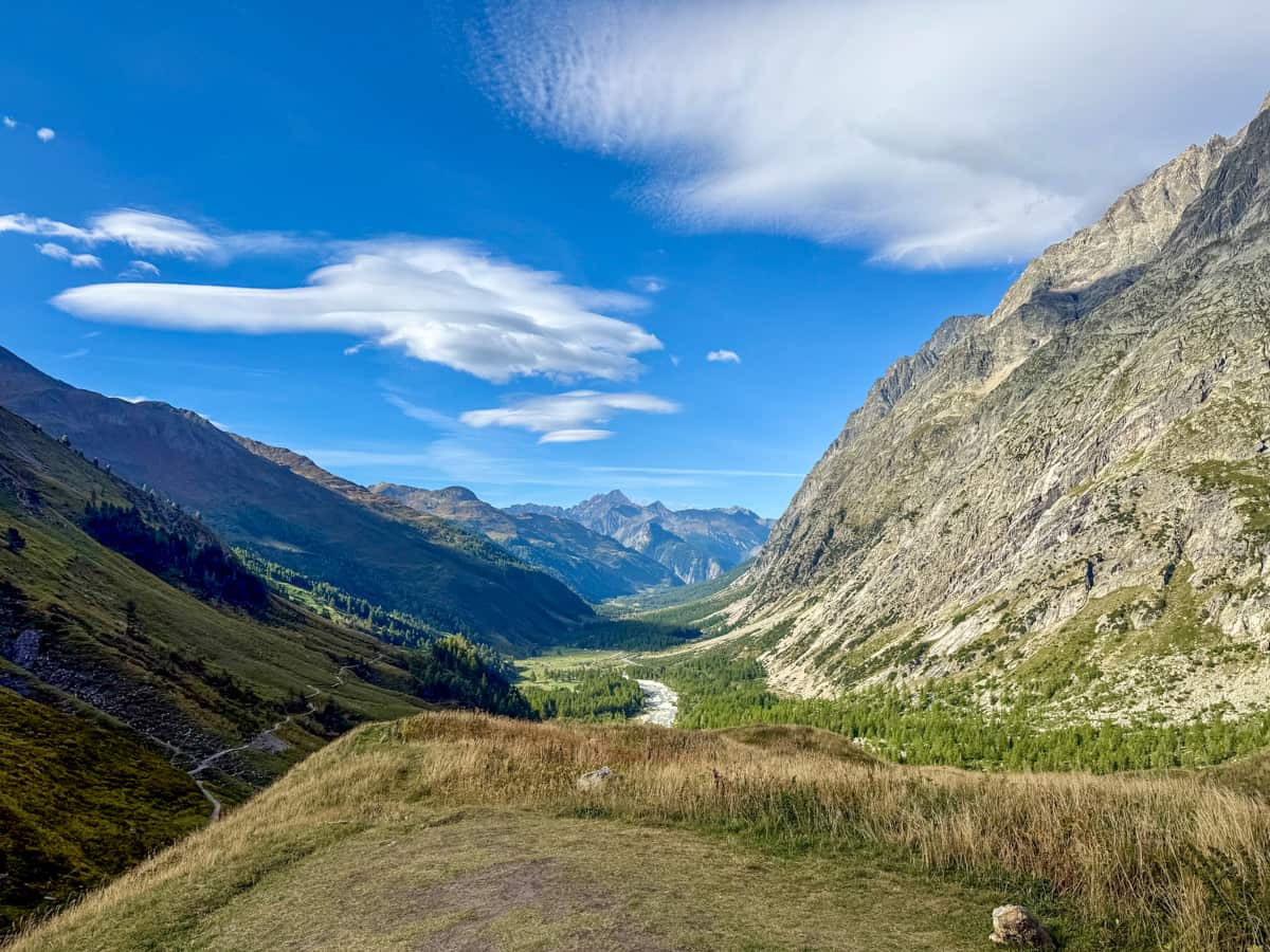
From Rifugio Bonatti, the trail continues along a mostly flat balcony along the Val Ferret, providing some of the last spectacular views of the Italian Alps that you’ll get along the hike.
About 3.7 km into the trail, it will start steeply sloping downhill into the Aosta Valley. You’ll pass Chalet Val Ferret and Rifugio Elena (this hut is SO stunning and has incredible pie, so make sure to stop here!), before you start the push up to the Grand Col Ferret.
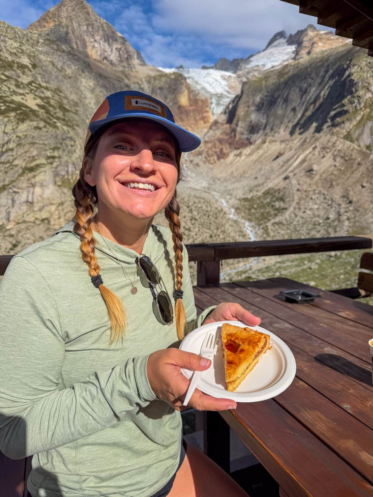
The switchbacks up to the pass feel pretty unrelenting, but you’ll have dazzling views of the Fréboudze Glacier and the Grandes Jorasses range along the way to distract you.
At the top, the views from Grand Col Ferret are some of the very best along the Tour du Mont Blanc (and definitely better than anything you’ll see on Stages 7 and 8, so soak it up!). Plus, good news—you’re officially in Switzerland!
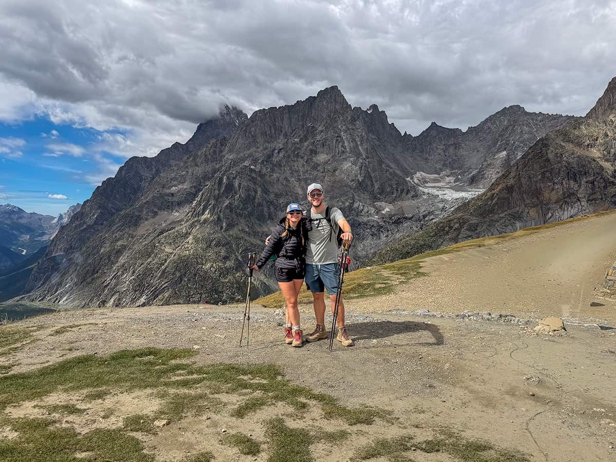
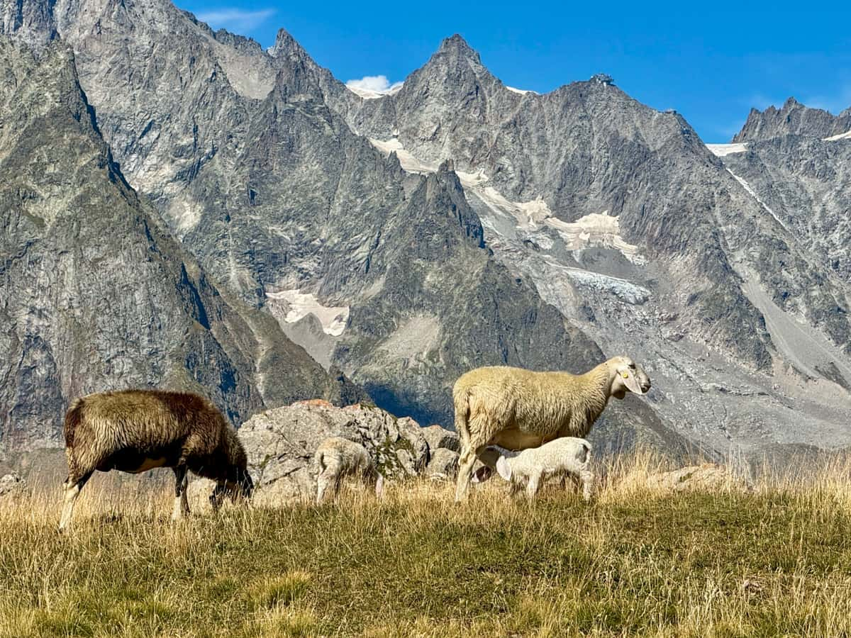
From the pass, the last 10 km of the trail head downhill through a series of rolling green pastures, dotted with grazing sheep and cows.
Gîte Alpage de La Peule, which is a mountain refuge AND a working alpine dairy farm, is a great stopping point for lunch, thanks to its delicious homemade cheese and not-to-be-missed ice cream.
The trail eventually flattens out, meandering between paved roads through teeny Swiss hamlets and a gravel trail through wooded forests.
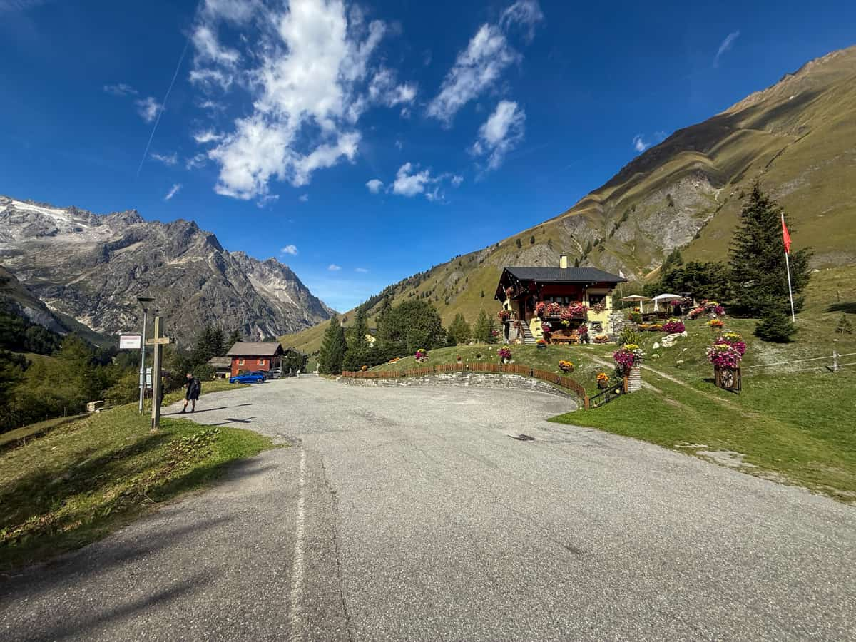
La Fouly, the stopping point for the day, is a small village, with a grocery store, a handful of restaurants, and a few refuges to choose from.
Where to stay the night (hut to hut)
- Option 1: Auberge des Glaciers
- Option 2: La Fouly Lodge
- Option 3: Hôtel Edelweiss
Where to stay the night (camping)
- Option 1: Camping des Glaciers
Stage 7: La Fouly, Switzerland to Champex-Lac, Switzerland
- Distance: 15.1 km
- Elevation gain: 502 meters
- Trail map
This is one of the easiest days on the Tour du Mont Blanc, with the first 10.4 km gently descending downhill alongside an alpine stream, Dranse de Ferret. The trail passes through stretches of larch tree forests, open pastures, and charming villages, with historic wooden chalets lining their narrow and winding streets.
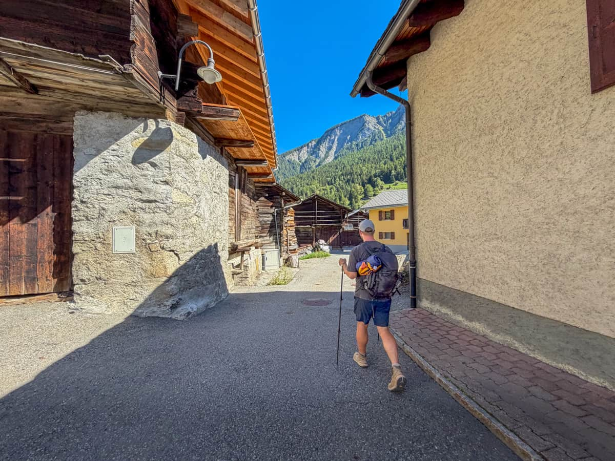
Insider tip: Be sure to stop at La Kabana, an open air crepe stand about 7.9 km into the hike. They have a huge variety of sweet and savory crepes to choose from, really delicious coffee, and beautiful views to enjoy!
After your descent, you do pretty much all of today’s elevation gain through a dense forest, with some unique wooden carvings of squirrels, frogs, and other woodland creatures dotting the trailside.
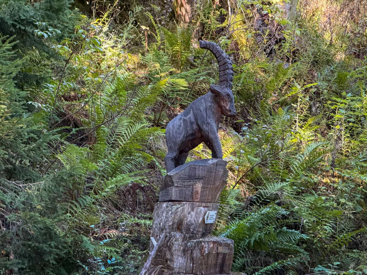
Towards the end of the trail, you’ll reach Lac de Champex, one of the only alpine lakes you pass on the Tour du Mont Blanc and one of the only lakes you’re allowed to swim in the area.
To be honest, this was one of my least favorite days on the Tour du Mont Blanc, with pretty limited mountain views, lots of pavement (which is actually kind of painful on already tender feet), and an uphill climb later in the day (i.e., when it’s hotter and you’re more tired).
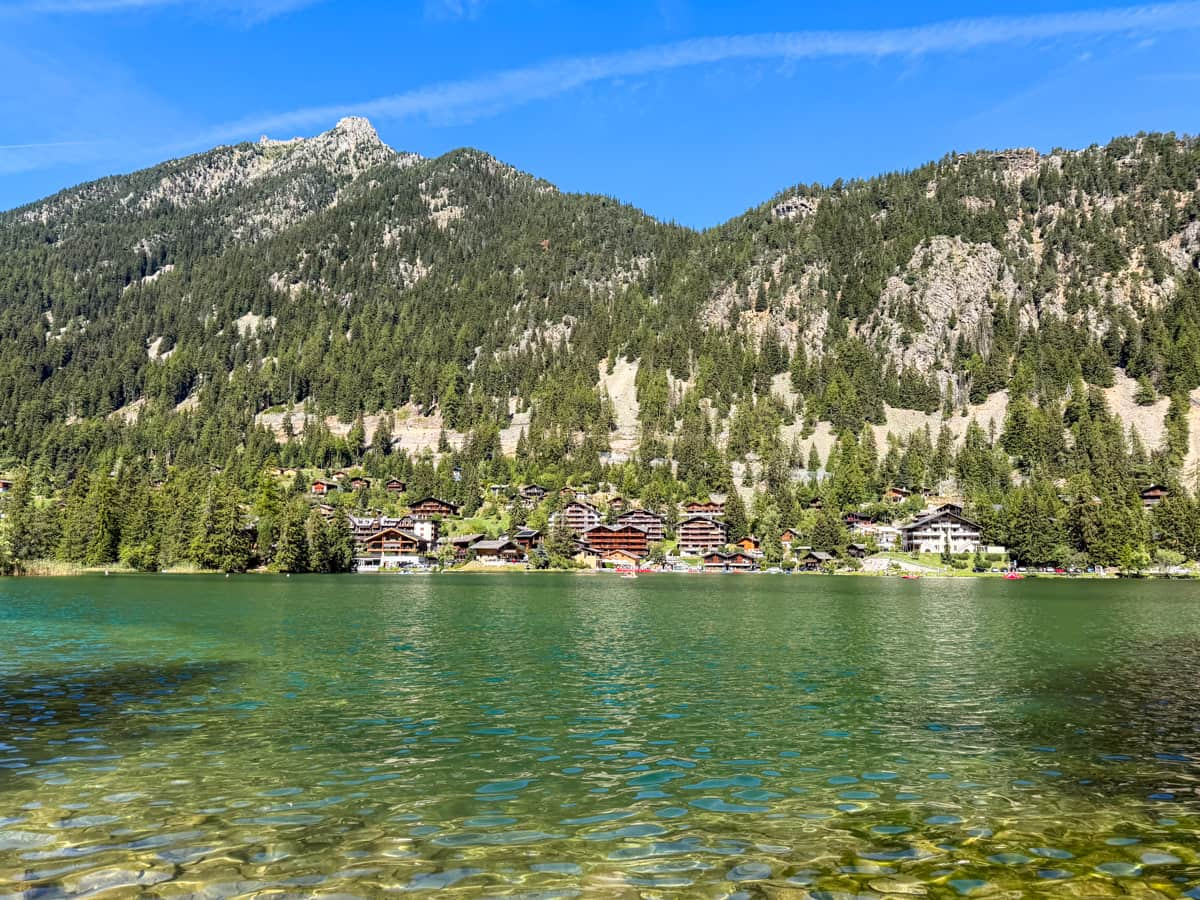
Still, I REALLY enjoyed relaxing by Lac de Champex—there were tons of locals around, soaking up the sun, trying to master hydrofoil surfboards, and having picnics on the lakeshore. It’s a different vibe than anyplace else on the Tour du Mont Blanc and was a fun and welcome change from just hanging out at our refuge in the afternoon.
Champex-Lac is a small village, but seems to be pretty popular with European tourists, beyond just hikers on the Tour du Mont Blanc. Accordingly, the town offers a handful of grocery stores, souvenir shops, bakeries, and restaurants.
Where to stay the night (hut to hut)
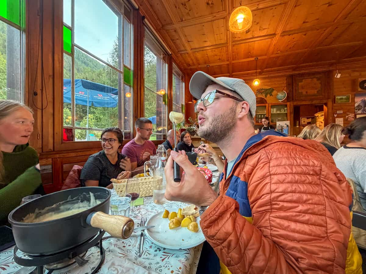
- Option 1: Auberge Gîte Bon Abri. This is where we stayed in Champex-Lac. Most of the aspects of this refuge were pretty mediocre, but, I will say, I LOVED the dinner—cheese fondue!!
- Option 2: Hotel Sunways
- Option 3: Le Rendez-vous
Where to stay the night (camping)
- Option 1: Camping Les Rocailles
- Option 2: Camping du Relais d’Arpette
Stage 8: Champex-Lac, Switzerland to Trient, Switzerland
- Distance: 15.9 km
- Elevation gain: 802 meters
- Trail map
From Champex-Lac, the trail follows along a few flat roadways in small farming villages, with lots of grazing cows in the surrounding pastures, and then leads downhill through pine tree forests.
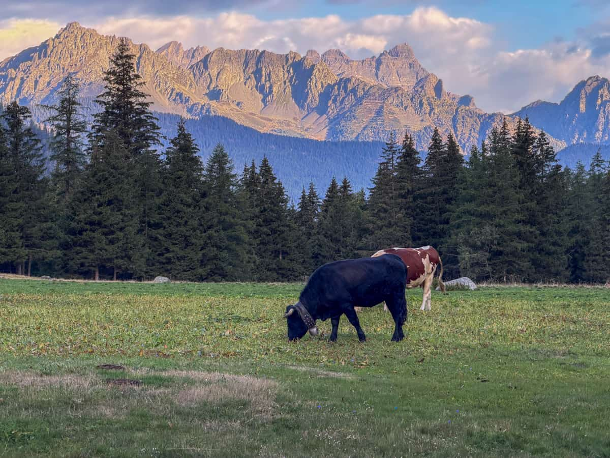
About 4.5 km into the trail, you’ll start your ascent for the day, up a steep and rocky pathway that snakes through a dense forest.
Towards the top of this climb, you’ll get beautiful peekaboo views of the Rhône Valley and, beyond, the Bernese Alps. To be honest, though, most of this portion of the trail is through thick tree coverage, with extremely limited views of the surrounding valley and mountain. This made the uphill slog feel decidedly not worth it. Coupled with the stabby rocks that were KILLING my feet, Stage 8 was, BY FAR, my least favorite day on the TMB.
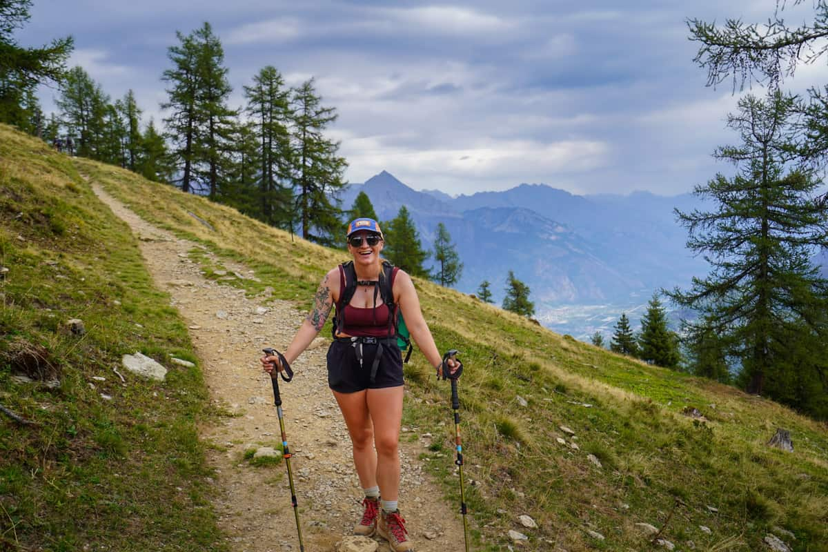
If you (like me!) need a little pick-me-up to break up your climb, keep an eye out for Alpage de Bovine, a small cafe and dairy farm near the top of the ascent that has a solid selection of beers, baked goods, and cheeses.
After 5.3 km of climbing, you’ll reach the pass, followed by a steep climb down the crumbly pathway through the forest to the town of Trient.
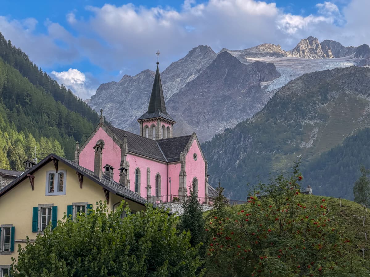
The town sprawls more than most of the small villages that you pass on the Tour du Mont Blanc, but somehow has a very limited selection of restaurants, bakeries, and shops. One of the highlights here, though, is Église Rose, a cheerfully pink church that looks even more picturesque with the mammoth Trient Glacier in the background.
Where to stay the night (hut to hut)
- Option 1: Auberge du Mont Blanc. We stayed here and thought it was one of the better refuges on our trek, with a washing machine and sauna in the basement, unlimited hot showers, decent wifi, and clean rooms.
- Option 2: Auberge la Grande Ourse. This was right next to our auberge and we were definitely jealous of its bar with panoramic windows!
- Option 3: Hôtel du Col de la Forclaz
Where to stay the night (camping)
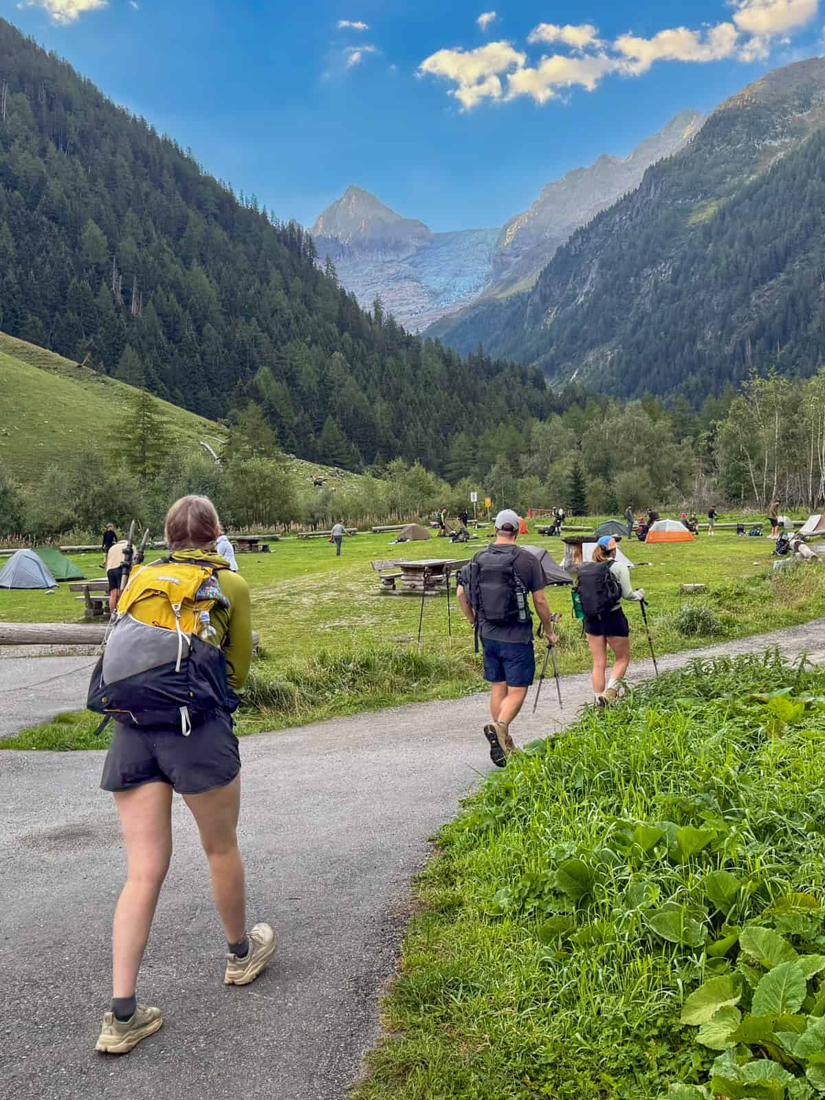
- Option 1: Le Peuty. We actually ate here, instead of Auberge du Mont Blanc, because their dining room is in a yurt (and who doesn’t love a yurt?). We took a peek into their refuge, which looked ROUGH, but the campground is one of the only options in Trient and offers gorgeous views of the Trient Glacier.
- Option 2: Camping de l’Arpille
Stage 9: Trient, Switzerland to Montroc, France
- Distance: 14.6 km
- Elevation gain: 1123 meters
- Trail map
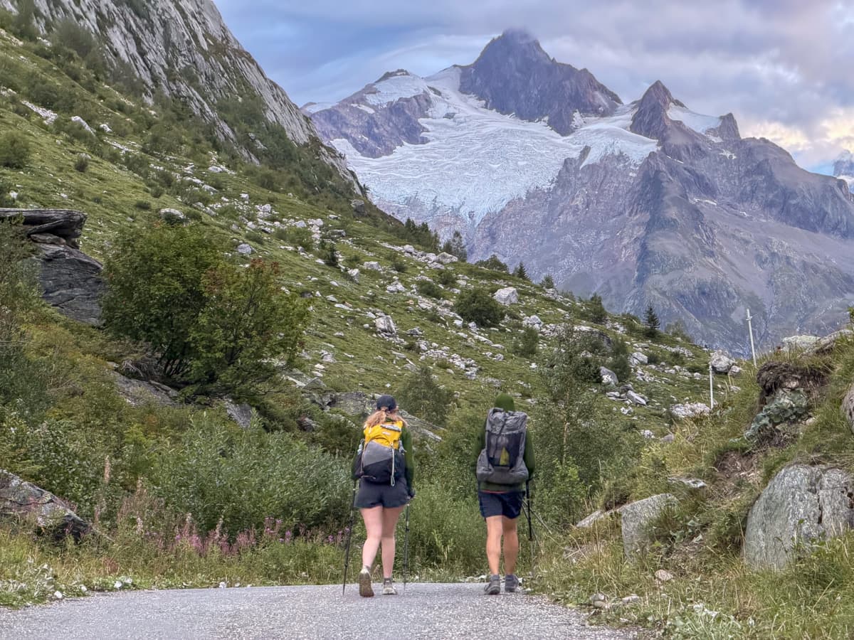
From Trient, you walk through the village and enter a larch tree forest, immediately climbing up a seemingly endless series of switchbacks.
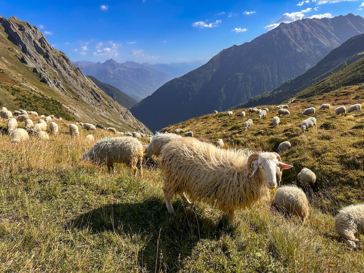
As you climb higher and higher and get closer to the Col de Balme pass, the forest will open up, offering you incredible views of the surrounding Swiss alps and hundreds of adorable grazing sheep.
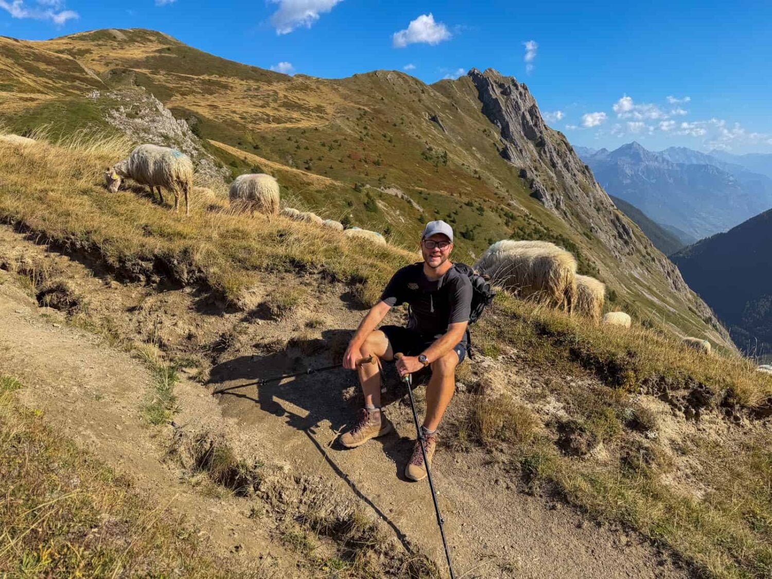
Once you reach the top of the pass 6.9 km into the trail, there are GLORIOUS views of Mont Blanc and the glaciated peaks of the surrounding French Alps.
To be honest, before reaching the Col de Balme pass, I felt a teeny bit over the Tour du Mont Blanc—the two preceding days (and the morning of Stage 9) had felt like challenging slogs through the forests, with very little payoff, but the views here MORE than made up for it!
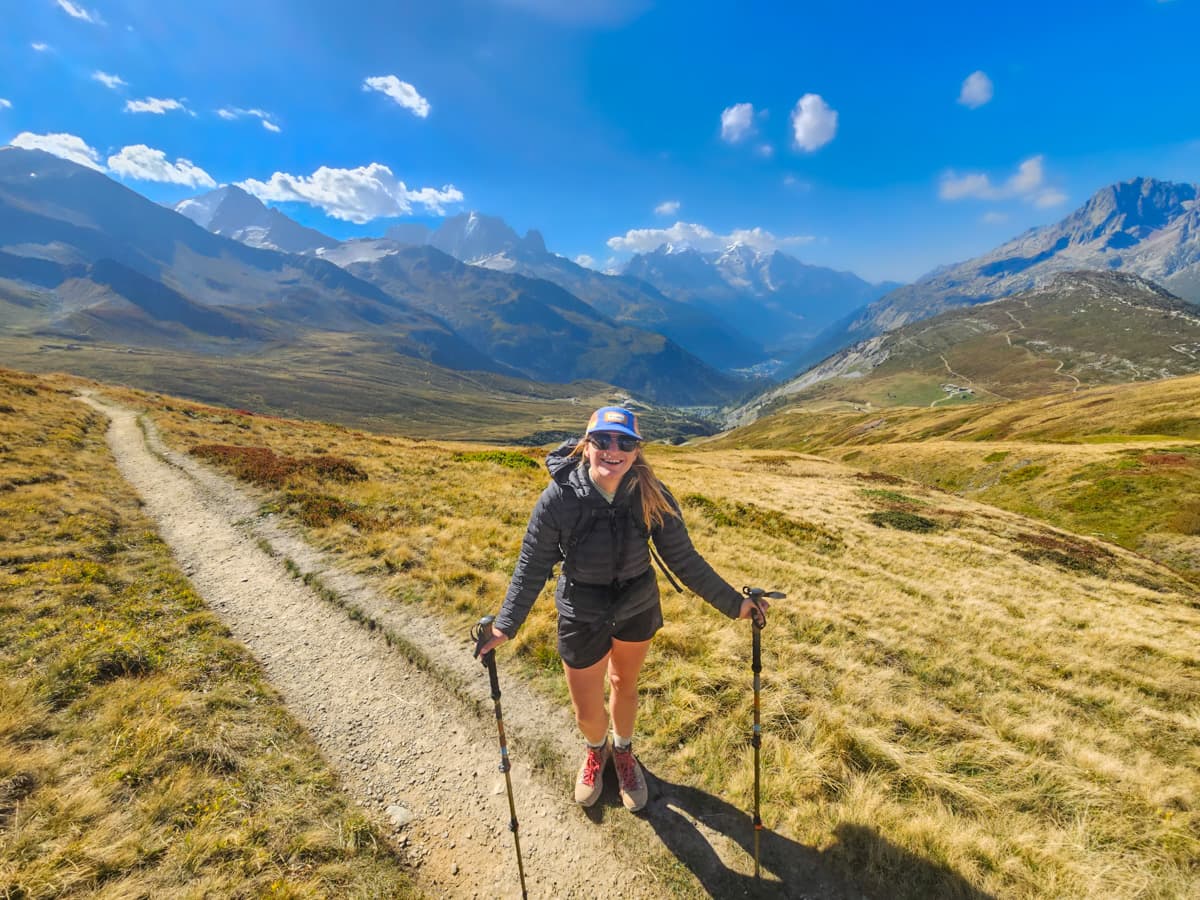
Additionally, be sure to pop into Refuge Col de Balme here—I’m still dreaming about their brownies.
From the pass, the trail continues downhill through Charamillon pastures, with in-your-face views of the Mer de Glace, the largest glacier on Mont Blanc and, actually, in all of France!
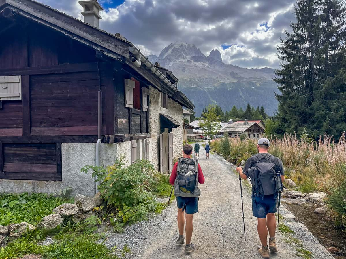
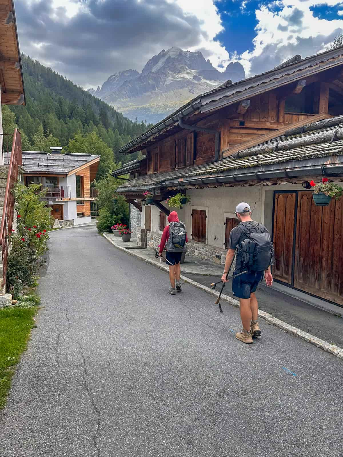
Eventually, you’ll head steeply downhill through forests to the small village of Montroc, filled with traditional wooden chalets, complete with overflowing flowerboxes.
Where to stay the night (hut to hut)
- Option 1: Auberge la Boërne
- Option 2: Gîte Le Moulin. This is where we stayed and LOVED it. I’m only not ranking it as the top option, given that it’s a bit off trail, but it’s the best food we had on the Tour du Mont Blanc, the owners were super sweet, and there were unlimited hot showers!
- Option 3: Hôtel Le Dahu. There are limited accommodations directly in Montroc, but this is just a 6 minute bus ride away in Argentière.
Where to stay the night (camping)
- Option 1: Pierre Semard
- Option 2: Camping du Glacier D’Argentiere
Stage 10: Montroc, France to Flégère Hut, France
- Distance: 7.6 km
- Elevation gain: 823.9 meters
- Trail map
From the small town of Montroc, you’ll quickly start climbing through the forest.
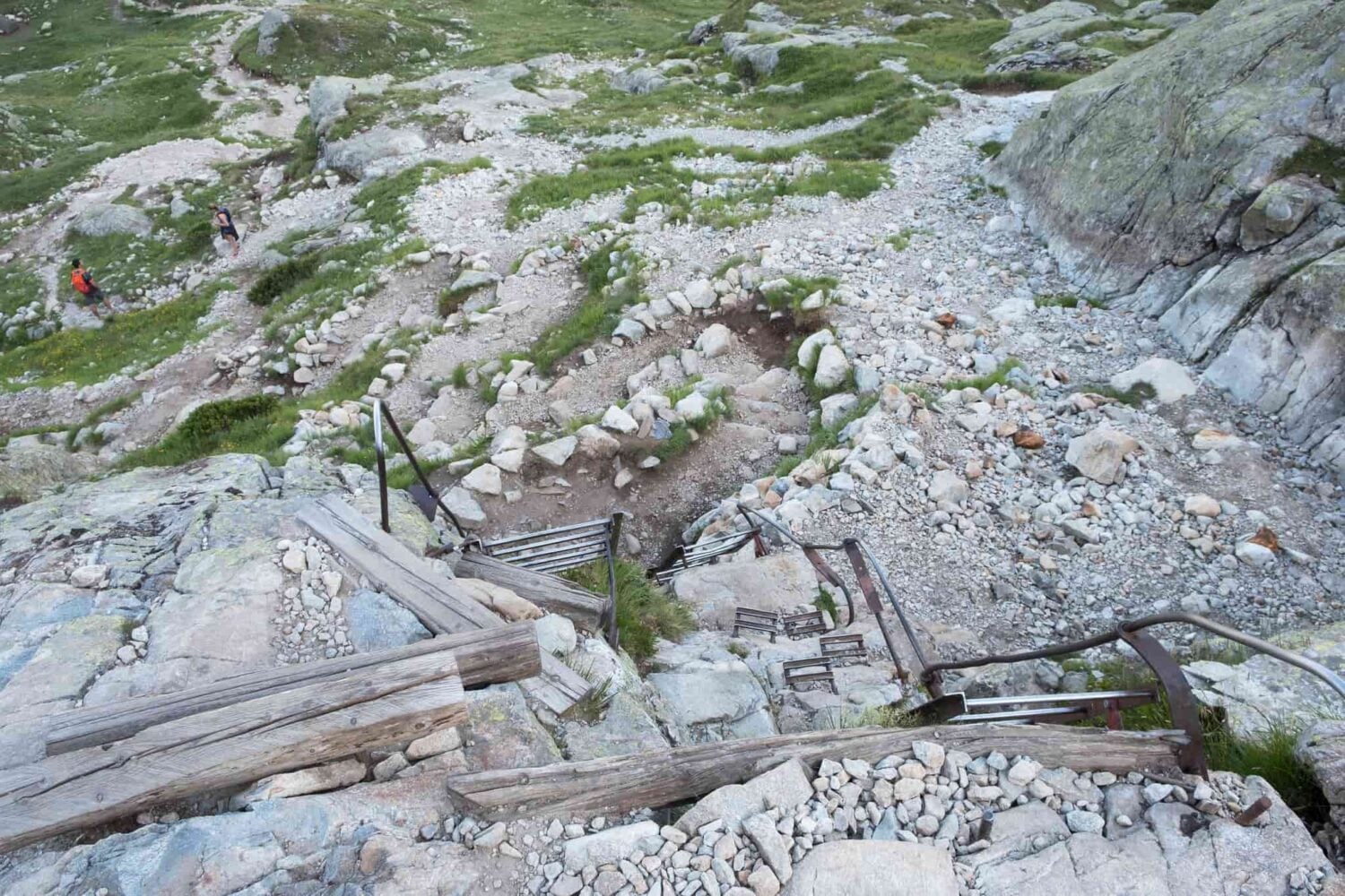
After about an hour of climbing through the trees, you’ll reach the most infamous section of the Tour du Mont Blanc—the ladders! It consists of a series of metal ladders, bolted directly into the granite, that allows you to scale the rock wall. Although it may look intimidating, there really isn’t anything technically challenging about it, so just take it slow and you’ll be fine!
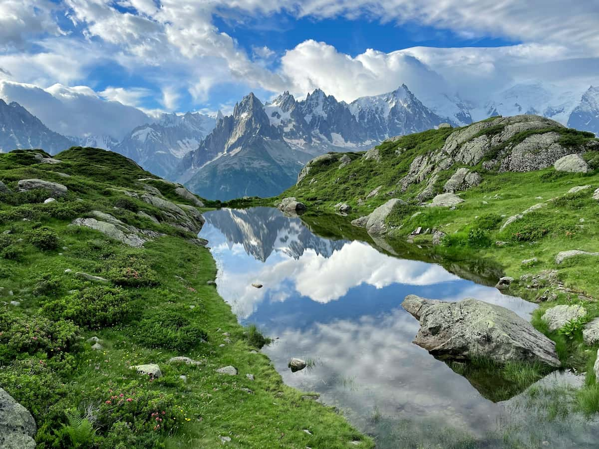
Once you’re 4 km in, you’ll reach a junction. If you follow the path to the left, you’ll head to Lac Blanc, a gorgeous alpine lake that’s a popular day hike from Chamonix and probably the most popular variant of the Tour du Mont Blanc. Alternatively, if you opt for the path straight ahead, you’ll follow the traditional TMB route on a ridgeline along the Grand Balcon Sud to La Flagere.
If you opt to head along the Grand Balcon Sud, the trail slopes gently downward, with unreal views of the Mont Blanc Massif for the next several kilometers, until you reach Flégère Hut, France.
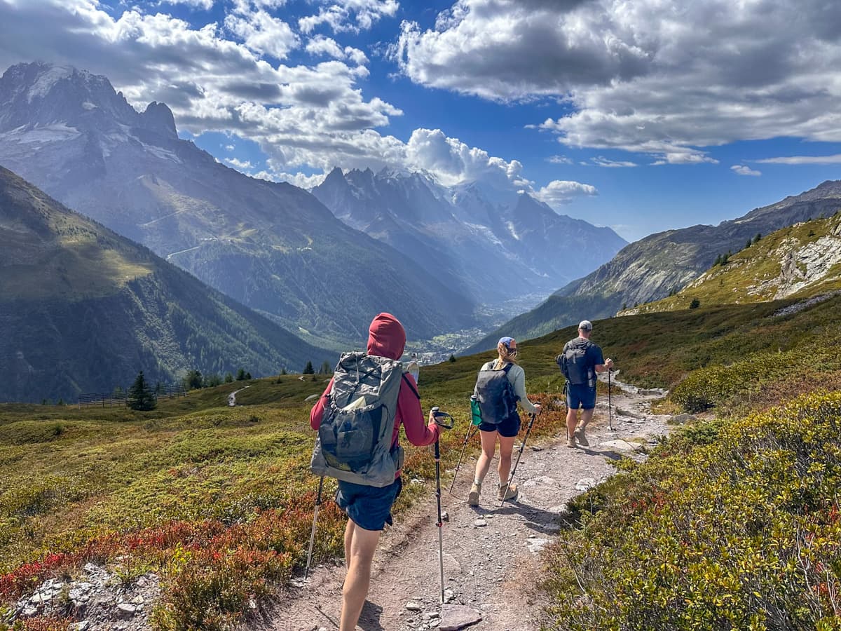
I was REALLY looking forward to the ladders section. While I’m terrified of heights, I love a little bit of technical challenge while hiking and the ladder portion felt like the PERFECT amount of adrenaline-inducing fun.
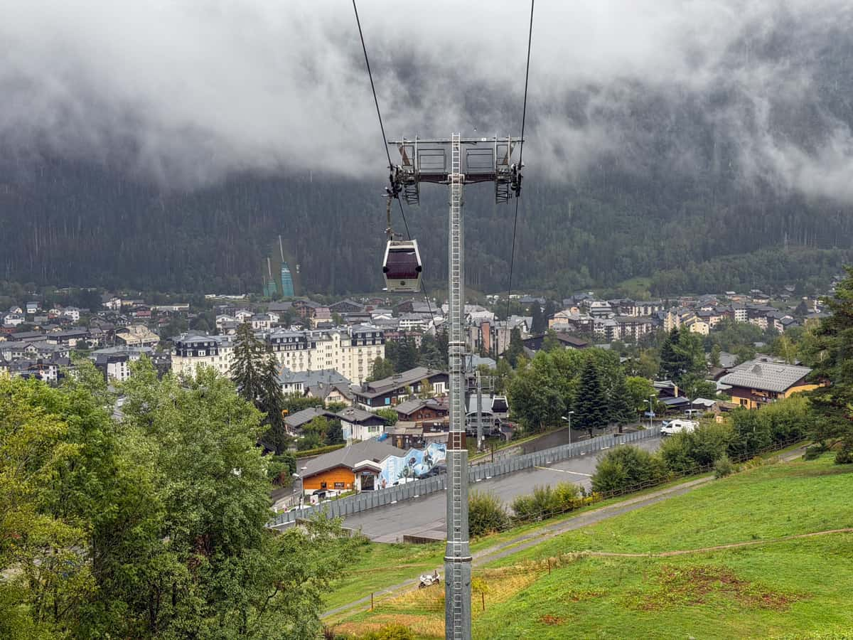
However, on the day that we were supposed to hike Stages 10 and 11 (more on that below), there were extremely thick low-hanging clouds, heavy rain, and scattered thunderstorms. Due to the risk of lightning strikes on exposed mountain ridges (and, frankly, because hiking for 24 km in the cold rain, with nothing but thick clouds for views along the way, didn’t really sound like much fun to us), we opted to skip this section and complete our hike back to Les Houches down through the Chamonix Valley.
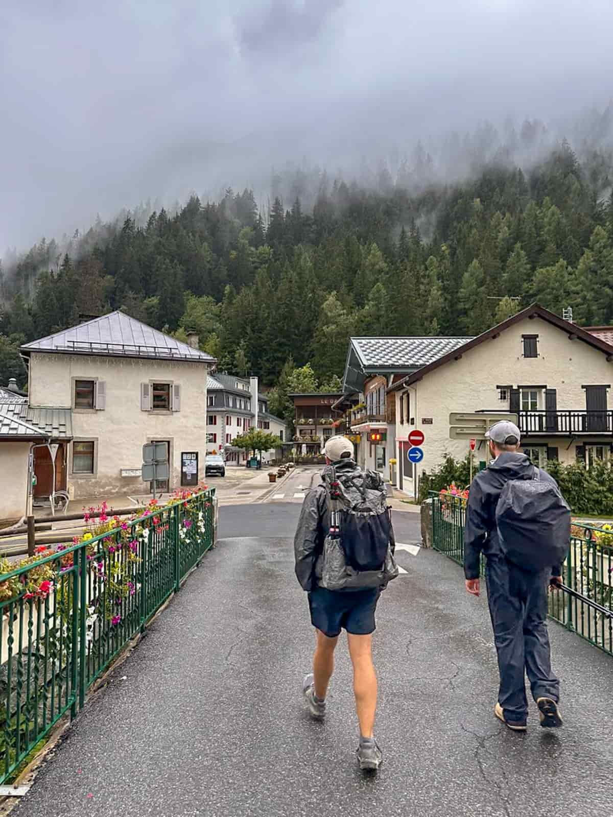
We got SUPER lucky with weather during most of our Tour du Mont Blanc trek, so I really can’t complain. However, I’d be lying if I said it wasn’t a bummer that we had to skip this section, which is supposed to have some of the best views along the trail. I say all this as a friendly reminder that weather can and will impact your trek and to be flexible with your expectations of your TMB experience.
Insider tip: As you might notice, this is, by far, the shortest section of the Tour du Mont Blanc. Accordingly, for hikers without unlimited PTO (or unlimited money), many opt to combine Stages 10 and 11 into one day.

This is exactly what we planned to do (before the rain and storms got in the way). It’s a long and challenging day, with 24.8 km and 1,551 meters of elevation gain, but there are lots of ways to shave off some mileage, such as taking the La Flégère cable car or the Le Brévent Cable Car, down to the Chamonix Valley.
Where to stay the night (hut to hut)
- Option 1: Refuge de La Flégère
- Option 2: Refuge du Lac Blanc, if you opt to do the Lac Blanc variant
- Option 3: Hotel Eden Chamonix. This is located in Chamonix and should only be booked if the other mountain refuges are totally full. If you’re a TMB purist and want to complete the entire trail, you’ll need to take the La Flégère cable car down for the evening and back up again in the morning to complete Stage 11 (I specifically picked this hotel because it’s close to the cable car station).
Where to stay the night (camping)
- Option 1: Refuge de La Flégère, near its small lake (only permitted from sunset to sunrise)
- Option 2: Lacs des Chéserys, if you’re doing the Lac Blanc variant. You are required to make a (free) reservation to camp here.
Both of these options offer wild camping experiences, although, if you opt to camp near Refuge de La Flégère, you can use some of its amenities, like reserving half board there in advance.
Stage 11: Flégère Hut, France to Les Houches, France
- Distance: 17.2 km
- Elevation gain: 727.9 meters
- Trail map
The final day of the TMB—you’re almost there!
The first 2.6 kilometers is fairly flat, following a ridgeline above several ski resorts. While that might sound rather unromantic, you’re hiking above the treeline, meaning you get the same panoramic views of Mont Blanc as you did in the preceding stage.
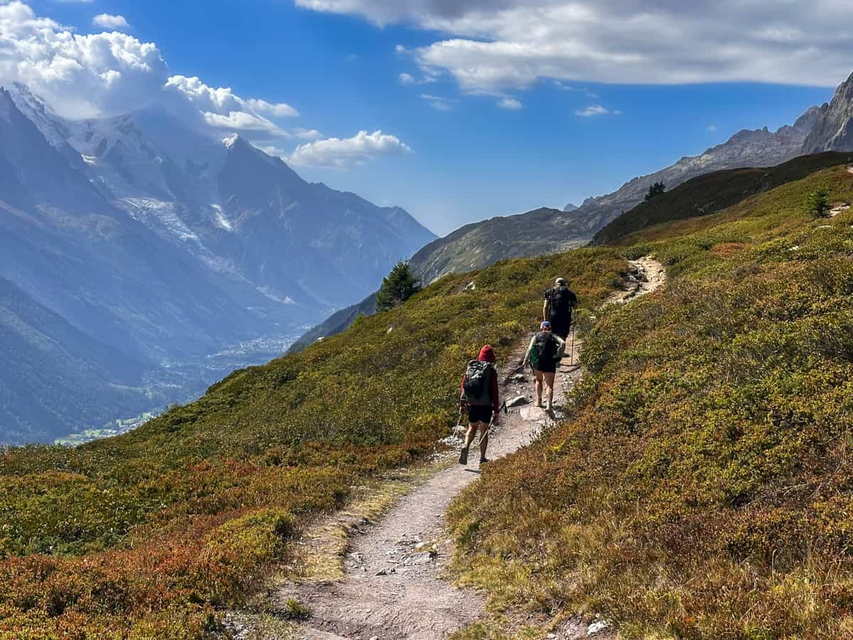
After this flat section, the trail starts to climb uphill along a mountain slope.
If you want to cut down on mileage back to Chamonix, you have a few options in this section: about 5.1 km into your hike at the Planpraz cable car and, again, at 7.7 km in, at the Le Brevent cable car.
If you can swing it, I’d try to push all the way to the Le Brevent station—this is the highest point along this section of the trail, with some of the best views of Mont Blanc and the surrounding peaks of the entire Tour du Mont Blanc.
From here, it’s 9.6 km steep and technical descent back to Les Houches, with the beginning portion being in open fields, with epic vistas and the last several kilometers through a dense larch tree forest.
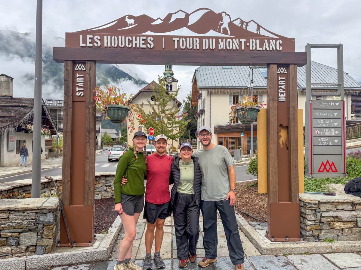
Finally, after 16.4 km, you’ll reach the streets of Les Houches and make your final steps to reach the Tour du Mont Blanc arch, where everything started! Get some wine and pizza to celebrate—YOU DID IT!!!
Where to stay the night:
I’d recommend staying the night in Chamonix, to enjoy some of the city’s bars and restaurants and more luxurious accommodations than what you’ll find along the TMB.
Immediately after we finished the TMB, Justin and I rushed back to Geneva, Switzerland to head on to our next destination. We REALLY regretted having to be super conscious about the time, rushing around on our last day of the TMB, and, instead, wish we had just booked a night in Chamonix to take it easy!
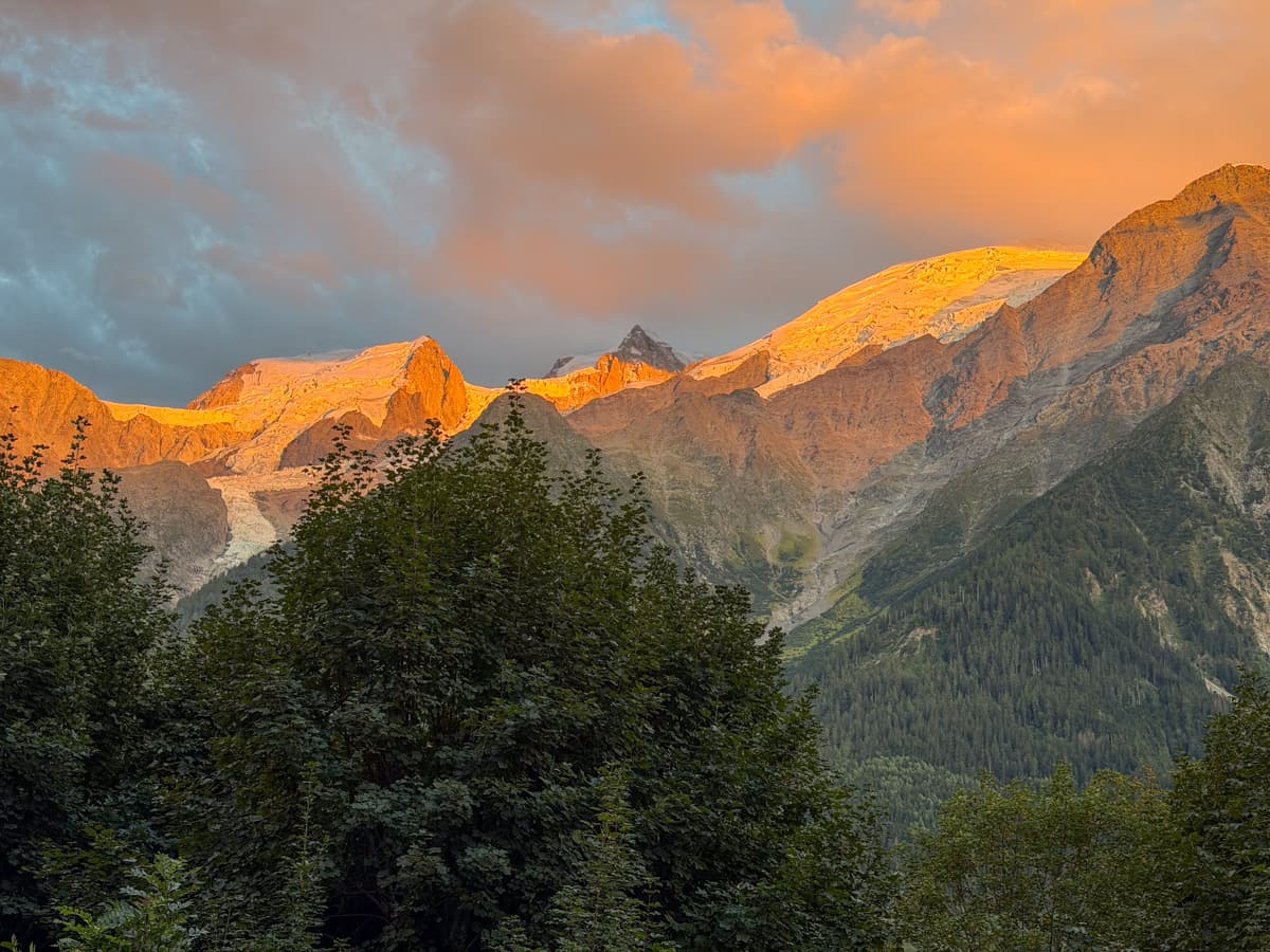
So, with that in mind, I’d recommend:
- Option 1: Chalet Hôtel Le Prieuré & Spa in Chamonix, France. Soak those post-TMB muscles in the hot tub, baby!
- Option 2: Lykke Hôtel & Spa Chamonix in Chamonix, France. Another option with a hot tub!
Suggested Tour du Mont Blanc Itineraries
I know all of that is a LOT of information to take in, so here is the most classic and straightforward itinerary (including days in Chamonix and rest days):
13 day Tour du Mont Blanc Itinerary
- Day 1: Arrive in Chamonix, France
- Stay at Chalet Hôtel Le Prieuré & Spa
- Day 2: Les Houches, France to Les Contamines, France (Stage 1)
- Stay at La Ferme à Piron
- Day 3: Les Contamines, France to Les Chapieux, France (Stage 2)
- Stay at Auberge de la Nova
- Day 4: Les Chapieux, France to Rifugio Elisabetta (Stage 3)
- Stay at Rifugio Elisabetta
- Day 5: Rifugio Elisabetta to Courmayeur, Italy (Stage 4)
- Stay at Hotel Maison Saint Jean
- Day 6: Rest day in Courmayeur, Italy
- Stay at Hotel Maison Saint Jean
- Day 7: Courmayeur, Italy to Rifugio Bonatti, Italy (Stage 5)
- Stay at Rifugio Bonatti
- Day 8: Rifugio Bonatti, Italy to La Fouly, Switzerland (Stage 6)
- Stay at Auberge des Glaciers
- Day 9: La Fouly, Switzerland to Champex-Lac, Switzerland (Stage 7)
- Stay at Auberge Gîte Bon Abri
- Day 10: Champex-Lac, Switzerland to Trient, Switzerland (Stage 8)
- Stay at Auberge du Mont Blanc
- Day 11: Trient, Switzerland to Montroc, France (Stage 9)
- Stay at Auberge la Boërne
- Day 12: Montroc, France to Flégère Hut, France (Stage 10)
- Stay at Refuge de La Flégère
- Day 13: Flégère Hut, France to Les Houches, France (Stage 11)
- Stay at Chalet Hôtel Le Prieuré & Spa
This is a pretty slow pace, with a full rest day, and a few pretty short days, like Days 4 and 12. However, it’s a great option if you have a decent amount of time and want to do the full Tour du Mont Blanc, without burning yourself out.
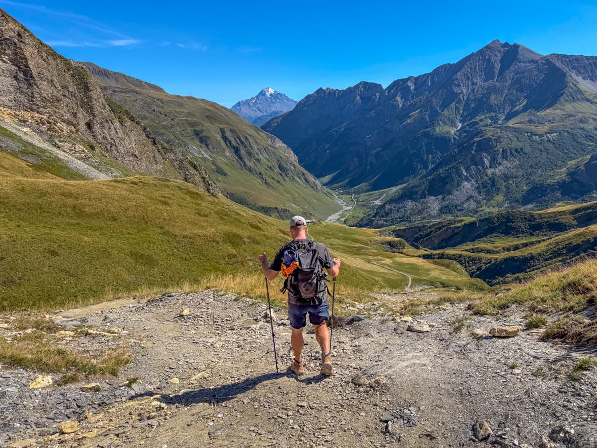
If you don’t have 13 full days to dedicate to the Tour du Mont Blanc, here are some other suggested itineraries, depending on how much time you have.
5 day Tour du Mont Blanc Itinerary
- Day 1: Arrive in Chamonix, France
- Stay at Chalet Hôtel Le Prieuré & Spa
- Day 2: Les Houches, France to Les Contamines, France (Stage 1)
- Stay at La Ferme à Piron
- Day 3: Les Contamines, France to Les Chapieux, France (Stage 2)
- Stay at Auberge de la Nova
- Day 4: Les Chapieux, France to Courmayeur, Italy (Stage 3 and Stage 4)
- Stay at Hotel Maison Saint Jean
- Day 5: Courmayeur, Italy back to Chamonix, France (via bus)
- Stay at Chalet Hôtel Le Prieuré
6 day Tour du Mont Blanc Itinerary
- Day 1: Arrive in Chamonix, France
- Stay at Chalet Hôtel Le Prieuré & Spa
- Day 2: Les Houches, France to Les Contamines, France (Stage 1)
- Stay at La Ferme à Piron
- Day 3: Les Contamines, France to Les Chapieux, France (Stage 2)
- Stay at Auberge de la Nova
- Day 4: Les Chapieux, France to Rifugio Elisabetta, Italy (Stage 3)
- Stay at Rifugio Elisabetta
- Day 5: Rifugio Elisabetta, Italy to Courmayeur, Italy (Stage 4)
- Stay at Hotel Maison Saint Jean
- Day 6: Courmayeur, Italy back to Chamonix, France (via bus)
- Stay at Chalet Hôtel Le Prieuré & Spa
7 day Tour du Mont Blanc Itinerary
- Day 1: Arrive in Chamonix, France and take the regional train to Trient, Switzerland
- Stay at Auberge du Mont Blanc
- Day 2: Trient, Switzerland to Montroc, France (Stage 9)
- Stay at Auberge la Boërne
- Day 3: Montroc, France to Les Houches, France (Stage 10 and Stage 11)
- Stay at RockyPop Chamonix
- Day 4: Les Houches, France to Les Contamines, France (Stage 1)
- Stay at La Ferme à Piron
- Day 5: Les Contamines, France to Les Chapieux, France (Stage 2)
- Stay at Auberge de la Nova
- Day 6: Les Chapieux, France to Courmayeur, Italy (Stage 3 and Stage 4)
- Stay at Hotel Maison Saint Jean
- Day 7: Courmayeur, Italy back to Chamonix, France (via bus)
- Stay at Chalet Hôtel Le Prieuré & Spa
8 day Tour du Mont Blanc Itinerary
- Day 1: Arrive in Chamonix, France and take the regional train to Trient, Switzerland
- Stay at Auberge du Mont Blanc
- Day 2: Trient, Switzerland to Montroc, France (Stage 9)
- Stay at Auberge la Boërne
- Day 3: Montroc, France to Les Houches, France (Stage 10 and Stage 11)
- Stay at RockyPop Chamonix
- Day 4: Les Houches, France to Les Contamines, France (Stage 1)
- Stay at La Ferme à Piron
- Day 5: Les Contamines, France to Les Chapieux, France (Stage 2)
- Stay at Auberge de la Nova
- Day 6: Les Chapieux, France to Rifugio Elisabetta (Stage 3)
- Stay at Rifugio Elisabetta
- Day 7: Rifugio Elisabetta to Courmayeur, Italy (Stage 4)
- Stay at Hotel Maison Saint Jean
- Day 8: Courmayeur, Italy back to Chamonix, France (via bus)
- Stay at Chalet Hôtel Le Prieuré & Spa
Another alternative option would be:
- Day 1: Arrive in Chamonix, France and take the regional train to Trient, Switzerland
- Stay at Auberge du Mont Blanc
- Day 2: Trient, Switzerland to Montroc, France (Stage 9)
- Stay at Auberge la Boërne
- Day 3: Montroc, France to Les Houches, France (Stage 10 and Stage 11)
- Stay at RockyPop Chamonix
- Day 4: Les Houches, France to Les Contamines, France (Stage 1)
- Stay at La Ferme à Piron
- Day 5: Les Contamines, France to Les Chapieux, France (Stage 2)
- Stay at Auberge de la Nova
- Day 6: Les Chapieux, France to Courmayeur, Italy (Stage 3 and Stage 4)
- Stay at Hotel Maison Saint Jean
- Day 7: Courmayeur, Italy to Rifugio Bonatti, Italy (Stage 5)
- Stay at Rifugio Bonatti
- Day 8: Hike back down into the Val Ferret; take the bus back to Courmayeur, Italy; and catch the bus back to Chamonix, France
- Stay at Chalet Hôtel Le Prieuré & Spa
9 day Tour du Mont Blanc Itinerary
- Day 1: Arrive in Chamonix, France
- Stay at Chalet Hôtel Le Prieuré & Spa
- Day 2: Les Houches, France to Les Contamines, France (Stage 1)
- Stay at La Ferme à Piron
- Day 3: Les Contamines, France to Les Chapieux, France (Stage 2)
- Stay at Auberge de la Nova
- Day 4: Les Chapieux, France to Courmayeur, Italy (Stage 3 and Stage 4)
- Stay at Hotel Maison Saint Jean
- Day 5: Rest day in Courmayeur, Italy
- Day 6: Courmayeur, Italy to Rifugio Bonatti, Italy (Stage 5)
- Stay at Rifugio Bonatti
- Day 7: Rifugio Bonatti, Italy to Trient, Switzerland. To do this, you can hike most of Stage 6 and then take a taxi or a dizzying series of public transportation from Ferret to bypass Stage 7 and 8 altogether (if you’re interested in public transit, you’d have to catch a series of buses, first, from Ferret to Champex-Lac and then, from Champex-Lac to Orsières; take a train from Orsières to Col de la Forclaz; and, finally, either walk the rest of the way or take a bus to Trient, Switzerland).
- Stay at Auberge du Mont Blanc
- Day 8: Trient, Switzerland to Montroc, France (Stage 9)
- Stay at Auberge la Boërne
- Day 9: Montroc, France to Les Houches, France (Stage 10 and Stage 11)
- Stay at Chalet Hôtel Le Prieuré & Spa
10 day Tour du Mont Blanc Itinerary
- Day 1: Arrive in Chamonix, France
- Stay at Chalet Hôtel Le Prieuré & Spa
- Day 2: Les Houches, France to Les Contamines, France (Stage 1)
- Stay at La Ferme à Piron
- Day 3: Les Contamines, France to Les Chapieux, France (Stage 2)
- Stay at Auberge de la Nova
- Day 4: Les Chapieux, France to Courmayeur, Italy (Stage 3 and Stage 4)
- Stay at Hotel Maison Saint Jean
- Day 5: Rest day in Courmayeur, Italy
- Stay at Hotel Maison Saint Jean
- Day 6: Courmayeur, Italy to La Fouly, Switzerland (Stage 5 and Stage 6). This would be a LONG day, so I’d suggest using public transit to lessen some of the distance and elevation gain!
- Stay at Auberge des Glaciers
- Day 7: La Fouly, Switzerland to Champex-Lac, Switzerland (Stage 7)
- Stay at Auberge Gîte Bon Abri
- Day 8: Champex-Lac, Switzerland to Trient, Switzerland (Stage 8)
- Stay at Auberge du Mont Blanc
- Day 9: Trient, Switzerland to Montroc, France (Stage 9)
- Stay at Auberge la Boërne
- Day 10: Montroc, France to Les Houches, France (Stage 10 and Stage 11)
- Stay at Chalet Hôtel Le Prieuré & Spa
11 day Tour du Mont Blanc Itinerary (this is the exact itinerary we did!)
- Day 1: Arrive in Chamonix, France
- Stay at Chalet Hôtel Le Prieuré & Spa
- Day 2: Les Houches, France to Les Contamines, France (Stage 1)
- Stay at La Ferme à Piron
- Day 3: Les Contamines, France to Les Chapieux, France (Stage 2)
- Stay at Auberge de la Nova
- Day 4: Les Chapieux, France to Courmayeur, Italy (Stage 3 and Stage 4)
- Stay at Hotel Maison Saint Jean
- Day 5: Rest day in Courmayeur, Italy
- Stay at Hotel Maison Saint Jean
- Day 6: Courmayeur, Italy to Rifugio Bonatti, Italy (Stage 5)
- Stay at Rifugio Bonatti
- Day 7: Rifugio Bonatti, Italy to La Fouly, Switzerland (Stage 6)
- Stay at Auberge des Glaciers
- Day 8: La Fouly, Switzerland to Champex-Lac, Switzerland (Stage 7)
- Stay at Auberge Gîte Bon Abri
- Day 9: Champex-Lac, Switzerland to Trient, Switzerland (Stage 8)
- Stay at Auberge du Mont Blanc
- Day 10: Trient, Switzerland to Montroc, France (Stage 9)
- Stay at Auberge la Boërne
- Day 11: Montroc, France to Les Houches, France (Stage 10 and Stage 11)
- Stay at Chalet Hôtel Le Prieuré & Spa
12 day Tour du Mont Blanc Itinerary
- Day 1: Arrive in Chamonix, France
- Stay at Chalet Hôtel Le Prieuré & Spa
- Day 2: Les Houches, France to Les Contamines, France (Stage 1)
- Stay at La Ferme à Piron
- Day 3: Les Contamines, France to Les Chapieux, France (Stage 2)
- Stay at Auberge de la Nova
- Day 4: Les Chapieux, France to Rifugio Elisabetta (Stage 3)
- Stay at Rifugio Elisabetta
- Day 5: Rifugio Elisabetta to Courmayeur, Italy (Stage 4)
- Stay at Hotel Maison Saint Jean
- Day 6: Rest day in Courmayeur, Italy
- Stay at Hotel Maison Saint Jean
- Day 7: Courmayeur, Italy to Rifugio Bonatti, Italy (Stage 5)
- Stay at Rifugio Bonatti
- Day 8: Rifugio Bonatti, Italy to La Fouly, Switzerland (Stage 6)
- Stay at Auberge des Glaciers
- Day 9: La Fouly, Switzerland to Champex-Lac, Switzerland (Stage 7)
- Stay at Auberge Gîte Bon Abri
- Day 10: Champex-Lac, Switzerland to Trient, Switzerland (Stage 8)
- Stay at Auberge du Mont Blanc
- Day 11: Trient, Switzerland to Montroc, France (Stage 9)
- Stay at Auberge la Boërne
- Day 12: Montroc, France to Les Houches, France (Stage 10 and Stage 11)
- Stay at Chalet Hôtel Le Prieuré & Spa
14 day Tour du Mont Blanc itinerary
- Day 1: Arrive in Chamonix, France
- Stay at Chalet Hôtel Le Prieuré & Spa
- Day 2: Les Houches, France to Les Contamines, France (Stage 1)
- Stay at La Ferme à Piron
- Day 3: Les Contamines, France to Les Chapieux, France (Stage 2)
- Stay at Auberge de la Nova
- Day 4: Les Chapieux, France to Rifugio Elisabetta (Stage 3)
- Stay at Rifugio Elisabetta
- Day 5: Rifugio Elisabetta to Courmayeur, Italy (Stage 4)
- Stay at Hotel Maison Saint Jean
- Day 6: Rest day in Courmayeur, Italy
- Stay at Hotel Maison Saint Jean
- Day 7: Courmayeur, Italy to Rifugio Bonatti, Italy (Stage 5)
- Stay at Rifugio Bonatti
- Day 8: Rifugio Bonatti, Italy to La Fouly, Switzerland (Stage 6)
- Stay at Auberge des Glaciers
- Day 9: La Fouly, Switzerland to Champex-Lac, Switzerland (Stage 7)
- Stay at Auberge Gîte Bon Abri
- Day 10: Rest day in Champex-Lac, Switzerland
- Stay at Auberge Gîte Bon Abri
- Day 11: Champex-Lac, Switzerland to Trient, Switzerland (Stage 8)
- Stay at Auberge du Mont Blanc
- Day 12: Trient, Switzerland to Montroc, France (Stage 9)
- Stay at Auberge la Boërne
- Day 13: Montroc, France to Flégère Hut, France (Stage 10)
- Day 14: Flégère Hut, France to Les Houches, France (Stage 11)
- Stay at Chalet Hôtel Le Prieuré & Spa
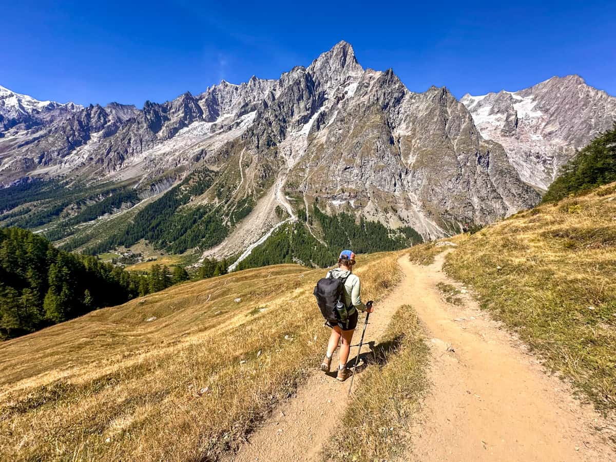
As you can probably tell, there are literally INFINITE options for you to pick and choose where you start, sections of the trail you can combine, or skip altogether with public transit.
If you combine stages, just make sure the distance and elevation gain is doable (or that you’ve planned ahead to use public transit or taxis).
We met a handful of people on the Tour du Mont Blanc who were trying to complete the entire trail in as little as six days and all of the hikers wound up quitting the trek, because it just wasn’t physically possible for them. Remember that the Tour du Mont Blanc is supposed to be a fun challenge, not a torturous slog.
When to hike the Tour du Mont Blanc
The best time to hike the Tour du Mont Blanc is from early July to mid-September, when the trail is mostly snow and ice-free.
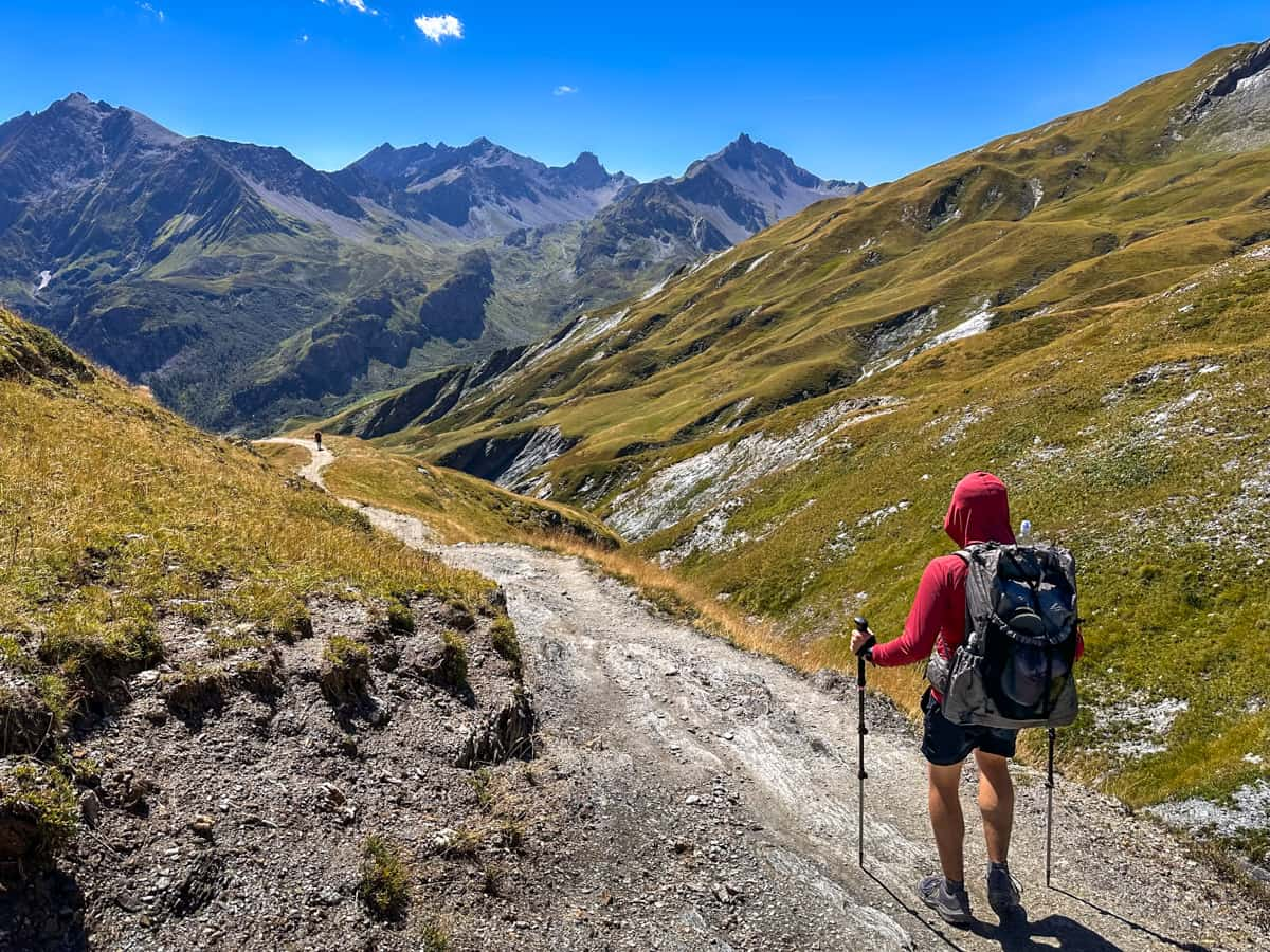
This is also effectively the only time you can hike the TMB, given that most refuges, campgrounds, and public transit only operate during this window (although some services open a bit earlier, like mid-June and close at the end of September).
On either side of this window, the trail can have anything from large snowfields, covering the mountain passes, to dangerous snowstorms and avalanches.
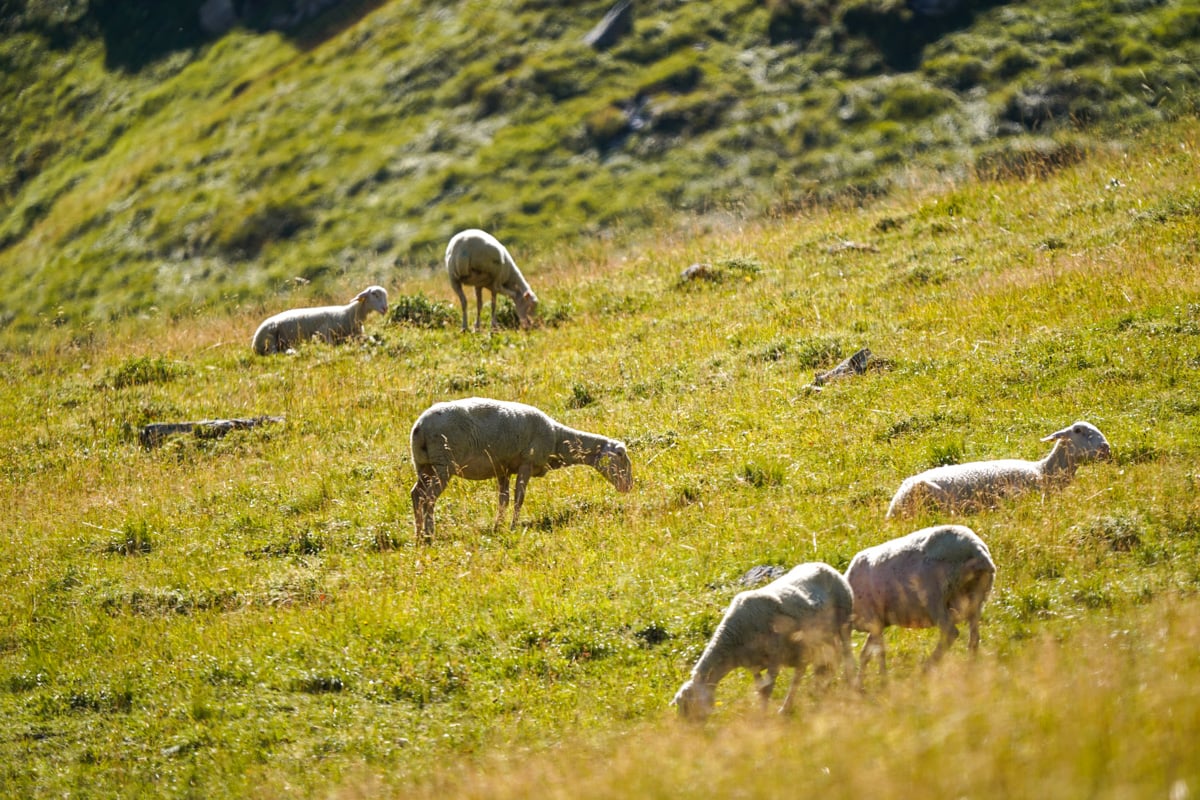
We hiked the trail in early September and thought it was PERFECT. It wasn’t too terribly crowded, it was usually pleasantly warm, and we got to see tons of livestock, like sheep, goats, and cows, along the trail (which, apparently, are less commonly seen in the hotter months).
How to Book Refuges for Your Tour du Mont Blanc Itinerary
Tour du Mont Blanc Mountain Hut Reservations Process
So, after reading this whole beefy article, you know what Tour du Mont Blanc itinerary you want to follow, you have an idea of which refuges (and backup options) you want to book along the way, and your target dates of when you want to do the hike.
But, how do you actually go about booking refuges?
You can book most Tour du Mont Blanc refuges through the official Tour du Mont Blanc website.
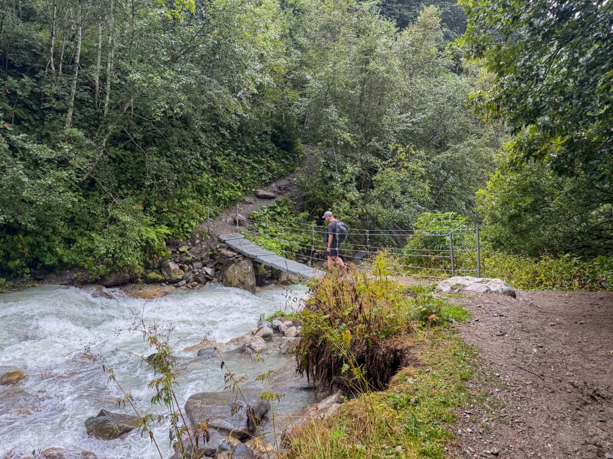
Reservations generally open on October 15 at midnight French time, with thousands of people queuing up online to book their reservations at this time. I would strongly recommend creating an online account before that date and being on the website at this time (or a few minutes beforehand) to have the best chance of getting your desired dates and accommodations, especially if you have strict dates that you need to stick to or are hiking with a larger group.
The process is definitely chaotic—you’re usually put into some kind of virtual waiting room and may have to wait a couple of hours (or longer) to actually reach the reservations platform. However, if you’re online right as the reservations are released, you have a moderately good chance of getting reservations at most of your desired refuges (or your backup options).
Refuges that cannot be booked through the Tour du Mont Blanc website
It’s important to note that not all mountain refuges can be booked through the official Tour du Mont Blanc website and, instead, need to be booked directly through the hut itself.
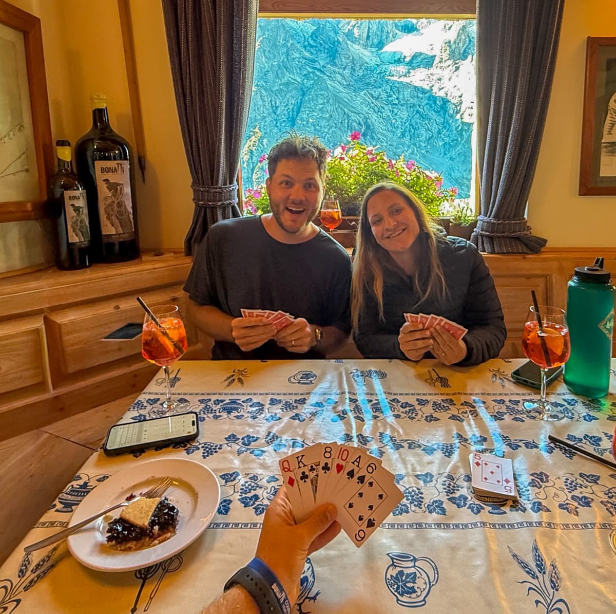
Here are the most notable ones:
Rifugio Elisabetta
Send them a booking request at info@rifugioelisabetta.com
Cabane du Combal
Send them a booking request at cabaneducombal@gmail.com
Rifugio Bonatti
Send them a booking request here
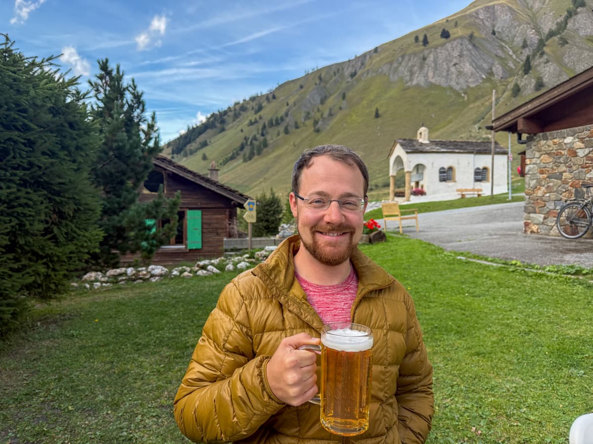
Rifugio Elena
There is a booking platform available on their homepage.
Refuge de La Flégère
There is a booking platform available on their homepage.
Refuge Lac Blanc
There is a booking platform available on their homepage.
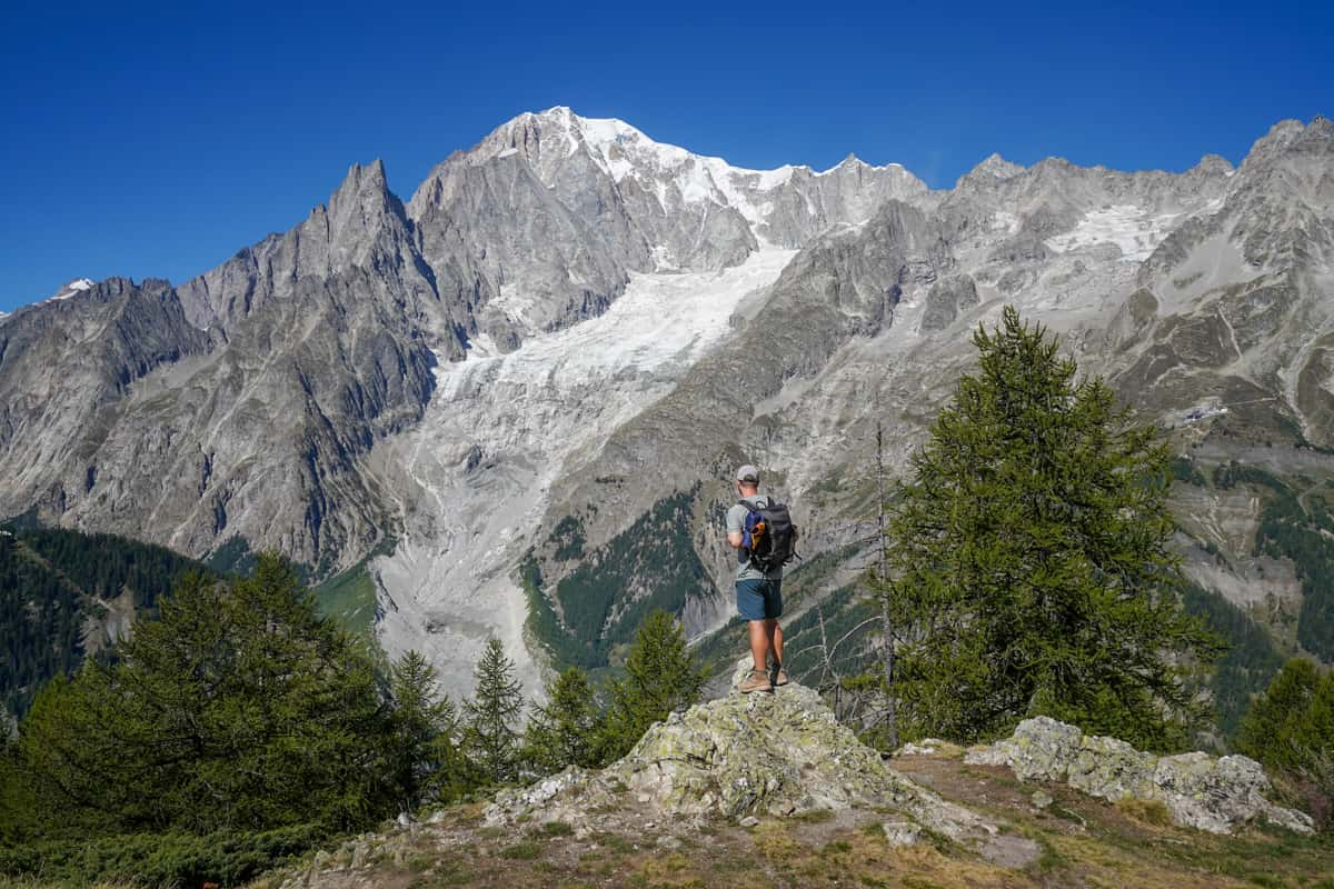
These huts do not have official reservations release dates, but I’d suggest reaching out to them early to mid-October of the year before your hike to try to secure a reservation.
Additionally, a handful of accommodations, like Auberge du Mont Blanc or some of the accommodation options in Bourg-Saint Maurice, like Hostellerie du Petit Saint Bernard, are available to be booked on third party sites.
What if my desired hut is all booked up?
If the hut of your choosing is all booked up for your dates, I’d suggest checking to see whether the back-up accommodations options (which I suggested above!) have any availability.
If they don’t, don’t panic!
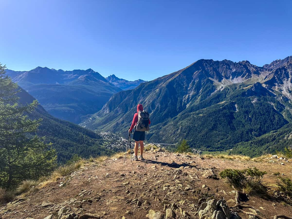
You can continue monitoring the Tour du Mont Blanc site to see if the refuge has any cancellations, which happen all the time. Our group of four was only able to get reservations at Refuge de la Nova for three people, initially, but, by stalking the TMB website for a few days, were able to easoly pick up an extra bed for the night.
There are also a number of services that will alert you if an opening on your desired dates pop up, like TMB Alerts or TMB Accommodation Alerts, so you can snag a reservation as soon as they become available.
Booking services
It bears mentioning that many hikers opt to use a booking service, which takes care of planning their itinerary and making reservations at huts.
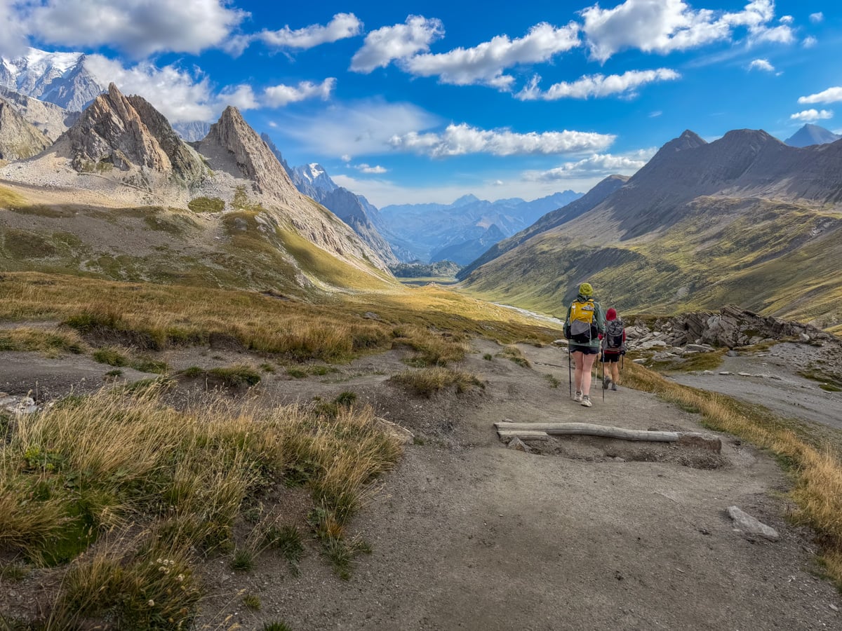
Of course, you pay a premium for this service—by booking things ourselves, we paid around $850 USD per person in total for our room and board along the trail, whereas most booking services start around $1800 USD per person and go WAY up from there. However, if you find the process too overwhelming or confusing, paying someone else to worry about the logistics for you might be worth it!
Since we booked the Tour du Mont Blanc ourselves, we don’t have personal experiences with any of these booking companies, but we anecdotally have heard positive things about Pygmy Elephant and Mac’s Adventure.
Phew—I know that’s a TON of information, but that’s pretty much everything you need to know about planning and booking your Tour du Mont Blanc itinerary. Do you have any questions about hiking this epic trek? Let us know in the comments below!
