

The Tour du Mont Blanc is one of the most popular multi-day hikes in Europe and one of the most iconic treks on the entire planet. The beloved trail loops 171 kilometers (106 miles) through France, Switzerland, and Italy, circumnavigating Mont Blanc, the tallest mountain in the Alps. Along the way, you climb through picturesque pastures with Swiss cows, meander through fairytale villages, and, of course, get the opportunity to try some of the most delicious food in Europe, from fresh baked focaccia to heart rosti.
However, there’s a LOT to know about hiking the Tour du Mont Blanc, from planning your day-to-day itinerary to figuring out how to go to the bathroom along the trail. My husband, Justin, and I recently planned our Tour du Mont Blanc hike and had a zillion questions before we actually hiked it—how much water do we need to bring? What’s the shower situation going to be like? Will we have access to cell service along the trail?
After completing the entire trek, we put together this guide about hiking the Tour du Mont Blanc, with everything you need to know to plan and successfully complete this once-in-a-lifetime adventure.
This post may contain affiliate links. If you make a purchase through them, we may receive a small commission, for which we are extremely grateful, at no extra cost to you.
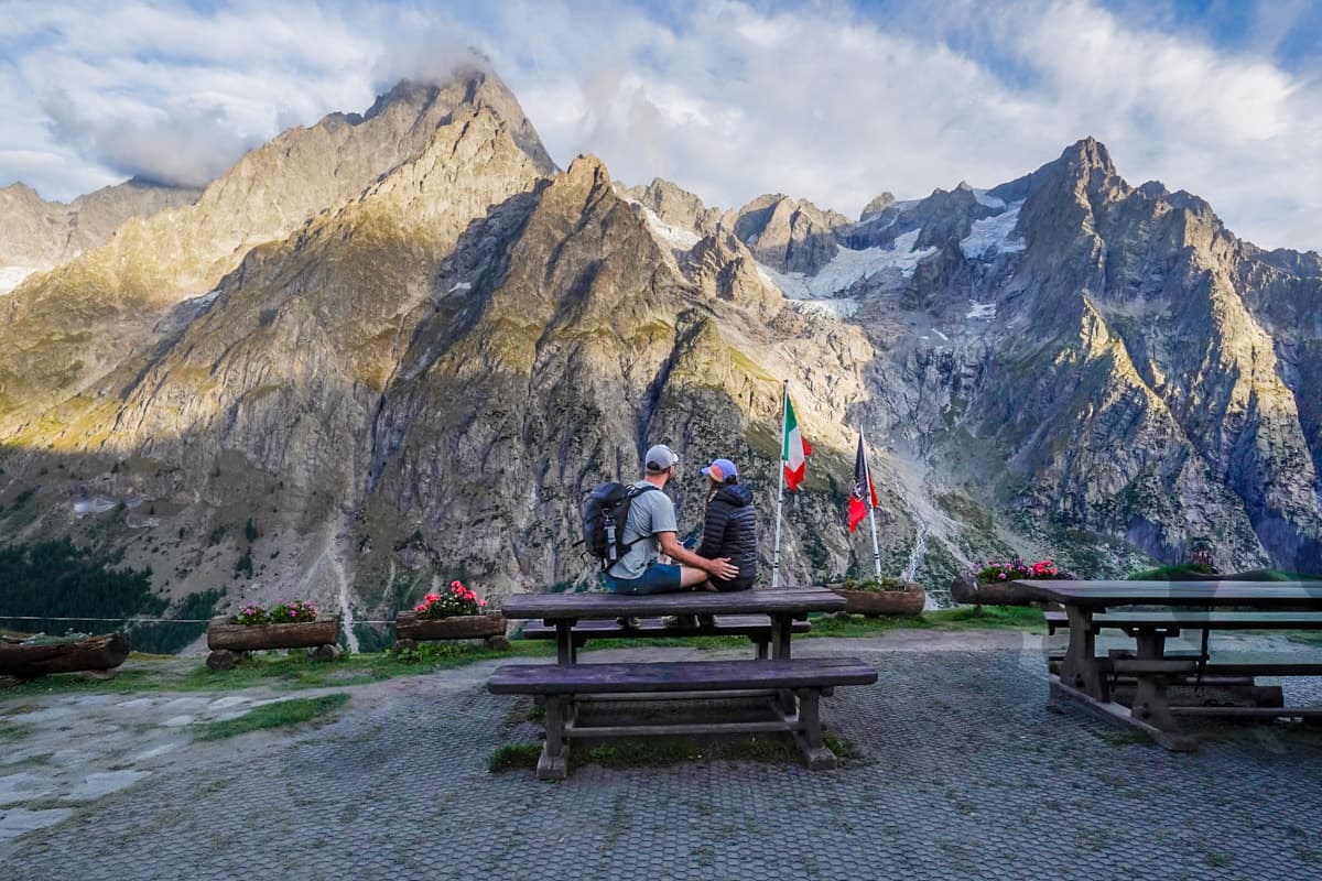

Hiking the Tour du Mont Blanc
The Tour du Mont Blanc hike at a glace
As mentioned above, the Tour du Mont Blanc hike (also called the “TMB”) is a multi-day trek, typically hiked over the course of 11 days, that loops through the Alps of Italy, Switzerland, and France.
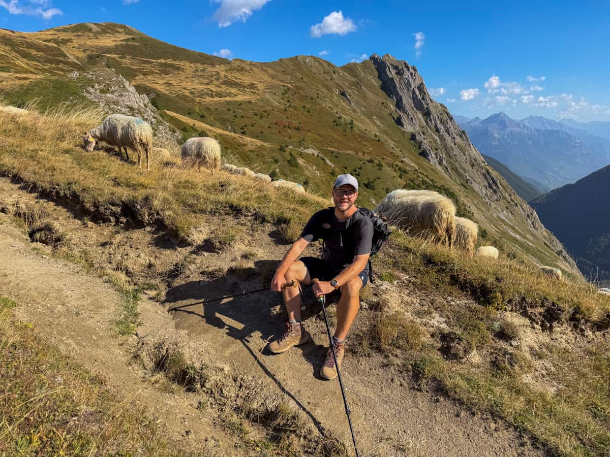
Here are the stats of the Tour du Mont Blanc at a glance:
- Length: 171 kilometers (106 miles)
- Elevation gain: 10,493 meters (34,425 feet)
- Difficulty: Hard
- Trail map
Where do you start and end the Tour du Mont Blanc?
The most popular place to start and end the Tour du Mont Blanc—and where we personally started and ended our hike—is the small town of Les Houches, right next to the famous resort city of Chamonix, France.
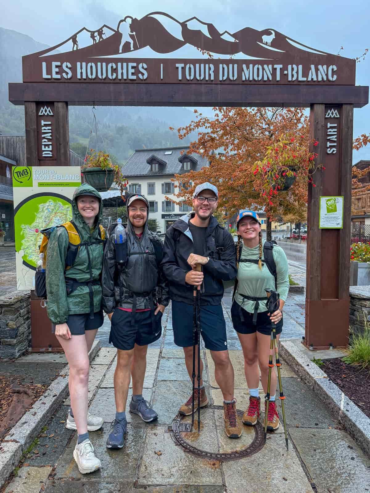
This is where the Tour du Mont Blanc starting archway is located, as well as where the 11 official stages of the TMB (i.e., the traditional starting and ending points for each 11 days of the hike) start and end.
Plus, Les Houches (via its proximity to Chamonix) is easily accessible via bus from Geneva, Switzerland, which has the closest international airport, and there are lots of hotels, restaurants, and hiking outfitters in and around Chamonix, if you need to pick up any last minute gear for your hike.
However, a small percentage of hikers start and end their hikes in different spots.
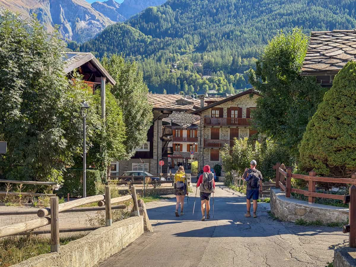
The second most popular option is Courmayeur, Italy, which has a selection of hotels, restaurants, and outfitters (although more limited than Chamonix) and can be a good option if you’re traveling from Milan or Turin, Italy.
Alternatively, some hikers opt to start in Champex-Lac, Switzerland, which has a handful of restaurants and grocery stores (although, way more limited than either Chamonix or Courmayeur) and may be easier to reach from Zurich or Basel.
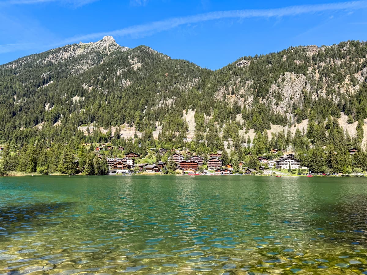
To be honest, I personally wouldn’t recommend starting here, given you may have a hard time fulfilling any last minute gear needs that might pop up. Plus, the Tour du Mont Blanc section immediately after Champex-Lac is one of my least favorite along the trail (not a great way to start!).
Should you hike the Tour du Mont Blanc clockwise or counter clockwise?
It’s estimated that around 90% of hikers—including us!—opt to hike the Tour du Mont in a counterclockwise loop.
We’re generally really happy that we chose to hike this way. Many of the challenging uphill climbs are more gradual in this direction; you’re hiking the Tour du Mont Blanc with the flow of traffic, instead of against it; and you get to see the same people over and over again at refuges each night, which makes it easier to make friends along the trail.
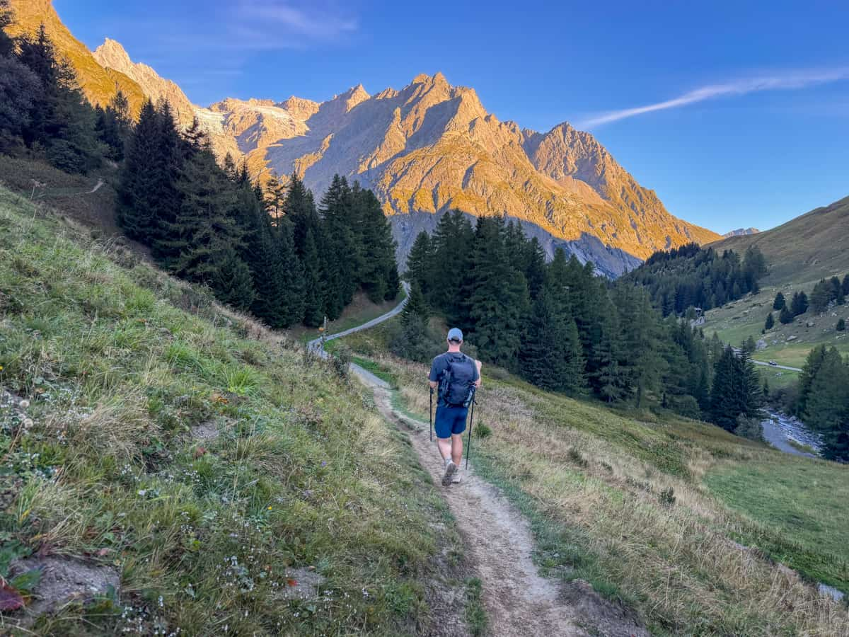
I do think hiking clockwise has some advantages, though. For example, if you start in Les Houches and hike clockwise, you’re saving the most spectacular part of the trail—the section between Courmayeur, Italy and Chamonix, France—for last.
Additionally, the trail may feel less busy, as you can more easily avoid the large waves of hikers who all leave the mountain refuges to start hiking around the same time. We met a slightly antisocial couple from Alaska, who specifically opted to hike the TMB clockwise for this very reason, and they were super happy with their choice!
How hard is hiking the Tour du Mont Blanc?
The Tour du Mont Blanc is definitely physically challenging, due to the trail’s long distance and the demanding elevation gain and loss, day after day. Certain factors can make it even more tough, like if you’re carrying heavy camping gear or if you’re trying to complete the TMB on a more ambitious schedule than the traditional 11 stages.
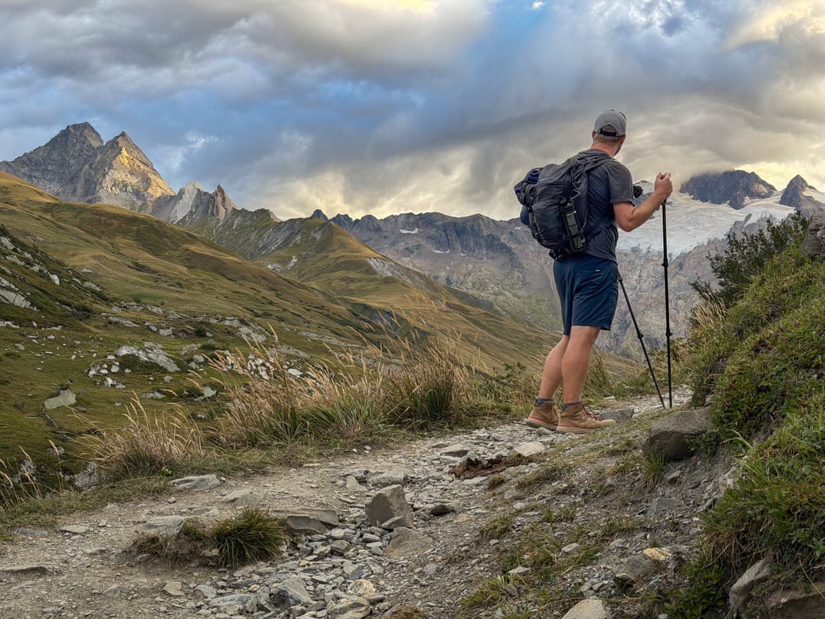
Still, I think it’s doable for most people in relatively decent shape, as there’s nothing technically challenging about it.
If you can hike for six hours straight, gaining about 1,000 meters of elevation, with your backpack weight on AND still feel like you can do it again the next day, you are probably in decent enough shape to tackle hiking the Tour du Mont Blanc.
Plus, there are ways to make the trail easier, if necessary, like luggage transfer services to carry your bags or public transit to shave off some distance or elevation gain.
Is altitude an issue along the Tour du Mont Blanc?
Generally speaking, no, altitude is not an issue along the Tour du Mont Blanc.
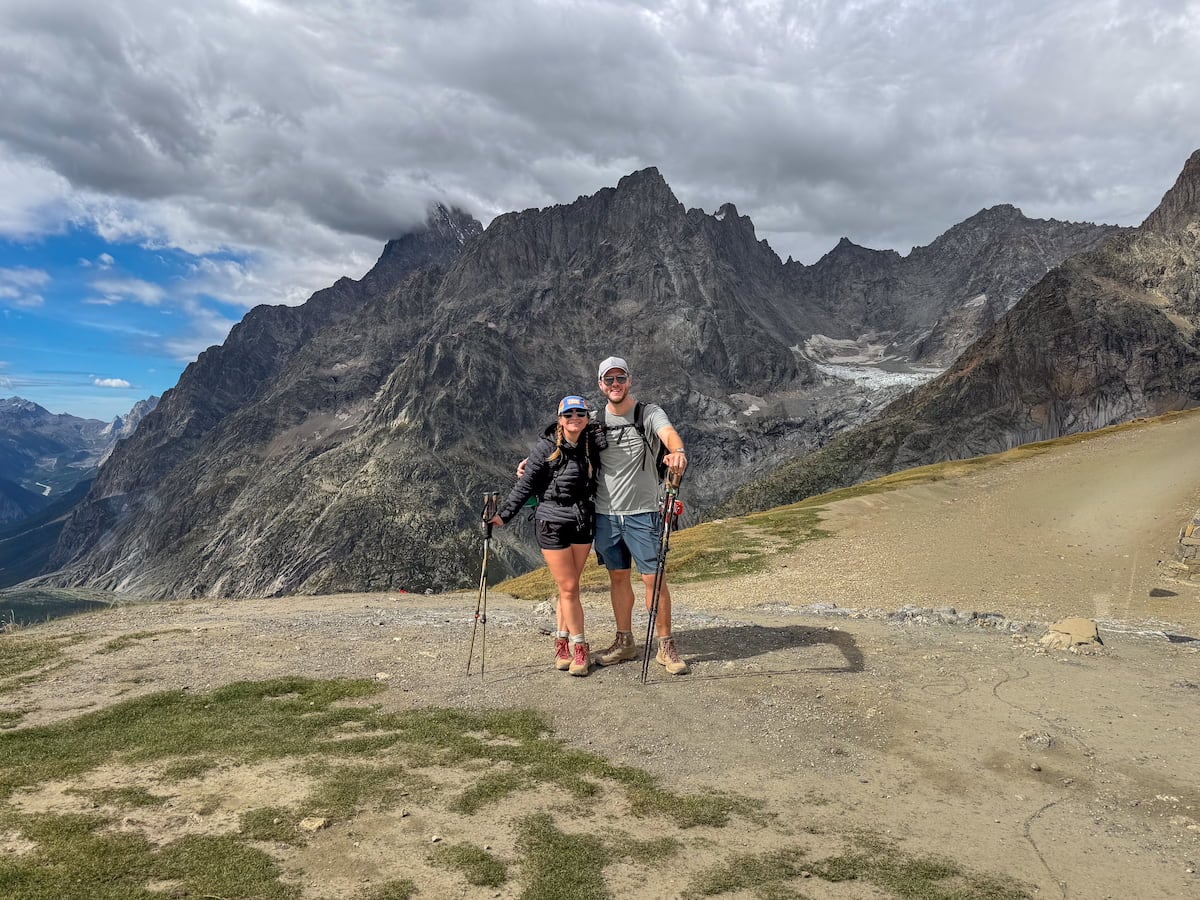
Most of the hike covers terrain that sits between 1,000 meters (3,280 feet) and 2,000 meters (6,560 feet), which generally is too low to cause material physical impacts.
The highest point along the trail is the Grand Col Ferret (the pass that you climb up to on Stage 6 of the TMB), which is about 2,532 meters high (8,320 feet). Altitude can start affecting you at around 2,500 meters—however, you’re only at the Grand Col Ferret for a short period of time, as you climb up to it and quickly descend, so it shouldn’t impact the vast majority of hikers.
How is the Tour du Mont Blanc marked?
The Tour du Mont Blanc is generally pretty well marked, with sign-posts at most of the major forks, as well as red and white markings on trees and rocks along the trail.
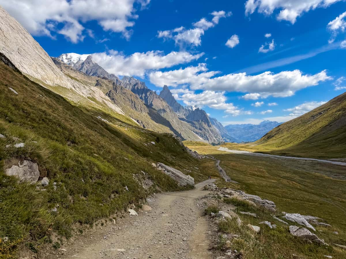
That being said, as you might imagine, there are literally HUNDREDS of social trails, variants, shortcuts, and other offshoots over the 171 kilometers of the Tour du Mont Blanc.
Accordingly, it’s absolutely necessary to have offline maps to follow along. We were hiking in a group of four, with each person having an offline map of some sort, and still wound up off trail on several occasions.
Accordingly, I’d recommend downloading offline maps of the entire Mount Blanc massif area on Google Maps, as well as a trail map on either FarOut or AllTrails.
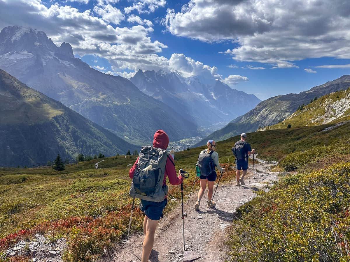
Before hiking the TMB, I’d never heard of FarOut before, but our friends that we hiked with, who are thru-hiking enthusiasts, are BIG fans.
It’s a hiking app that primarily focuses on having dedicated guides to multiday trails, including the Tour du Mont Blanc, with offline maps, recent user feedback, and tons of helpful information, like public transit options and potable water sources. It also lets you customize routes so you can see each day’s elevation gain and distance for each day on the trail.
On the other hand, Justin and I have been longtime fan girls of AllTrails, which also has individual maps of each of the Tour du Mont Blanc stages that you can download. Each of these include information about the location of mountain refuges, cable cars, viewpoints, and more.
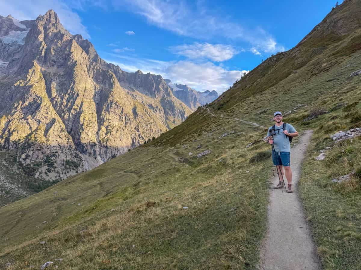
Pssssst…. to use offline maps on AllTrails, you need to have AllTrails+, a premium membership of AllTrails, to download offline maps, but luckily, we got the hookup for our readers, with 30% off your annual subscription. All you need to do is use this link and use the promo code "UPROOTED30" at check out!
Tour du Mont Blanc itinerary
As mentioned above, the Tour du Mont Blanc is traditionally hiked over the course of 11 “stages”, starting and ending in Les Houches, France and following the loop counter-clockwise. However, there are literally endless ways that you can customize the Tour du Mont Blanc, depending on how many days you have to play around with and your physical abilities.
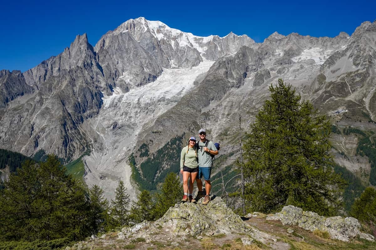
We wrote an entire article all about planning the perfect Tour du Mont Blanc itinerary for your adventure (with tons of options, regardless of how long you can spend on the trail), but here’s a quick overview of the most traditional route:
- Stage 1: Les Houches, France to Les Contaimes, France (17.2 km in length and 1,016 meters in elevation gain)
- Stage 2: Les Contamines, France to Les Chapieux, France (18.3 km in length and 1,350 meters in elevation gain)
- Stage 3: Les Chapieux, France to Rifugio Elisabetta, Italy (14.5 km in length and 1,079 meters in elevation gain)
- Stage 4: Rifugio Elisabetta, Italy to Courmayeur, Italy (16 km in length and 520 meters in elevation gain)
- Stage 5: Courmayeur, Italy to Rifugio Bonatti, Italy (12.3 km in length and 1,092 meters in elevation gain)
- Stage 6: Rifugio Bonnati, Italy to La Fouly, Switzerland (20 km in length and 909 meters in elevation gain)
- Stage 7: La Fouly, Switzerland to Champex-Lac, Switzerland (15.1 km in length and 502 meters in elevation gain)
- Stage 8: Champex-Lac, Switzerland to Trient, Switzerland (15.9 km in length and 802 meters)
- Stage 9: Trient, Switzerland to Montroc, France (14.6 km in length and 1,123 meters in elevation gain)
- Stage 10: Montroc, France to Flégère Hut, France (7.6 km in length and 824 meters in elevation gain)
- Stage 11: Flégère Hut, France to Les Houches, France (17.2 km in length and 723 meters in elevation gain)
These traditional stages do not account for a rest day, which most people take between Stage 4 and Stage 5, in Courmayeur, Italy.
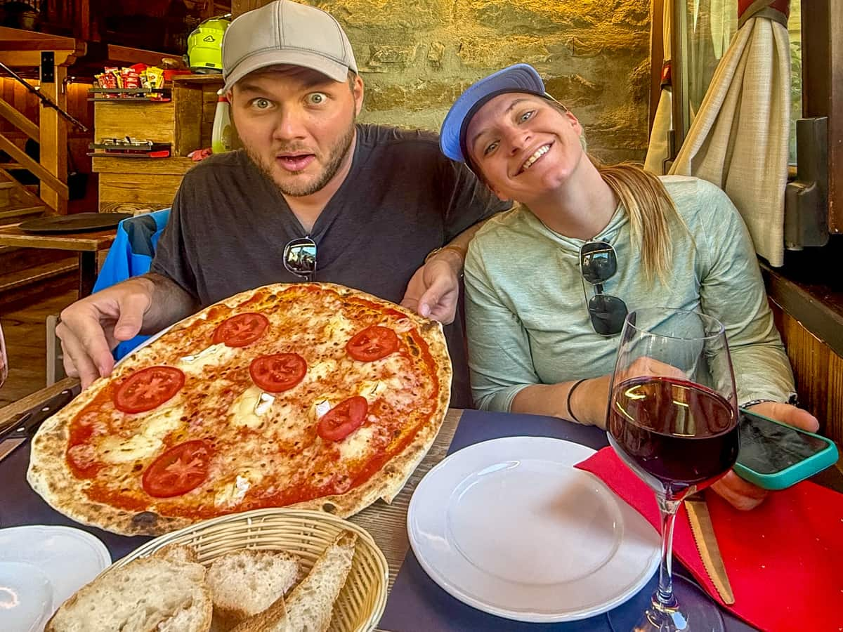
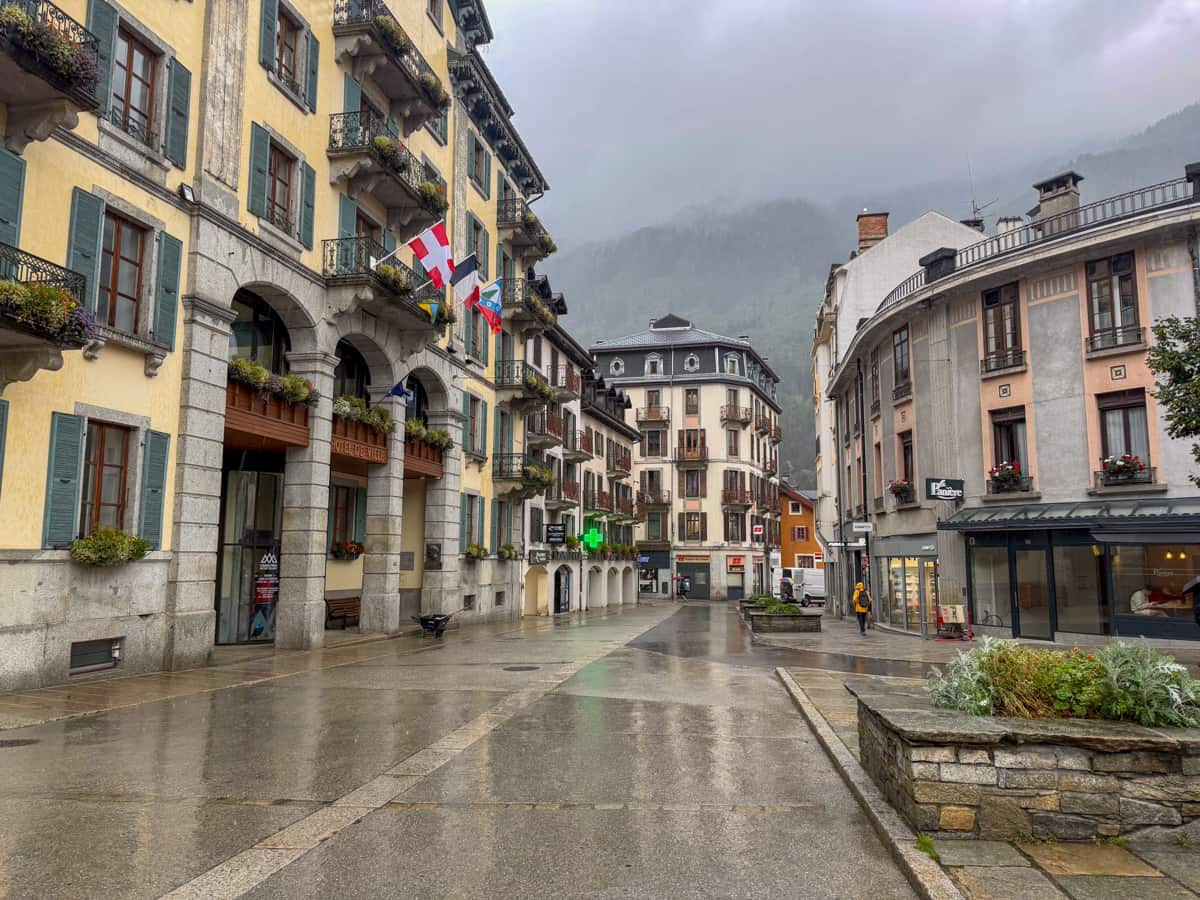
Hikers often choose Courmayeur, Italy as the location of their rest day, given that it’s approximately halfway into the trail and the plethora of restaurants, hotels, and even spas, like QC Terme Mont Bianco Spa and Resort, that you can spend a day recharging at.
The 11 stages also don’t account for any buffer days to get to or from Chamonix, France (or wherever you choose to start your hike).
If you can swing it, I’d highly recommend getting to Chamonix at least a day or two early to try to adjust to the correct time zone (if you’re traveling from abroad) and to pick up any last minute gear, like sunscreen or trekking poles.
Accordingly, it’s a good idea to have about 14 days to dedicate to the TMB, between hiking the traditional route, rest days, and buffer days before and after the trek.
We had 10 days hiking the Tour du Mont Blanc (with 9 full days of hiking, occasionally hiking two stages in one day, plus 1 rest day) and two nights in Chamonix before the trek and I wish we had a teeny bit more wiggle room.
Where to Stay on the Tour du Mont Blanc
There are two ways you can hike the Tour du Mont Blanc—hut-to-hut or camping.
Hut-to-hut
It’s estimated that 90% of hikers, including us, complete the Tour du Mont Blanc as a hut-to-hut trek, staying at mountain refuges every night.
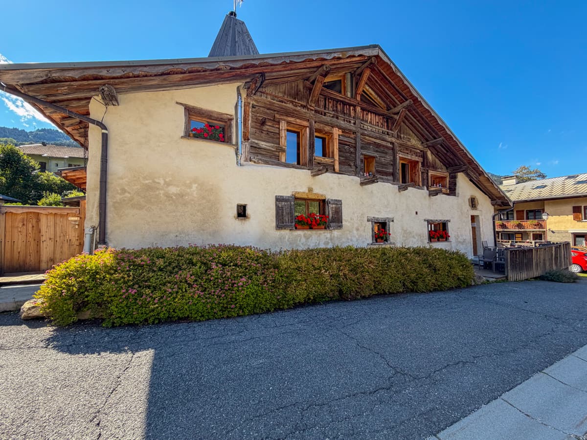
There are some really huge advantages of hiking the Tour du Mont Blanc hut-to-hut.
For one, you don’t have to carry heavy camping gear or spend time setting up or breaking down your campsite every day.
For another, all of the mountain refuges have cozy beds, tasty food, electrical plugs for device charging, and cold beer, as well as a variety of modern comforts at most of the huts, like wifi and hot showers (as a data point, all of our huts had hot water for showers, although two of them limited usage of hot water to a couple of minutes per person).
However, staying at mountain refuges is definitely more expensive than camping along the trail. A campground along the Tour du Mont Blanc will typically cost about €13 per person per night, whereas we spent about €76 per person per night at the mountain refuges, primarily staying in private rooms and with half board (i.e., included breakfast and dinner).
Another serious drawback of hiking the Tour du Mont Blanc hut-to-hut is the difficulty of actually snagging reservations at the mountain refuges. The TMB is an extremely popular trail, with an estimated 20,000 hikers completing it annually. Combined with the extremely short hiking season (from July through mid-September), most refuges completely book out as soon as reservations are released on October 15 of the preceding year on the official Tour du Mont Blanc website.
Accordingly, having your ideal itinerary, mountain refuges, and target dates planned out before reservations are released on October 15th is extremely important. If you want to learn more about the process of booking mountain refuges along the Tour du Mont Blanc, we provided a guide on it here.
Alternatively, many hikers opt to use booking services, who plan their itineraries and reserve their mountain refuges along the way.
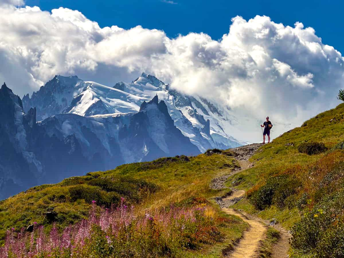
You definitely pay a premium for these services (I’d expect to pay at least $1,000 USD more per person than what you’d spend to book the refuges yourself), but, if you’re short on time or don’t want to worry about the logistics, using a booking service might be a good option.
We don’t have any experience with TMB booking services, as we planned our own itinerary and booked all of the refuges. However, I’ve anecdotally heard positive things about Pygmy Elephant and Mac’s Adventure.
Camping
Alternatively, you can camp along the Tour du Mont Blanc.
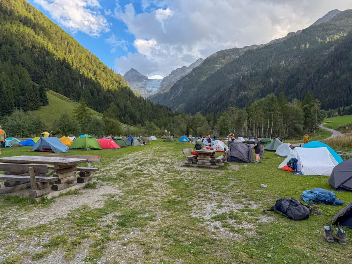
For the most part, you are required to camp in established campgrounds along the Tour du Mont Blanc. There are a handful of places where wild camping is allowed for the night (e.g., there are designated campsites along the trail in France, like a 15 minute walk past the Refuge de Nant Borrant or near Refuge de la Balme), but it’s generally prohibited in most areas.
In addition to being much more affordable and feeling more like a proper backpacking adventure than hut-to-hut hiking, camping along the Tour du Mont Blanc also has provided some flexibility, given that you historically have not had to make reservations at campgrounds.
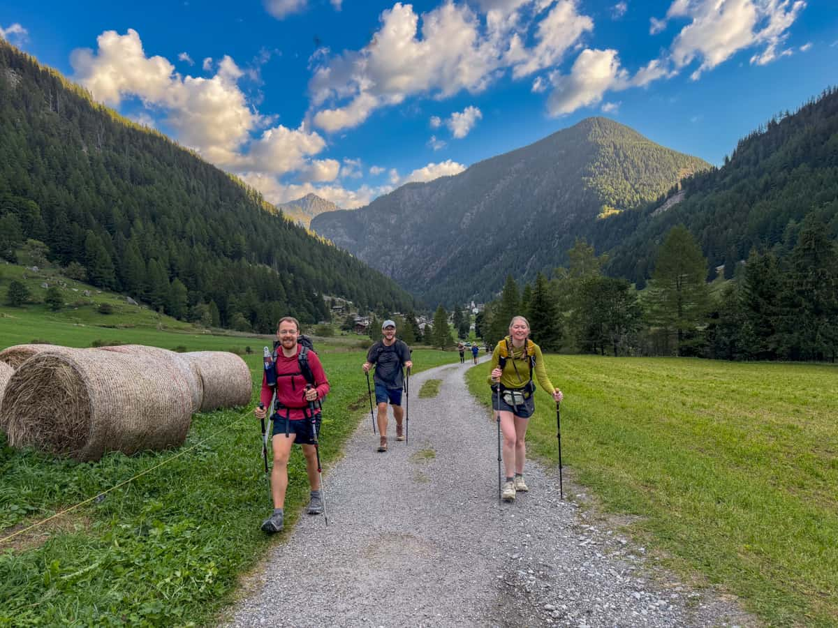
This is helpful in instances where you might want to change your route at the last minute, like if the weather doesn’t cooperate or if you want to take a more challenging variant, and can still easily secure a campsite for the night.
However, as of fall 2026, there are proposed requirements, to take effect in 2027, that all campers must have reservations at campgrounds before setting out on their trek. This will obviously negate some of the flexibility that once was offered by camping.
Food along the Tour du Mont Blanc
You have a few options of how to eat along the Tour du Mont Blanc.
Half board
Most hikers that are completing the TMB as a hut-to-hut trek book their accommodations with half-board, meaning their breakfast and dinner is included in their stay. If you’re camping along the Tour du Mont Blanc, you can also try reserving half board at a nearby refuge, although priority is given to guests staying the night.
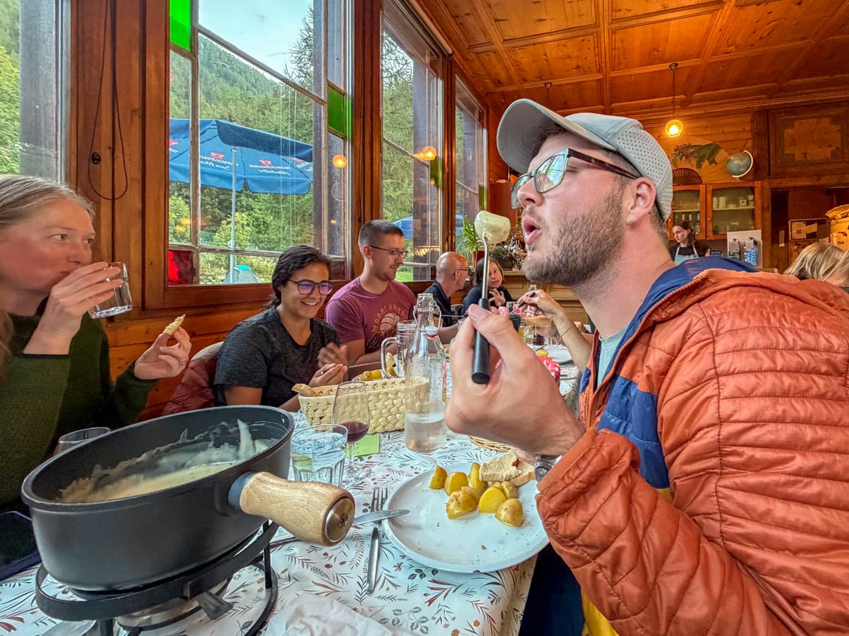
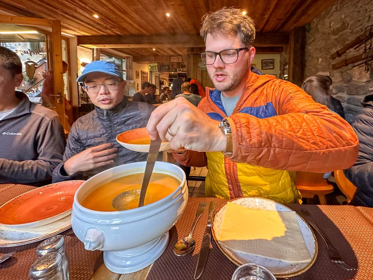
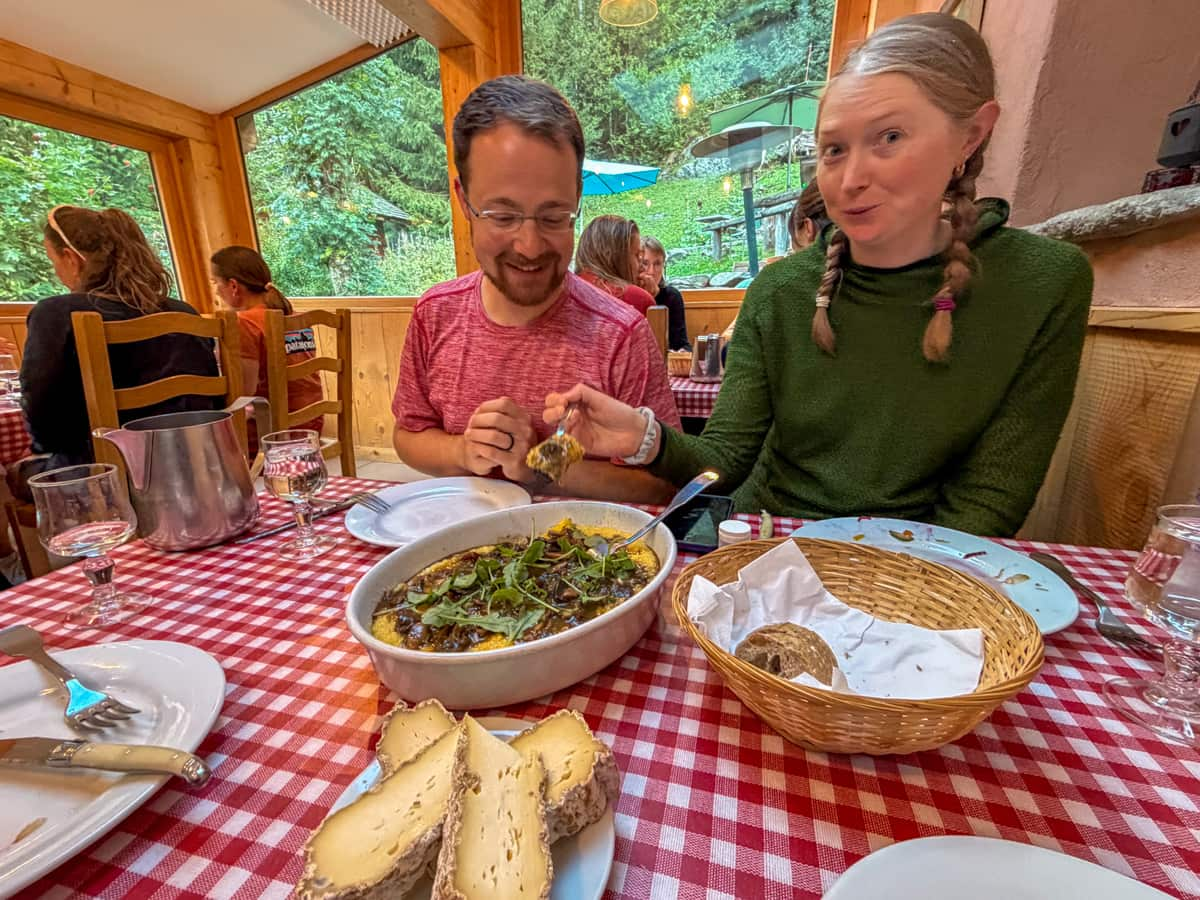
Dinners are usually three courses, served family-style, and often reflect the cuisine of the country the refuge is located in (e.g., we were served a cheese course at Auberge de la Nova in France and cheese fondue at Auberge Gîte Bon Abri in Champex-Lac, Switzerland).
Breakfasts are typically much more simple and are served as a buffet of no-nonsense foods, like yogurt, cheeses, hard-boiled eggs, and breads.
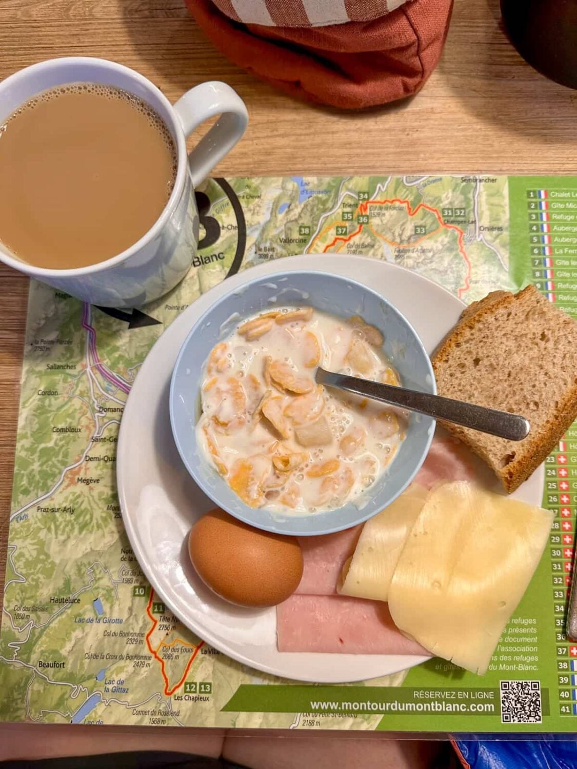
In our experience, meals ranged from being pretty forgettable to downright delicious! Our favorite spots for food were Auberge de la Nova in Les Chapieux, France and Gîte Le Moulin in Montroc, France (turns out the French really do know their food!).
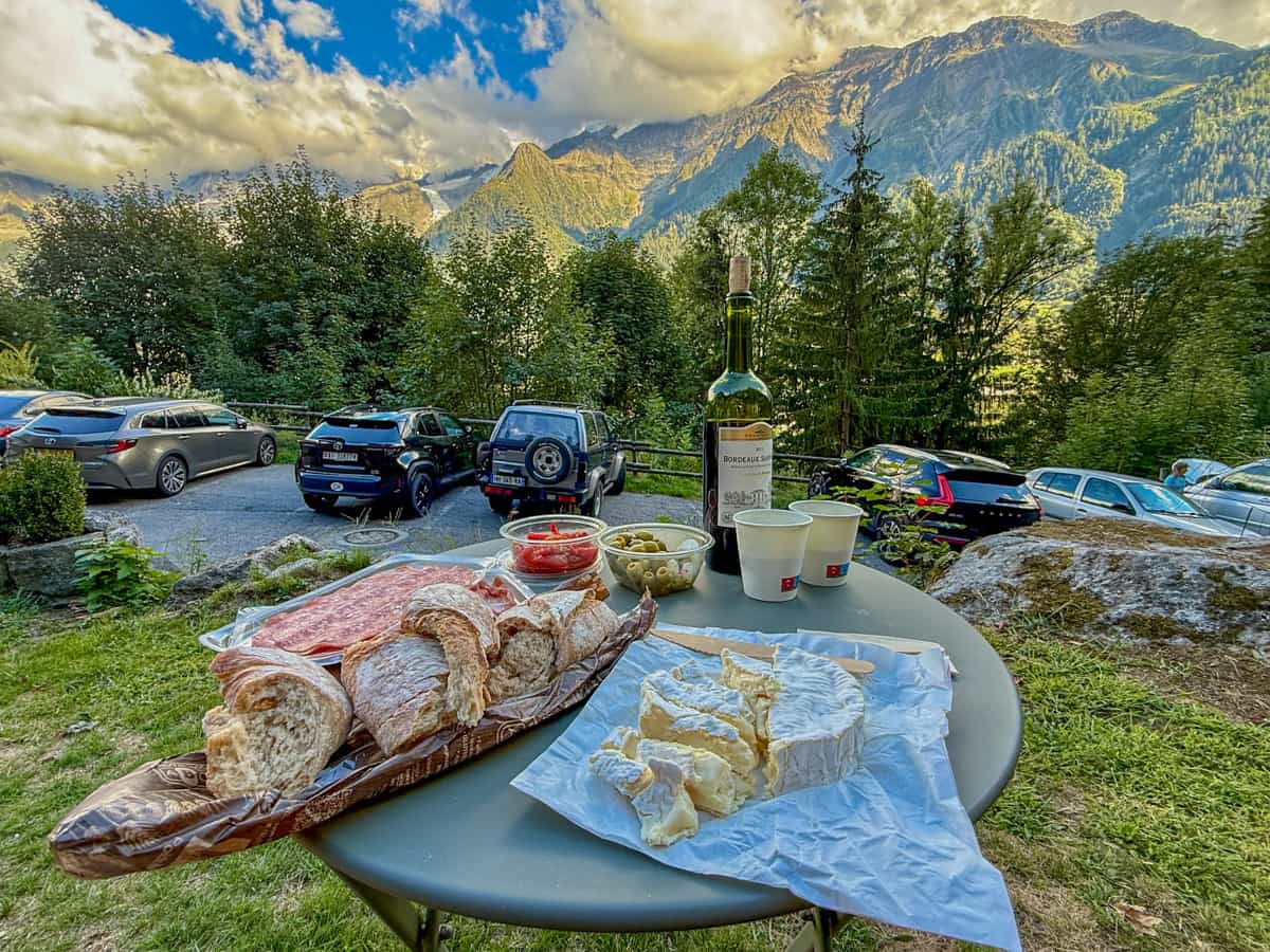
If you opt to book your accommodations half-board, you’ll just need to figure out lunch for yourself. You can buy a sack lunch from the refuge you’re staying at, which typically costs between €12-15, or you can pick lunch up at grocery stores, refuges, or restaurants along the way.
We typically picked up lunch at grocery stores, given that it was usually a much better value than the sack lunches, but we also occasionally stopped at other refuges or restaurants.
Cooking for yourself
If you want to do the TMB as cheaply as possible, you can absolutely cook for yourself. If you choose this option, you’ll generally need to cook with a campstove, given that there aren’t self-catering kitchens available at most of the refuges.
The good news is that there’s tons of spots to restock along the trail. You’ll find some sort of grocery stores in Chamonix, Les Houches, Les Contamines, Courmayeur, La Fouly, Champex-Lac, and Montroc. So, you should only need to carry a couple of days worth of food at any given time.
The bad news is that you might need to get slightly creative about what you eat along the trail—I wouldn’t expect to find any kind of backpacking or other dehydrated meals, besides maybe ramen.
Eating out
Along most of the trail, there are options to eat out at restaurants or cafes, if you don’t want to eat at refuges or cook for yourself.
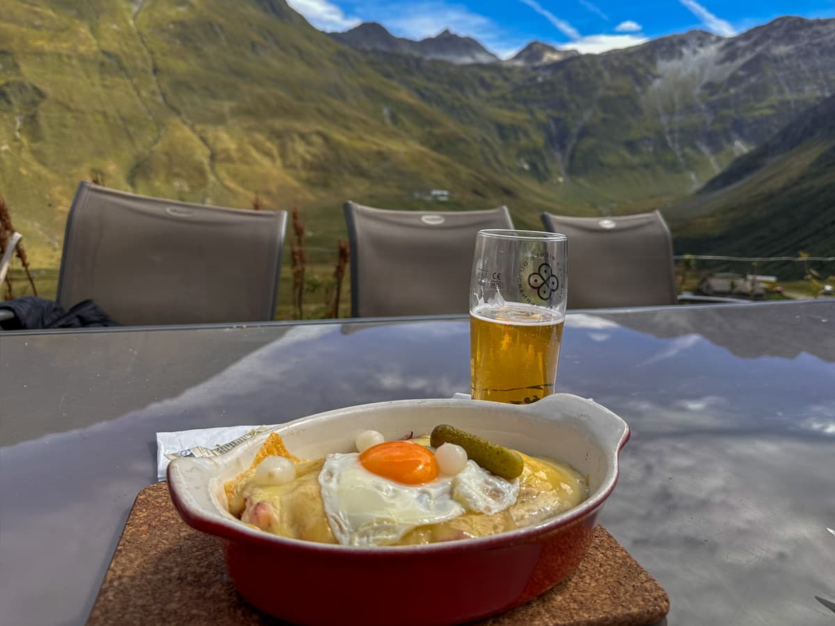
The only time where you’ll be hard-pressed to find a restaurant are on evenings where the endpoint is a remote mountain refuge, without any villages or other civilization around (i.e., Stage 3 at Rifugio Elisabetta, Stage 5 at Rifugio Bonatti, and Stage 10 at Flégère Hut, France).
This strategy would definitely be the priciest option (some of the restaurants along the trail are EXPENSIVE!), but may be something to consider if you’re a huge foodie. I’d just be sure to plan ahead for the days where you’re at the remote mountain huts and consider reserving half-board for those days.
Water along the Tour du Mont Blanc
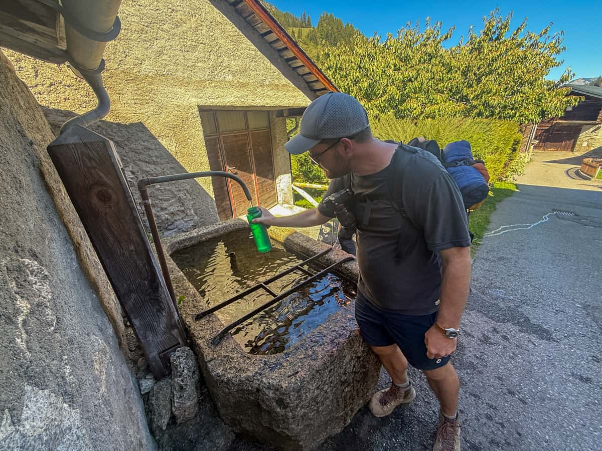
Along most of the Tour du Mont Blanc, there are plentiful fountains with potable water for you to refill your Nalgene bottle or hydration bladder. I’d suggest hiking with 2 to 2.5 liters per person at any given time and filling up as you go.
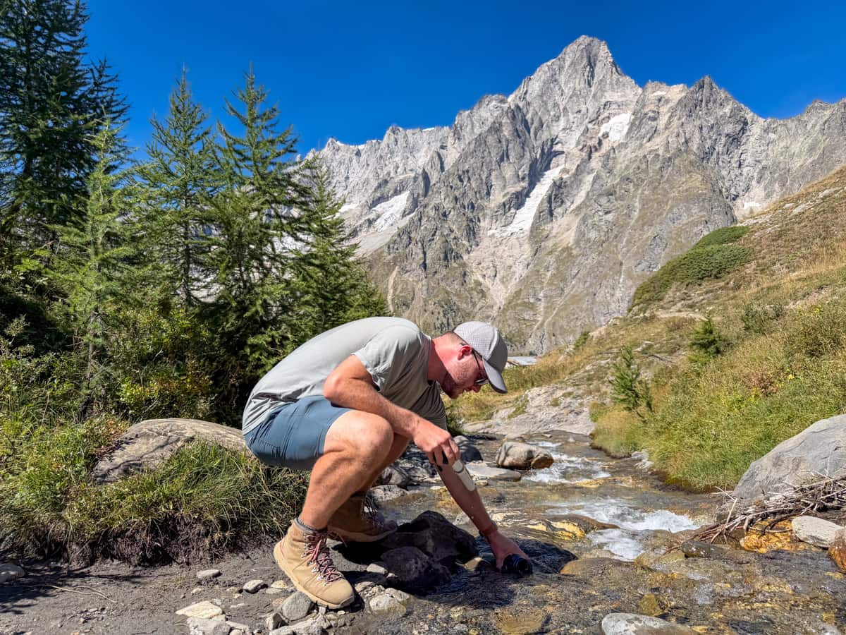
There were a handful of sections along the trail that didn’t have sufficient water fountains for us (like, as we were hiking from Courmayeur to Rifugio Bonatti, Italy on Stage 5), but there’s usually streams and rivers along the way, where you can filter water.
Most of the land around the Tour du Mont Blanc is used as grazing pastures for livestock, so I absolutely would recommend filtering your water before drinking it from any of the water sources. We’ve used this water filter for years and years and it’s worked great!
Bathrooms along the Tour du Mont Blanc
While you’re hiking the Tour du Mont Blanc, you typically pass a toilet every few hours, whether it’s a vault toilet/porta potty or at a refuge or restaurant.
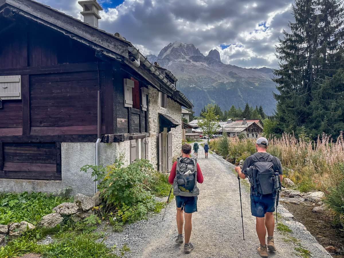
If you stop at a refuge or restaurant to use their toilet, you should purchase something there, whether it’s a shot of espresso or a sandwich, given the expense of maintaining bathrooms in a remote alpine setting.
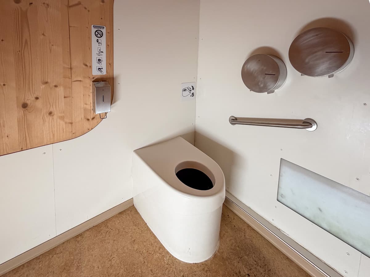
Bathrooms along the trail ranged from being clean to on the grosser side, with extremely strong odors, no toilet seats, or dirty squatty potties. It’s also worth mentioning that the vast majority of bathrooms along the TMB do not provide soap to wash your hands, so I’d strongly recommend packing along a small bottle to keep in your pocket.
If there doesn’t happen to be any toilets around, most stretches of the Tour du Mont Blanc have forests that provide some cover, if you need to relieve yourself.
Generally, there are enough toilets available that most people likely won’t need to poop outside along the trail. However, if you’re somebody who poops frequently or urgently, you may want to include a lightweight backpacking trowel on your Tour du Mont Blanc packing list so that you’re prepared, just in case.
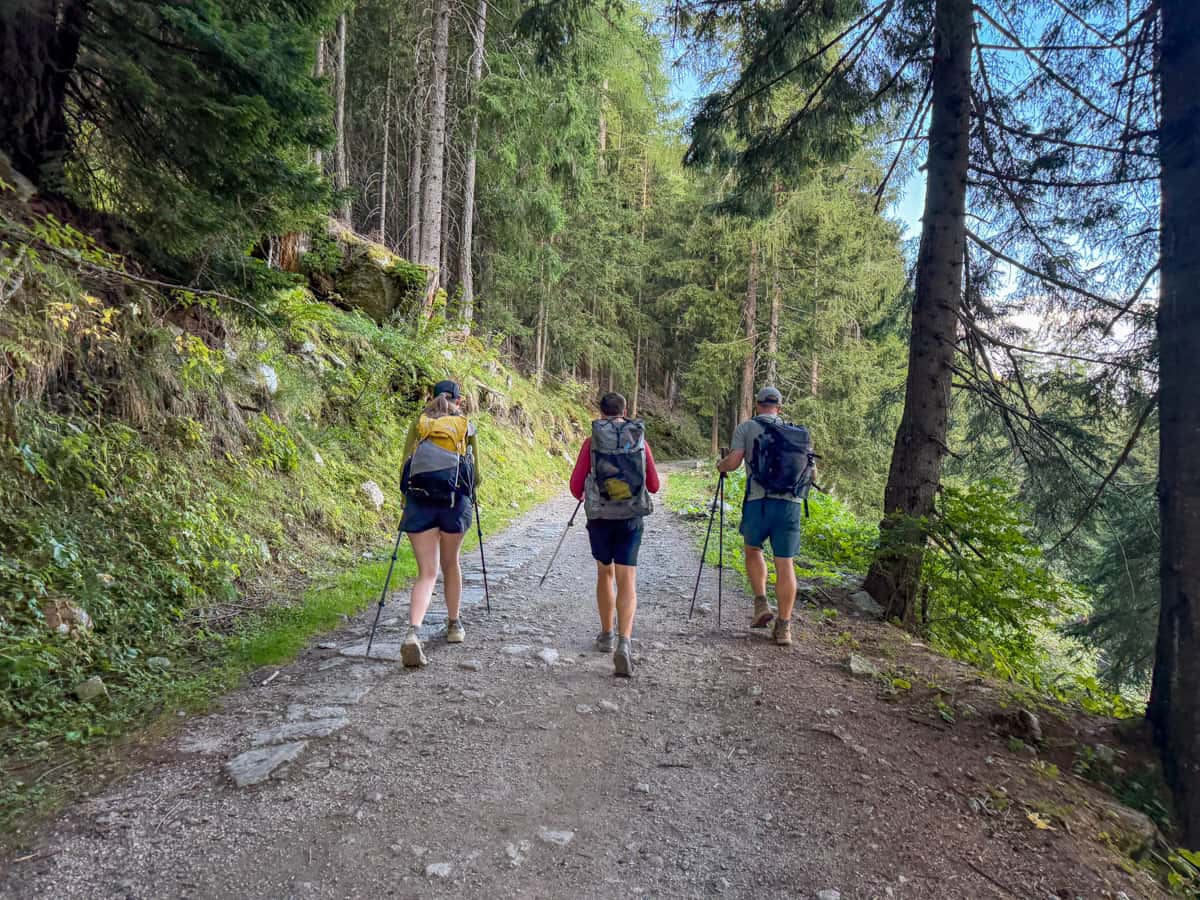
Just remember to follow the leave no trace principles, pack out your used toilet paper, and stay at least 200 feet from any water source.
Cell service and internet along the Tour du Mont Blanc
Cell service is available for a good chunk of the Tour du Mont Blanc, but, like any trek into the mountains, you’ll absolutely lose signal part of the time. For example, there is no cell service in or anywhere near Rifugio Bonatti in Italy.
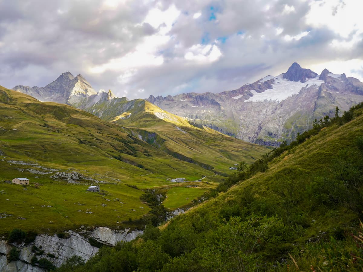
I’d strongly recommend purchasing a regional eSIM before you start your trek, so that you don’t have to worry about changing it as you hop from country to country.
Pssst… you can get 15% off this eSIM when you use the code “JUSTINJESS”!
Most of the refuges have wifi in public spaces (for reference, 7 of the 9 huts we stayed at had it), although some have restrictions on the time that it’s available or the speeds. I personally wouldn’t plan to be on any important Zoom calls or other tasks that require a fast internet connection.
What language is spoken along the Tour du Mont Blanc?
French is spoken in France and in this part of Switzerland, and Italian is spoken in Italy.
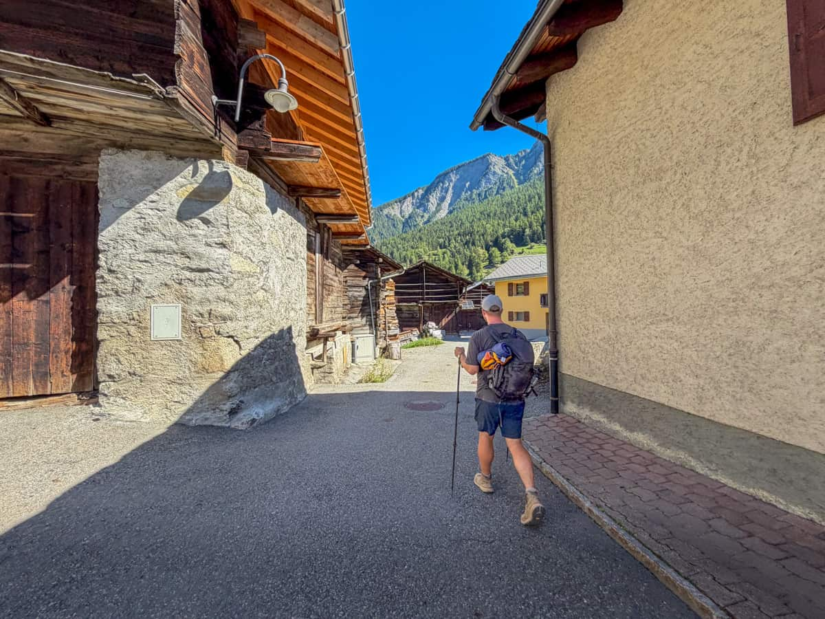
I’d suggest trying to learn some basic phrases (e.g., “hello”, “thank you”, “excuse me”, and “where’s the bathroom?”) and downloading both language packs on your Google Translate app before visiting.
However, we found that the vast majority of workers we interfaced with at mountain refuges, restaurants, or grocery stores spoke basic enough English that communication wasn’t an issue.
When to hike the Tour du Mont Blanc
The most popular time to hike the Tour du Mont Blanc is from July to mid-September, when the trail is generally snow- and ice-free.
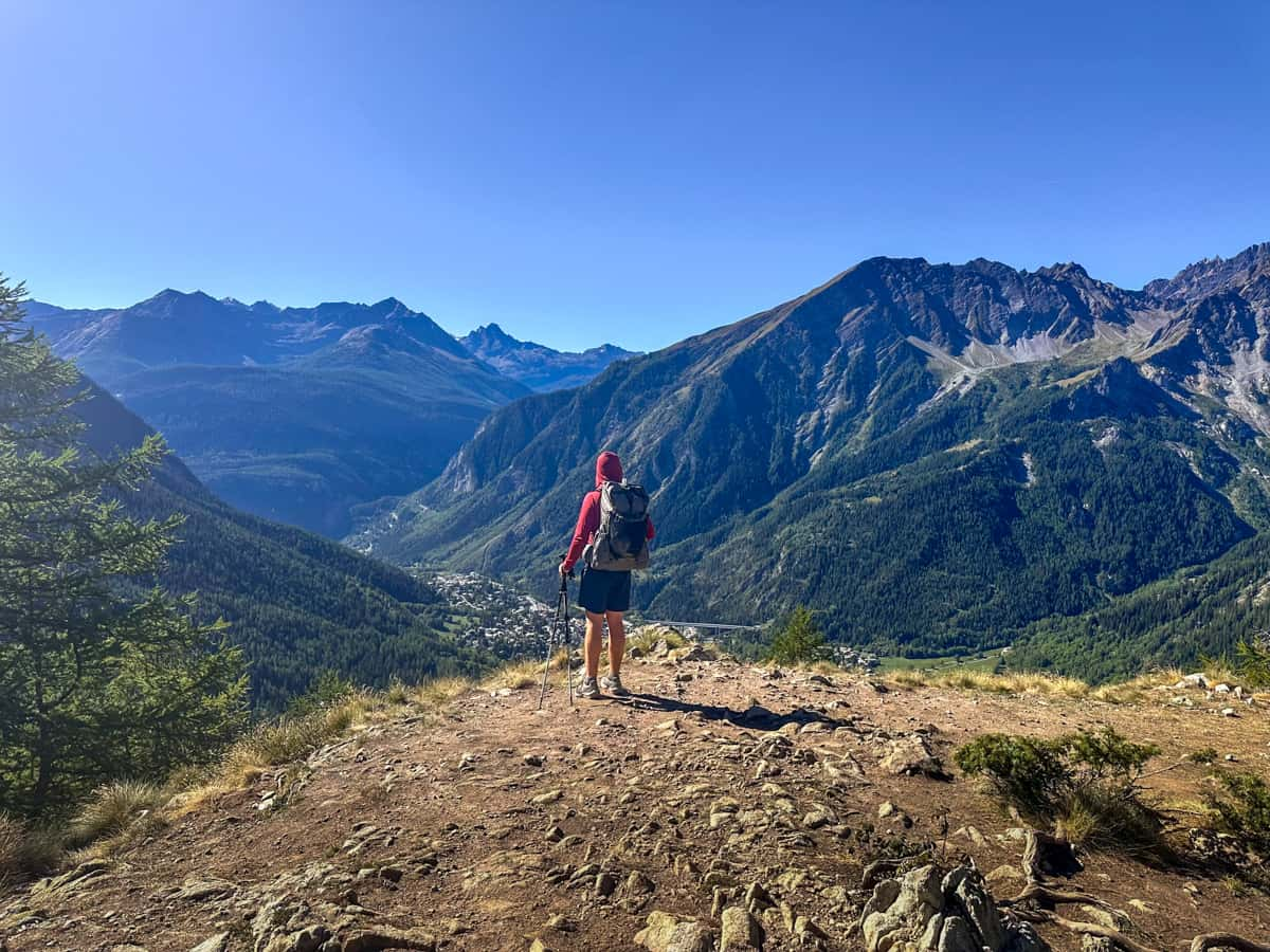
This also corresponds with when refuges, campgrounds, and other amenities, like public transportation or restaurants, are operational along the trail. Many businesses close outside of this window, due to the heavy snowfall at higher elevations.
We hiked the Tour du Mont Blanc in early September and LOVED it. We lucked out with beautiful weather nine out of the ten days we were on the trail; had moderately cool temperatures that were perfect for challenging climbs; and saw tons of cute animals in the pastures (which apparently are harder to see in the hotter months).
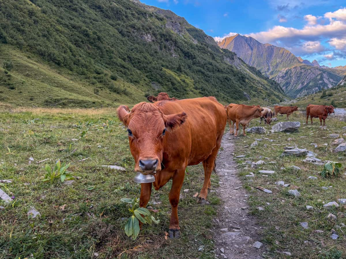
If you’re looking to avoid the crowds or if mountain refuges are all booked up during the regular season, you can absolutely try to hike the trail in June or through early October. However, I’d come prepared with microspikes for snow patches; flexibility in your route to accommodate closures at mountain huts or other amenities; and a willingness to change your plans if the weather flares up.
Hiking along the trail anytime from mid-October through May would likely be impossible, due to the heavy snowfall and refuge closures. Even if you could access the trail during this time, I really wouldn’t recommend it, due to high avalanche risk and dangerous weather conditions.
Weather along the Tour du Mont Blanc
Weather along the Tour du Mont Blanc can be all over the place, given that you’re covering 171 kilometers and changing altitude quite a bit.
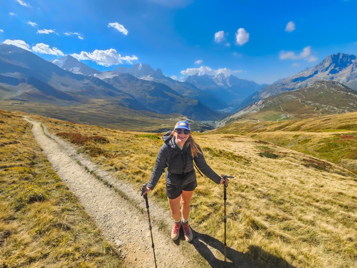
When you’re hiking in lower valleys, temperatures typically range from 15°C to 30°C (59°F to 86°F), although there’s been some significantly warmer temperatures along the trail the past few summers. For example, we hiked in early September and still had a few days that were almost 33°C!
At higher altitudes and in the early mornings and evenings, the temperatures tend to be colder, averaging from about 5°C to 15°C (41°F to 59°F).
The weather can also change rapidly, going from sunny, with barely a cloud in the sky, to heavy rainfall or even snow, in the blink of an eye.
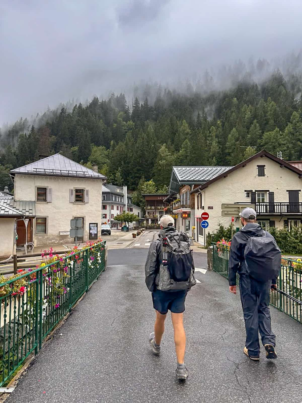
Accordingly, it’s important to come prepared for all types of weather, with waterproof clothing and warm layers, regardless of which month you’re hiking the TMB.
What to pack for the Tour du Mont Blanc
We wrote an entire article about what to pack for the Tour du Mont Blanc, but here’s the basics in a nutshell:
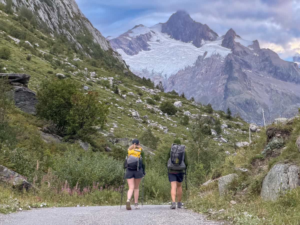
Backpack
- For women: Osprey Kyte 38L
- For men: Osprey Talon 33L
Clothes
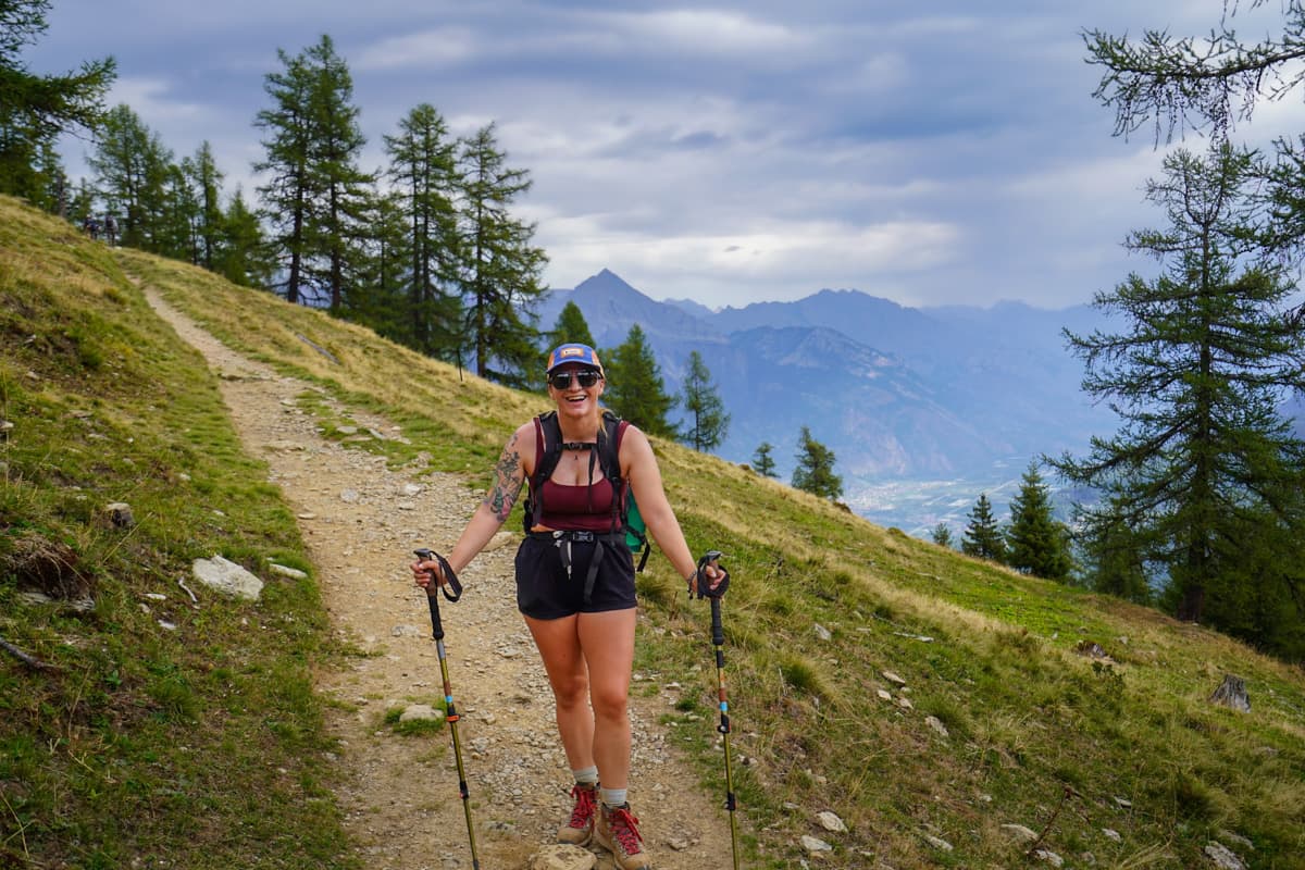
Women’s Clothing
- Tank top
- Hiking t-shirt (x2)
- Sun hoodie
- Shorts
- Lightweight hiking pants
- Socks (x3)
- Underwear (x3)
- Baseball hat
- Beanie
- Sports bra
- Puffer jacket
- Rain jacket
- Rain pants
- Hiking boots
- Hiking sandals
- Swimsuit (optional)
Men’s clothes
- T-shirts (x2)
- Sun hoodie
- Shorts (x2)
- Socks (x3)
- Underwear (x3)
- Baseball hat
- Beanie
- Puffer jacket
- Rain jacket
- Rain pants
- Hiking boots
- Hiking sandals
Toiletries
- Toothbrush
- Floss
- Travel toothpaste
- Travel deodorant
- Sunscreen
- Dr. Bronner’s soap
- Chapstick
- Glasses, contact case, and contact solution (if needed)
- Ibuprofen
- Antihistamine
- Hand sanitizer
- Melatonin
- Body Glide
- First aid kit
Miscellaneous
- Sleeping bag liner
- Nalgene bottle or hydration bladder
- Water filter and 1L bottle to filter from
- Sunglasses
- Passport
- Debit and credit cards
- Cash
- Ear plugs
- Eye Mask
- Trash bag (x5)
- Ziploc baggies (x10)
- Quickdry lightweight towel
- Toilet paper
- Backpacking trowel (optional)
- Offline maps, on Google Maps and FarOut or AllTrails
- Deck of cards
- Travel insurance
Tech gear
- Cell phone
- Charging cables
- Battery pack
- Wireless headphones
- Headlamp
- European power adapter
- eSIM
There you have it—a complete guide to hiking the Tour du Mont Blanc! I know it’s a TON of information to process, so let me know if you have any questions about planning your trek or what it’s like on the trail.
Thank you for reading our post! Check out our latest stories here and follow us on Instagram (@JustinAndJess_), YouTube, TikTok, or on Facebook to see what we’re up to next!
